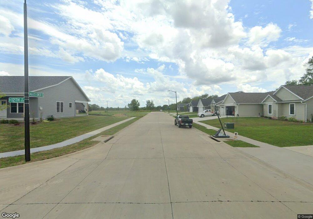
Lot 13 Eagle Crest Dr Davenport, IA 52804
Northwest Davenport NeighborhoodEstimated Value: $370,929 - $430,000
3
Beds
2
Baths
1,387
Sq Ft
$285/Sq Ft
Est. Value
About This Home
This home is located at Lot 13 Eagle Crest Dr, Davenport, IA 52804 and is currently estimated at $395,982, approximately $285 per square foot. Lot 13 Eagle Crest Dr is a home located in Scott County with nearby schools including Walnut Hill Elementary School, South Christian Elementary School, and Frank L. Smart Intermediate School.
Ownership History
Date
Name
Owned For
Owner Type
Purchase Details
Closed on
Apr 3, 2024
Sold by
Silverthorne Development Co
Bought by
Maldonado Angel and Maldonado Yomarie
Current Estimated Value
Home Financials for this Owner
Home Financials are based on the most recent Mortgage that was taken out on this home.
Original Mortgage
$367,500
Outstanding Balance
$361,315
Interest Rate
6.87%
Mortgage Type
VA
Estimated Equity
$34,667
Purchase Details
Closed on
Feb 28, 2023
Sold by
Grunwald Land Development Lc
Bought by
Silverthorne Development Co
Home Financials for this Owner
Home Financials are based on the most recent Mortgage that was taken out on this home.
Original Mortgage
$289,429
Interest Rate
6.15%
Mortgage Type
Construction
Create a Home Valuation Report for This Property
The Home Valuation Report is an in-depth analysis detailing your home's value as well as a comparison with similar homes in the area
Home Values in the Area
Average Home Value in this Area
Purchase History
| Date | Buyer | Sale Price | Title Company |
|---|---|---|---|
| Maldonado Angel | $367,500 | None Listed On Document | |
| Silverthorne Development Co | $45,000 | Meridian Title |
Source: Public Records
Mortgage History
| Date | Status | Borrower | Loan Amount |
|---|---|---|---|
| Open | Maldonado Angel | $367,500 | |
| Previous Owner | Silverthorne Development Co | $289,429 |
Source: Public Records
Tax History Compared to Growth
Tax History
| Year | Tax Paid | Tax Assessment Tax Assessment Total Assessment is a certain percentage of the fair market value that is determined by local assessors to be the total taxable value of land and additions on the property. | Land | Improvement |
|---|---|---|---|---|
| 2025 | -- | $391,890 | $46,080 | $345,810 |
| 2024 | $28 | $346,780 | $46,080 | $300,700 |
| 2023 | $34 | $1,550 | $1,550 | $0 |
| 2022 | $34 | $1,550 | $1,550 | $0 |
| 2021 | $34 | $1,550 | $1,550 | $0 |
| 2020 | $34 | $1,550 | $1,550 | $0 |
Source: Public Records
Map
Nearby Homes
- 4703 W 13th St
- 1210 Eagle's Crest Dr
- 1312 Emerald Dr
- 1310 Calvin St
- 1139 Calvin St
- 1215 Calvin St
- 4738 W 11th St
- 4017 W 13th St
- 3920 W 13th St
- 5321 Friendship Dr Unit 5320
- 2025 Emerald Dr
- 4836 W Pleasant St
- 2218 Emerald Dr
- 1422 Racine Ct
- 4435 Telegraph Rd
- 1515 Rhinelander Dr
- 5529 Baraboo Ct
- 1536 Rhinelander Dr
- 2230 Emerald Dr
- 0 W Locust St Unit Utah
- 0 Eagles Crest Ave Unit 4108078
- 0 Eagles Crest Ave Unit 7027074
- 0 Eagles Crest Ave Unit 7030052
- 0 Eagles Crest Ave Unit 7028966
- 0 Eagles Crest Ave Unit 7030051
- 0 Eagles Crest Ave Unit 7028965
- 0 Eagles Crest Ave Unit LT1-7 7032794
- 0 Eagles Crest Ave Unit LT13 7032796
- 0 Eagles Crest Ave Unit LT12 7032795
- 0 Eagles Crest Ave Unit 7035152
- 0 Eagles Crest Ave Unit LT 13 7035154
- 0 Eagles Crest Ave Unit LT 12 7035153
- 0 Eagles Crest Ave Unit 4107289
- 0 Eagles Crest Ave Unit 4126609
- 00 Eagles Crest Ave
- 0 Eagles Crest Ave Unit 1st Addn.
- 0 Eagles Crest Ave Unit LT 13 QC7035154
- 0 Eagles Crest Ave Unit LT 12 QC7035153
- 0 Eagles Crest Ave Unit LT13 QC7032796
- 0 Eagles Crest Ave Unit LT12 QC7032795