Lot 16 Bowdrie Trail Whitefish, MT 59937
Estimated Value: $301,000 - $394,000
Studio
--
Bath
--
Sq Ft
42,253
Sq Ft Lot
About This Home
This home is located at Lot 16 Bowdrie Trail, Whitefish, MT 59937 and is currently estimated at $342,000. Lot 16 Bowdrie Trail is a home located in Flathead County with nearby schools including L.A. Muldown School, Whitefish Middle School, and Whitefish High School.
Ownership History
Date
Name
Owned For
Owner Type
Purchase Details
Closed on
Dec 1, 2020
Sold by
Hale Tony L and Hale Tiffany
Bought by
Renson Ashlee R
Current Estimated Value
Purchase Details
Closed on
Apr 29, 2020
Sold by
Larson Marc J and Larson Sabrina
Bought by
Hale Tony L and Hale Tiffany
Home Financials for this Owner
Home Financials are based on the most recent Mortgage that was taken out on this home.
Original Mortgage
$94,000
Interest Rate
3.6%
Mortgage Type
New Conventional
Purchase Details
Closed on
Nov 17, 2014
Sold by
Patriot Properties Llc
Bought by
Larson Marc J and Larson Sabrina
Purchase Details
Closed on
Sep 20, 2011
Sold by
Jones Brian C
Bought by
Patriot Properties Llc
Purchase Details
Closed on
Jul 15, 2011
Sold by
Lincoln Trust Co
Bought by
Payne Eric
Purchase Details
Closed on
Jan 7, 2007
Sold by
The Timbers At Whitefish Llc
Bought by
Jones Brian C
Create a Home Valuation Report for This Property
The Home Valuation Report is an in-depth analysis detailing your home's value as well as a comparison with similar homes in the area
Home Values in the Area
Average Home Value in this Area
Purchase History
| Date | Buyer | Sale Price | Title Company |
|---|---|---|---|
| Renson Ashlee R | -- | Premier Title | |
| Hale Tony L | -- | Premier Title | |
| Larson Marc J | -- | First American Title Company | |
| Patriot Properties Llc | $104,139 | None Available | |
| Payne Eric | -- | First American Title Company | |
| Jones Brian C | -- | Alliance Title |
Source: Public Records
Mortgage History
| Date | Status | Borrower | Loan Amount |
|---|---|---|---|
| Previous Owner | Hale Tony L | $94,000 |
Source: Public Records
Tax History
| Year | Tax Paid | Tax Assessment Tax Assessment Total Assessment is a certain percentage of the fair market value that is determined by local assessors to be the total taxable value of land and additions on the property. | Land | Improvement |
|---|---|---|---|---|
| 2025 | $660 | $254,621 | $0 | $0 |
| 2024 | $843 | $183,765 | $0 | $0 |
| 2023 | $1,131 | $183,765 | $0 | $0 |
| 2022 | $572 | $92,743 | $0 | $0 |
| 2021 | $621 | $92,743 | $0 | $0 |
| 2020 | $828 | $122,019 | $0 | $0 |
| 2019 | $925 | $122,019 | $0 | $0 |
| 2018 | $659 | $83,648 | $0 | $0 |
| 2017 | $617 | $83,648 | $0 | $0 |
| 2016 | $566 | $75,300 | $0 | $0 |
| 2015 | $560 | $75,300 | $0 | $0 |
| 2014 | $507 | $43,664 | $0 | $0 |
Source: Public Records
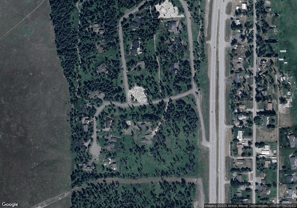
Map
Nearby Homes
- 289 Layton Rd
- 4870 US Highway 93 S Unit 38
- 269 Layton Rd
- 284 Layton Rd
- 365 Layton Rd
- 257 Fawn Trail
- NHN Bowdish Rd
- 1396 Whitefish Village Dr
- 1785 Hodgson Rd
- 272/268 Moose Trail
- 181 Mallard Loop
- 129 Mallard Loop
- 1310 Prairie View Rd
- 1064 Whitefish Village Dr
- 205 Whitetail Ln
- 1851 Whitefish Ranch Rd
- 109 Lidstrom Rd
- 182 Rosewood Ln Unit Lot 15
- 161 Rosewood Unit Lot 10
- 185 Rosewood Ln Unit Lot 14
- Lot 16 the Timbers at Whitefish
- Lot 2 Bowdrie Trail
- Lot 21 Bowdrie Trail
- Nhn Bowdrie Trail Timbered Terrace
- Nhn Bowdrie Trail
- 0 Nhn Bowdrie Trail Unit Lot 9
- 191 Timbered Terrace
- 30 Timbered Terrace
- 174 Timbered Terrace
- 306 Bowdrie Trail
- 306 Bowdrie Trail
- 4634 Us Highway 93 S
- 287 Bowdrie Trail
- Nhn Timbered Terrace
- 48 Timbered Terrace Unit Lot 18
- 48 Timbered Terrace
- 177 Timbered Terrace
- 4634 U S 93
- 324 Bowdrie Trail Unit Lot 2
- 324 Bowdrie Trail
Your Personal Tour Guide
Ask me questions while you tour the home.