Lot 2 Triple Ln Stevensville, MT 59870
Estimated Value: $744,000 - $806,000
3
Beds
2
Baths
1,680
Sq Ft
$460/Sq Ft
Est. Value
About This Home
This home is located at Lot 2 Triple Ln, Stevensville, MT 59870 and is currently estimated at $772,958, approximately $460 per square foot. Lot 2 Triple Ln is a home located in Ravalli County with nearby schools including Stevensville Elementary School, Stevensville Junior High School, and Stevensville High School.
Ownership History
Date
Name
Owned For
Owner Type
Purchase Details
Closed on
Apr 18, 2025
Sold by
Heald Family 2008 Trust and Heald Charles E
Bought by
Damrow Ross M and Damrow Ann Bjoin
Current Estimated Value
Home Financials for this Owner
Home Financials are based on the most recent Mortgage that was taken out on this home.
Original Mortgage
$636,000
Outstanding Balance
$633,177
Interest Rate
6.65%
Mortgage Type
New Conventional
Estimated Equity
$139,781
Purchase Details
Closed on
Jan 17, 2023
Sold by
Heald Family 2008 Trust
Bought by
Montana Department Of Transportation
Purchase Details
Closed on
Mar 7, 2016
Sold by
Nd Ventures Llc
Bought by
Heald Charles E Te and Heald Linda J Te
Purchase Details
Closed on
Oct 22, 2010
Bought by
N D Ventures Llc
Create a Home Valuation Report for This Property
The Home Valuation Report is an in-depth analysis detailing your home's value as well as a comparison with similar homes in the area
Home Values in the Area
Average Home Value in this Area
Purchase History
| Date | Buyer | Sale Price | Title Company |
|---|---|---|---|
| Damrow Ross M | -- | Flying S Title And Escrow | |
| Montana Department Of Transportation | -- | -- | |
| Heald Charles E Te | $219,520 | -- | |
| N D Ventures Llc | -- | -- |
Source: Public Records
Mortgage History
| Date | Status | Borrower | Loan Amount |
|---|---|---|---|
| Open | Damrow Ross M | $636,000 |
Source: Public Records
Tax History Compared to Growth
Tax History
| Year | Tax Paid | Tax Assessment Tax Assessment Total Assessment is a certain percentage of the fair market value that is determined by local assessors to be the total taxable value of land and additions on the property. | Land | Improvement |
|---|---|---|---|---|
| 2025 | $2,847 | $732,300 | $0 | $0 |
| 2024 | $3,548 | $600,800 | $0 | $0 |
| 2023 | $4,294 | $600,800 | $0 | $0 |
| 2022 | $3,022 | $450,800 | $0 | $0 |
| 2021 | $3,416 | $450,800 | $0 | $0 |
| 2020 | $3,278 | $414,500 | $0 | $0 |
| 2019 | $3,240 | $414,500 | $0 | $0 |
| 2018 | $2,964 | $386,136 | $0 | $0 |
| 2017 | $2,755 | $386,136 | $0 | $0 |
| 2016 | $2,322 | $310,300 | $0 | $0 |
| 2015 | $358 | $47,137 | $0 | $0 |
| 2014 | $716 | $56,412 | $0 | $0 |
Source: Public Records
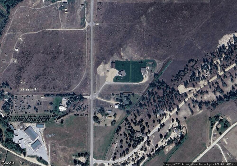
Map
Nearby Homes
- 4784 Cameron Rose Ln
- 5289 Gabriels Way
- 5031 Cameron Rose Ln
- 5014 Eastside Hwy
- 4728 Northview Dr
- nhn 3 Mile Creek Rd
- 4786 Hereford Ln
- 201 Barnwood Way
- 205 Barnwood Way
- 332 Hadli Ct
- 4441 Gem Ranch Rd
- 1216 Rugged Ridge Rd
- 226 Sky Pilot Ln
- NKN Cougar Ln
- 475 Echo Ridge
- 5583 Eastside Hwy
- 417 Kammie Ct
- 4465 Collie Ct
- 4488 Collie Ct
- 4927 Hoblitt Ln S
- Lot 1 Triple Ln
- NHN Triple Ln
- 5162 Eastside Hwy
- Lot 12-A1 Wheatland Way
- 5150 Eastside Hwy
- Unk E Side Hwy
- 432 Triple Ln
- 5163 Eastside Hwy
- 418 Porter Hill Rd
- 442 Porter Hill Rd
- New Eastside Hwy
- 0 Porter Hill Rd
- 5125 Eastside Hwy
- Unk Hw 203
- 411 Porter Hill Rd
- 5191 E Side Hwy 203
- 405 Porter Hill Rd
- 5191 Eastside Hwy
- Unk Porter Hill Rd
- 354 Metcalf Vista Rd