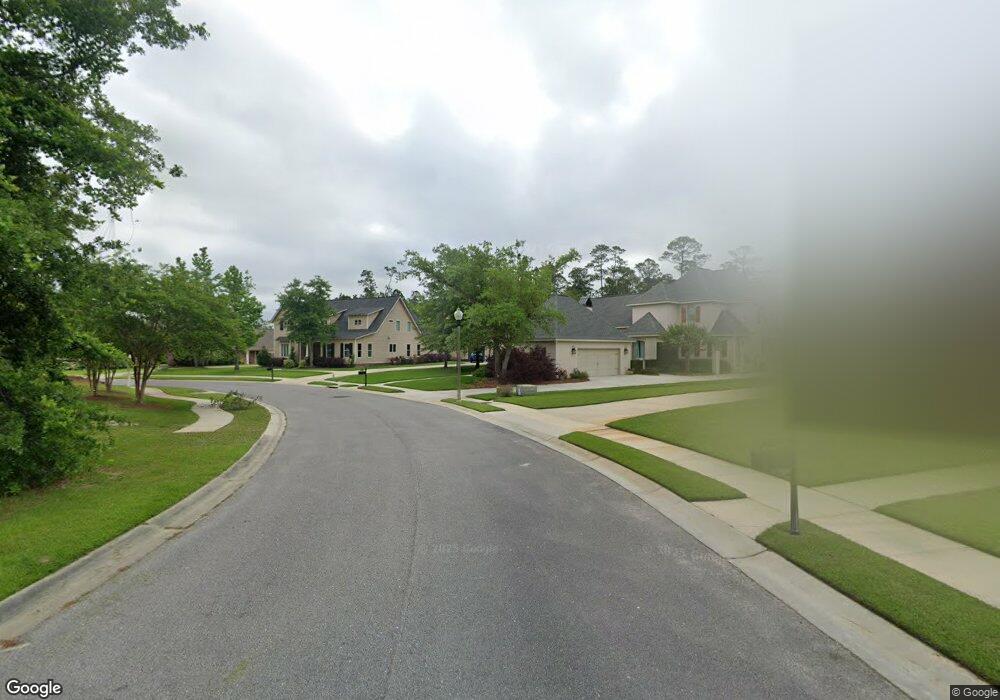
Lot 31 Emily Dr Biloxi, MS 39532
Estimated Value: $140,000
--
Bed
--
Bath
--
Sq Ft
0.41
Acres
About This Home
This home is located at Lot 31 Emily Dr, Biloxi, MS 39532 and is currently estimated at $140,000. Lot 31 Emily Dr is a home located in Harrison County with nearby schools including North Bay Elementary School, Biloxi Junior High School, and Biloxi High School.
Ownership History
Date
Name
Owned For
Owner Type
Purchase Details
Closed on
Aug 6, 2020
Sold by
Smith Scott Derrick and Smith Ginger L
Bought by
Mandel Robert A and Mandel Michele L
Current Estimated Value
Purchase Details
Closed on
Apr 3, 2017
Sold by
Maxwell Ii Rybon Ross and Maxwell Ginger Ann
Bought by
Smith Scott Derrick and Smith Ginger L
Home Financials for this Owner
Home Financials are based on the most recent Mortgage that was taken out on this home.
Original Mortgage
$112,500
Interest Rate
4.1%
Purchase Details
Closed on
Jan 15, 2016
Bought by
Maxwell Ii Rybon Ross and Maxwell Ginger Ann
Purchase Details
Closed on
May 15, 2013
Sold by
Tsg Real Estate Ii Llc
Bought by
Yard Justin D and Yard Ashlee D
Home Financials for this Owner
Home Financials are based on the most recent Mortgage that was taken out on this home.
Original Mortgage
$55,900
Interest Rate
3.42%
Create a Home Valuation Report for This Property
The Home Valuation Report is an in-depth analysis detailing your home's value as well as a comparison with similar homes in the area
Home Values in the Area
Average Home Value in this Area
Purchase History
| Date | Buyer | Sale Price | Title Company |
|---|---|---|---|
| Mandel Robert A | -- | None Available | |
| Smith Scott Derrick | -- | -- | |
| Maxwell Ii Rybon Ross | -- | -- | |
| Yard Justin D | -- | -- |
Source: Public Records
Mortgage History
| Date | Status | Borrower | Loan Amount |
|---|---|---|---|
| Previous Owner | Smith Scott Derrick | $112,500 | |
| Previous Owner | Yard Justin D | $55,900 |
Source: Public Records
Tax History Compared to Growth
Tax History
| Year | Tax Paid | Tax Assessment Tax Assessment Total Assessment is a certain percentage of the fair market value that is determined by local assessors to be the total taxable value of land and additions on the property. | Land | Improvement |
|---|---|---|---|---|
| 2024 | $554 | $5,000 | $0 | $0 |
| 2023 | $549 | $5,000 | $0 | $0 |
| 2022 | $549 | $5,000 | $0 | $0 |
| 2021 | $549 | $5,000 | $0 | $0 |
| 2020 | $659 | $6,000 | $0 | $0 |
| 2019 | $659 | $6,000 | $0 | $0 |
| 2018 | $659 | $6,000 | $0 | $0 |
| 2017 | $659 | $6,000 | $0 | $0 |
| 2015 | $659 | $6,000 | $0 | $0 |
| 2014 | -- | $10,000 | $0 | $0 |
| 2013 | -- | $6,000 | $6,000 | $0 |
Source: Public Records
Map
Nearby Homes
- 0 Caroline Dr Unit 4117846
- 0 Campbell Road Dr Unit 4027188
- 1853 Popps Ferry Rd
- 1099 Campbell Dr
- 0 Jam Ln
- 939 Tommy Munro Dr
- 0 Popps Ferry Rd Unit 4108141
- 0 Popps Ferry Rd Unit 4108136
- 2090 Woodfield Ln
- 2077 Crane Ridge
- 957 Rustwood Dr
- 2053 Carolwood Dr
- 748 Malpass Landing Dr
- 820 Leeward Dr
- 739 Malpass Landing Dr
- 11532 Cedar Lake Rd
- 944 Cedar Lake Rd
- 2158 Baywood Dr
- 0 Silkwood Ln
- 2143 Baywood Dr
- Lot 26 Emily Dr
- 976 Emily Dr
- 972 Campbell Dr
- 976 Campbell Dr
- 972 Emily Dr
- 0 Emily Dr Unit 3263135
- 0 Emily Dr Unit 3263683
- 0 Emily Dr Unit 3313182
- 1908 Paul David Dr
- 0 Campbell Rd Unit 3183985
- 0 Campbell Rd Unit 3281696
- 1906 Paul David Dr
- LOT 2 Lot 2 Paul David Dr
- LOT 28 Lot 28 Emily Dr
- 978 Emily Dr
- 984 Campbell Dr
- 977 Emily Dr
- 1904 Paul David Dr
- 970 Emily Dr
- 1902 Paul David Dr