Lot 6 Flyhigh Dr Stevensville, MT 59870
Estimated Value: $825,000 - $1,043,000
3
Beds
2
Baths
2,555
Sq Ft
$378/Sq Ft
Est. Value
About This Home
This home is located at Lot 6 Flyhigh Dr, Stevensville, MT 59870 and is currently estimated at $966,883, approximately $378 per square foot. Lot 6 Flyhigh Dr is a home located in Ravalli County with nearby schools including Stevensville Elementary School, Stevensville Junior High School, and Stevensville High School.
Ownership History
Date
Name
Owned For
Owner Type
Purchase Details
Closed on
Apr 29, 2019
Sold by
Flyhigh Developers Corp
Bought by
Hodgson Robin R
Current Estimated Value
Home Financials for this Owner
Home Financials are based on the most recent Mortgage that was taken out on this home.
Original Mortgage
$95,200
Outstanding Balance
$73,148
Interest Rate
4.2%
Mortgage Type
New Conventional
Estimated Equity
$893,735
Create a Home Valuation Report for This Property
The Home Valuation Report is an in-depth analysis detailing your home's value as well as a comparison with similar homes in the area
Home Values in the Area
Average Home Value in this Area
Purchase History
| Date | Buyer | Sale Price | Title Company |
|---|---|---|---|
| Hodgson Robin R | $119,000 | First American Title |
Source: Public Records
Mortgage History
| Date | Status | Borrower | Loan Amount |
|---|---|---|---|
| Open | Hodgson Robin R | $95,200 |
Source: Public Records
Tax History Compared to Growth
Tax History
| Year | Tax Paid | Tax Assessment Tax Assessment Total Assessment is a certain percentage of the fair market value that is determined by local assessors to be the total taxable value of land and additions on the property. | Land | Improvement |
|---|---|---|---|---|
| 2025 | $4,621 | $1,101,300 | $0 | $0 |
| 2024 | $3,983 | $692,200 | $0 | $0 |
| 2023 | $3,997 | $692,200 | $0 | $0 |
| 2022 | $3,798 | $528,600 | $0 | $0 |
| 2021 | $2,176 | $278,732 | $0 | $0 |
| 2020 | $806 | $98,999 | $0 | $0 |
| 2019 | $798 | $98,999 | $0 | $0 |
| 2018 | $374 | $48,070 | $0 | $0 |
| 2017 | $352 | $48,070 | $0 | $0 |
| 2016 | $301 | $39,243 | $0 | $0 |
Source: Public Records
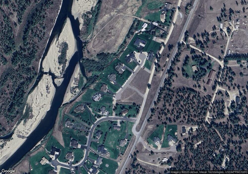
Map
Nearby Homes
- 226 Sky Pilot Ln
- 4786 Hereford Ln
- 205 Barnwood Way
- 201 Barnwood Way
- 5583 Eastside Hwy
- 1216 Rugged Ridge Rd
- 5031 Cameron Rose Ln
- 5289 Gabriels Way
- Nhn El Capitan Loop
- 4784 Cameron Rose Ln
- 4728 Northview Dr
- 516 El Capitan Loop
- 481 Dry Gulch Rd
- 571 Ridge Rd
- nhn 3 Mile Creek Rd
- 301 Gold Ct
- 5014 Eastside Hwy
- 461 Sunrider Ln
- 4927 Hoblitt Ln S
- 604 Ridge Rd