Lot 7 Ridges Subdivision Bigfork, MT 59911
Estimated Value: $1,917,000 - $2,004,482
3
Beds
3
Baths
2,943
Sq Ft
$666/Sq Ft
Est. Value
About This Home
This home is located at Lot 7 Ridges Subdivision, Bigfork, MT 59911 and is currently estimated at $1,960,741, approximately $666 per square foot. Lot 7 Ridges Subdivision is a home located in Flathead County with nearby schools including Bigfork Elementary School, Bigfork Middle School, and Bigfork High School.
Ownership History
Date
Name
Owned For
Owner Type
Purchase Details
Closed on
Nov 9, 2018
Sold by
Telford Brett W and Klein Victoria A
Bought by
Harball Charles A and Harball Claire P
Current Estimated Value
Purchase Details
Closed on
Nov 3, 2007
Sold by
Sherman Mark and Sherman Victoria
Bought by
Telford Judith A
Purchase Details
Closed on
Nov 7, 2006
Sold by
Dixon Lee J and Dixon Carlie S
Bought by
Sherman Mark and Sherman Victoria
Create a Home Valuation Report for This Property
The Home Valuation Report is an in-depth analysis detailing your home's value as well as a comparison with similar homes in the area
Home Values in the Area
Average Home Value in this Area
Purchase History
| Date | Buyer | Sale Price | Title Company |
|---|---|---|---|
| Harball Charles A | -- | Insured Titles | |
| Telford Judith A | -- | None Available | |
| Sherman Mark | -- | Alliance Title |
Source: Public Records
Tax History Compared to Growth
Tax History
| Year | Tax Paid | Tax Assessment Tax Assessment Total Assessment is a certain percentage of the fair market value that is determined by local assessors to be the total taxable value of land and additions on the property. | Land | Improvement |
|---|---|---|---|---|
| 2025 | $10,680 | $1,989,300 | $0 | $0 |
| 2024 | $7,999 | $1,433,300 | $0 | $0 |
| 2023 | $8,000 | $1,433,300 | $0 | $0 |
| 2022 | $8,655 | $1,110,700 | $0 | $0 |
| 2021 | $1,101 | $140,057 | $0 | $0 |
| 2020 | $1,071 | $130,126 | $0 | $0 |
| 2019 | $1,034 | $130,126 | $0 | $0 |
| 2018 | $1,052 | $126,576 | $0 | $0 |
| 2017 | $1,031 | $126,576 | $0 | $0 |
| 2016 | $1,399 | $176,006 | $0 | $0 |
| 2015 | $1,317 | $176,006 | $0 | $0 |
| 2014 | $1,739 | $140,971 | $0 | $0 |
Source: Public Records
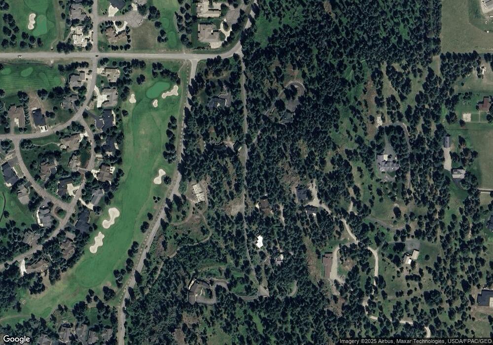
Map
Nearby Homes
- 37 Red Tail Ridge
- 344 Chapman Ln
- 1358 Ponderosa Ridge Dr
- 351 Chapman Ln
- 324 Chapman Ln
- 29 Bearpaw Loop
- 138 Jewel Basin Ct
- 34 Grizzly Ct
- 196 Pine Needle Ln
- 104 Levi Ct
- 109 Levi Ct
- 394 Windsor Ct
- 109 Colter Loop
- 149 Timothy Hay Way
- 201 Bridger Dr
- 116 Golden Bear Dr
- 112 Golden Bear Dr
- 106 Golden Bear Dr
- 200 Sportsman Ln
- 322 Hanging Rock Dr
- 23 Pine Meadows Ct
- 34 Redtail Ridge
- 45 Pine Meadows Ct
- 56 Red Tail Ridge
- 0 Red Tail Ridge Unit 293002
- 34 Red Tail Ridge
- 12 Red Tail Ridge
- 12 Redtail Ridge
- 53 Red Tail Ridge
- 58 Red Tail Ridge
- 67 Pine Meadows Ct
- 37 Redtail Ridge
- 53 Redtail Ridge
- 1567/1611 Ponderosa Ridge Dr
- 1567 Ponderosa Ridge Dr
- 78 Redtail Ridge
- 89 Pine Meadows Ct
- 800 Chapman Hill Rd
- LOT 5 Pine Lake Estates