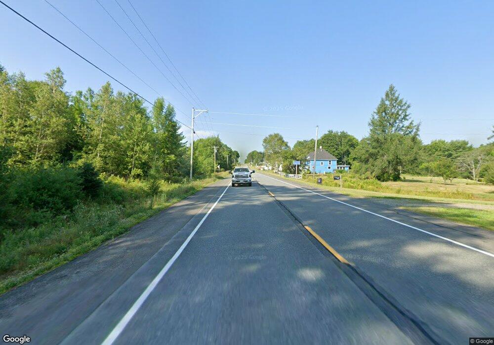
M2L51,52 Airline Rd Amherst, ME 04605
--
Bed
--
Bath
--
Sq Ft
93.5
Acres
About This Home
This home is located at M2L51,52 Airline Rd, Amherst, ME 04605. M2L51,52 Airline Rd is a home located in Hancock County with nearby schools including Airline Community School.
Create a Home Valuation Report for This Property
The Home Valuation Report is an in-depth analysis detailing your home's value as well as a comparison with similar homes in the area
Home Values in the Area
Average Home Value in this Area
Tax History Compared to Growth
Map
Nearby Homes
- 172 Tannery Loop
- 0 Tannery Loop Unit 1610443
- 122 Dana Jordan Rd
- B-2BackLot Pioneer Path
- 21 Pioneer Way
- 3306 Mariaville Rd
- TBD Trout Pond Rd
- 014-001 Tourtelotte Ridge Rd
- Map R09, Lot 12 Fox Run Dr
- 9 Outlet Cove Rd
- 1276 Airline Rd
- 5 Chick Hill Rd
- 2 S Union River Rd
- 00 Bradbury Brook Rd
- 27 Trout Brook Rd
- Lot 3-B W Branch Rd
- 942 Great Pond Rd
- 1641 Waltham Rd
- 144 Frost Mill Rd
- 13 Oxbow Dr
- M6L58-001 Airline Rd
- Lot #47 Airline Rd
- 0 Airline Rd
- 614 Airline Rd
- 606 & 612 Airline Rd
- 622 Airline Rd
- 16 Outback Way
- 590 Airline Rd
- Lot 1 N Smith Rd
- 188 Tannery Loop
- 592 Airline Rd
- 637 Airline Rd
- 638 Airline Rd
- 3843 Mariaville Rd
- Lot # 58-001
- 197 Tannery Loop
- 201 Tannery Loop
- 3848 Mariaville Rd
- 640 Airline Rd
- 3844 Mariaville Rd