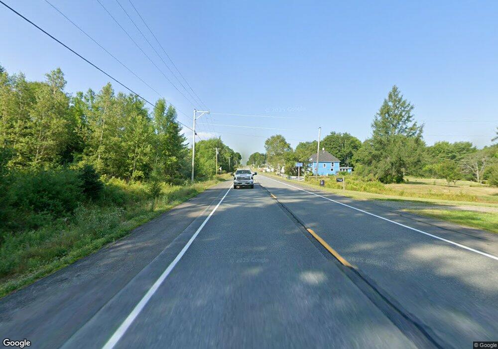
Map 2 Lots Airline Rd Amherst, ME 04605
--
Bed
--
Bath
--
Sq Ft
17.3
Acres
About This Home
This home is located at Map 2 Lots Airline Rd, Amherst, ME 04605. Map 2 Lots Airline Rd is a home located in Hancock County with nearby schools including Airline Community School.
Create a Home Valuation Report for This Property
The Home Valuation Report is an in-depth analysis detailing your home's value as well as a comparison with similar homes in the area
Home Values in the Area
Average Home Value in this Area
Tax History Compared to Growth
Map
Nearby Homes
- 0 Tannery Loop Unit 1610443
- 172 Tannery Loop
- 3306 Mariaville Rd
- 9 Outlet Cove Rd
- 1276 Airline Rd
- 122 Dana Jordan Rd
- B-2BackLot Pioneer Path
- 21 Pioneer Way
- TBD Trout Pond Rd
- 5 Chick Hill Rd
- 00 Bradbury Brook Rd
- Map R09, Lot 12 Fox Run Dr
- 014-001 Tourtelotte Ridge Rd
- 2 S Union River Rd
- 9-17 Airline Rd
- 27 Trout Brook Rd
- Lot 3-B W Branch Rd
- M2L1 Springy Pond Rd
- 12 Paradise Cove
- 144 Frost Mill Rd
- 0 State Route 9
- 361 Airline Rd
- 0 Field Rd
- 31 Field Rd
- 19 Field Rd
- 353 Airline Rd
- 353 Airline Rd
- 432 Airline Rd
- 31 Haynes Brook Ln
- 49 Field Rd
- 438 Airline Rd
- Lot 7 Sand Shed Loop
- Lot 2 Sand Shed Loop
- 335 Airline Rd
- 442 Airline Rd
- Map 1 Lot Airline Rd
- 0 Foster Rd
- 35 Macdonald Rd
- 0 Tannery Loop Rd Unit 332621
- 0 Tannery Loop Rd Unit 319303