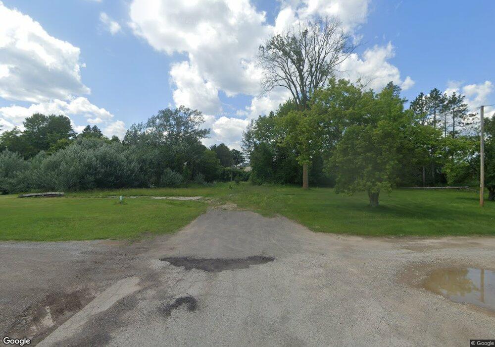
N12333 J-1 Ln Powers, MI 49874
Estimated Value: $163,420 - $212,000
--
Bed
--
Bath
1,500
Sq Ft
$128/Sq Ft
Est. Value
About This Home
This home is located at N12333 J-1 Ln, Powers, MI 49874 and is currently estimated at $191,807, approximately $127 per square foot. N12333 J-1 Ln is a home with nearby schools including Carney-Nadeau Public School.
Create a Home Valuation Report for This Property
The Home Valuation Report is an in-depth analysis detailing your home's value as well as a comparison with similar homes in the area
Home Values in the Area
Average Home Value in this Area
Tax History Compared to Growth
Tax History
| Year | Tax Paid | Tax Assessment Tax Assessment Total Assessment is a certain percentage of the fair market value that is determined by local assessors to be the total taxable value of land and additions on the property. | Land | Improvement |
|---|---|---|---|---|
| 2025 | $2,548 | $75,800 | $4,900 | $70,900 |
| 2024 | $2,400 | $70,700 | $4,900 | $65,800 |
| 2023 | $85 | $64,600 | $64,600 | $0 |
| 2022 | $85 | $64,600 | $64,600 | $0 |
| 2021 | $85 | $14,900 | $14,900 | $0 |
| 2020 | $85 | $11,700 | $0 | $0 |
| 2019 | -- | $11,800 | $0 | $0 |
| 2018 | -- | $11,200 | $11,200 | $0 |
| 2017 | -- | $11,200 | $11,200 | $0 |
| 2016 | -- | $11,000 | $0 | $0 |
| 2015 | -- | $11,000 | $0 | $0 |
| 2014 | -- | $11,300 | $11,300 | $0 |
| 2013 | $85 | $11,100 | $0 | $0 |
Source: Public Records
Map
Nearby Homes
- W4317 Oakwood Rd
- W3966 #32 Rd
- W2813 3-1 Ln
- 0 County 366 Rd Unit 50296210
- W3711 Co 380 Rd
- N10605 I- 3 Rd
- N102999 State Highway 41 Hwy
- W1053 County Road 374
- N9615 Badish Rd
- 0 Badish Rd
- 37 AC Hunter Lake Rd E
- TBD M35
- 0 Detemple Rd
- N9264 U S 41
- 0 Vega Road O 1
- N10504 Cheese Factory Rd
- W7507 G 18 Rd
- 3930 E East Rd Rd
- N9035 Gustafson Rd
- W3657 Greenwood Ave
