N13404 Pheasant Ln Fairchild, WI 54741
Estimated Value: $135,000 - $233,000
Studio
--
Bath
--
Sq Ft
0.35
Acres Lot
About This Home
This home is located at N13404 Pheasant Ln, Fairchild, WI 54741 and is currently estimated at $168,726. N13404 Pheasant Ln is a home located in Jackson County with nearby schools including Osseo-Fairchild Elementary School, Osseo-Fairchild Middle School, and Osseo-Fairchild High School.
Ownership History
Date
Name
Owned For
Owner Type
Purchase Details
Closed on
Jun 22, 2010
Sold by
Davis Connie J and Hendricks Allen C
Bought by
Erdman Michael D
Current Estimated Value
Home Financials for this Owner
Home Financials are based on the most recent Mortgage that was taken out on this home.
Original Mortgage
$63,900
Outstanding Balance
$19,980
Interest Rate
4.97%
Mortgage Type
New Conventional
Estimated Equity
$148,746
Purchase Details
Closed on
Mar 8, 2007
Sold by
Bailey Patricia A
Bought by
Davis Connie J and Hendricks Allen C
Create a Home Valuation Report for This Property
The Home Valuation Report is an in-depth analysis detailing your home's value as well as a comparison with similar homes in the area
Purchase History
We collect this data history from publicly available records. To have your information removed, we recommend requesting removal directly through your county’s website.
| Date | Buyer | Sale Price | Title Company |
|---|---|---|---|
| Erdman Michael D | $71,000 | None Available | |
| Davis Connie J | -- | None Available |
Source: Public Records
Mortgage History
We collect this data history from publicly available records. To have your information removed, we recommend requesting removal directly through your county’s website.
| Date | Status | Borrower | Loan Amount |
|---|---|---|---|
| Open | Erdman Michael D | $63,900 |
Source: Public Records
Tax History
| Year | Tax Paid | Tax Assessment Tax Assessment Total Assessment is a certain percentage of the fair market value that is determined by local assessors to be the total taxable value of land and additions on the property. | Land | Improvement |
|---|---|---|---|---|
| 2025 | $1,480 | $99,900 | $6,300 | $93,600 |
| 2024 | $1,363 | $99,900 | $6,300 | $93,600 |
| 2023 | $1,241 | $99,900 | $6,300 | $93,600 |
| 2022 | $1,294 | $99,900 | $6,300 | $93,600 |
| 2021 | $1,168 | $67,700 | $3,500 | $64,200 |
| 2020 | $1,176 | $67,700 | $3,500 | $64,200 |
| 2019 | $1,138 | $67,700 | $3,500 | $64,200 |
| 2018 | $1,157 | $67,700 | $3,500 | $64,200 |
| 2017 | $1,260 | $67,700 | $3,500 | $64,200 |
| 2016 | $1,215 | $67,700 | $3,500 | $64,200 |
| 2015 | $1,615 | $67,700 | $3,500 | $64,200 |
| 2013 | $1,260 | $67,700 | $3,500 | $64,200 |
Source: Public Records
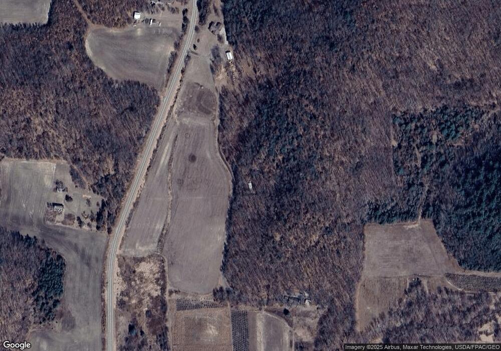
Map
Nearby Homes
- N12940 County Road T
- W14755 Old Highway 10
- W14702 Old Highway 10
- W15501 US Highway 10
- 13942 W County Road B
- N12757 Rindahl Valley Rd
- 00 Town Hall Rd
- Tbd Crossover Rd
- Tbd Hwy 12 27
- TBD State Highway 12 27
- 204 Camp Rd Unit 17
- 644 E Main St
- TBD N Center Rd
- W12882 E Fees Rd
- 12135 Norway Rd
- 12133 Norway Rd
- 51116 Oak Ridge Rd
- 00 Maplewood Ln
- N10685 Lincoln Rd
- 13350 Ball Park Rd
- N13364 Pheasant Ln
- N13458 Pheasant Ln
- N13477 County Road T
- W14917 E Hillcrest Rd
- N13499 County Road T
- W14960 E Hillcrest Rd
- W14996 E Hillcrest Rd
- W15008 E Hillcrest Rd
- N13630 County Road T
- N13652 County Road T
- N13177 County Road T
- W14801 Sumach Rd
- W14850 Scotch Pine Rd
- 14850 Scotch Pine Rd
- W14735 Crave Rd
- W14824 Scotch Pine Rd
- W14849 Scotch Pine Rd
- W15231 E Hillcrest Rd
- N13605 Crave Rd
- N13466 County Road T
Your Personal Tour Guide
Ask me questions while you tour the home.