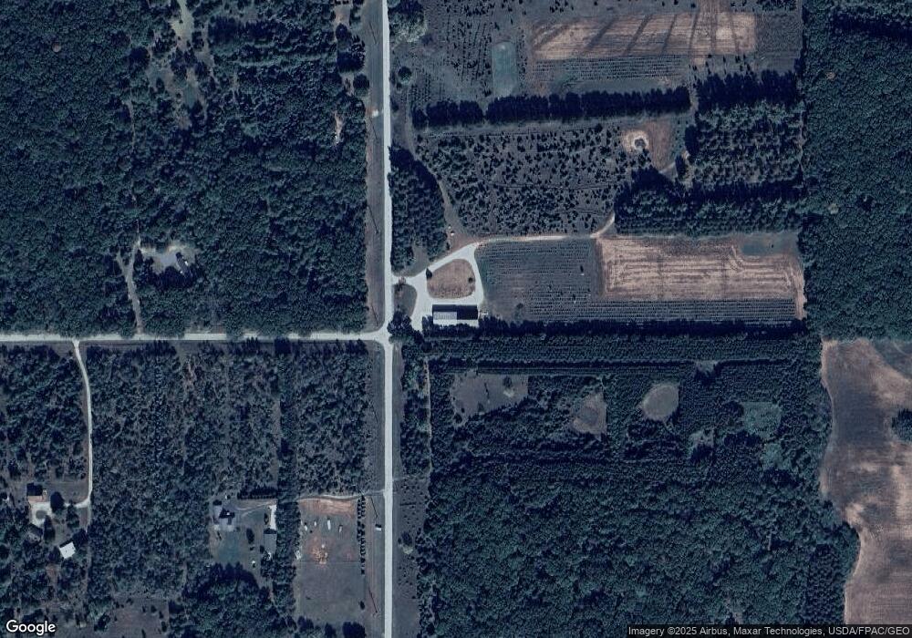
N2500 6th Ave Hancock, WI 54943
Estimated Value: $167,000 - $429,000
--
Bed
--
Bath
--
Sq Ft
39.1
Acres
About This Home
This home is located at N2500 6th Ave, Hancock, WI 54943 and is currently estimated at $325,005. N2500 6th Ave is a home located in Waushara County with nearby schools including Westfield Area High School.
Ownership History
Date
Name
Owned For
Owner Type
Purchase Details
Closed on
Aug 30, 2013
Sold by
Bancroft State Bank
Bought by
Bovee John R
Current Estimated Value
Home Financials for this Owner
Home Financials are based on the most recent Mortgage that was taken out on this home.
Original Mortgage
$120,000
Outstanding Balance
$89,157
Interest Rate
4.29%
Estimated Equity
$235,848
Purchase Details
Closed on
Apr 24, 2013
Sold by
Tate William A and Tate Lindsay K
Bought by
Bancroft State Bank
Purchase Details
Closed on
Sep 26, 2006
Sold by
Tate Jody D
Bought by
Tate William A
Create a Home Valuation Report for This Property
The Home Valuation Report is an in-depth analysis detailing your home's value as well as a comparison with similar homes in the area
Home Values in the Area
Average Home Value in this Area
Purchase History
| Date | Buyer | Sale Price | Title Company |
|---|---|---|---|
| Bovee John R | -- | -- | |
| Bancroft State Bank | -- | Waushara Abstract Corp | |
| Tate William A | $260,100 | -- |
Source: Public Records
Mortgage History
| Date | Status | Borrower | Loan Amount |
|---|---|---|---|
| Open | Bovee John R | $120,000 | |
| Closed | Tate William A | $0 |
Source: Public Records
Tax History Compared to Growth
Tax History
| Year | Tax Paid | Tax Assessment Tax Assessment Total Assessment is a certain percentage of the fair market value that is determined by local assessors to be the total taxable value of land and additions on the property. | Land | Improvement |
|---|---|---|---|---|
| 2024 | $1,262 | $87,900 | $19,700 | $68,200 |
| 2023 | $1,219 | $87,500 | $19,300 | $68,200 |
| 2022 | $1,000 | $63,200 | $14,500 | $48,700 |
| 2021 | $955 | $63,100 | $14,400 | $48,700 |
| 2020 | $928 | $63,000 | $14,300 | $48,700 |
| 2019 | $943 | $63,100 | $14,400 | $48,700 |
| 2018 | $1,101 | $71,600 | $14,900 | $56,700 |
| 2017 | $1,067 | $71,500 | $14,800 | $56,700 |
| 2016 | $1,121 | $71,500 | $14,800 | $56,700 |
| 2015 | $780 | $47,500 | $9,900 | $37,600 |
| 2014 | -- | $47,400 | $9,800 | $37,600 |
| 2013 | -- | $47,600 | $10,000 | $37,600 |
Source: Public Records
Map
Nearby Homes
- 0 Cottonville Ct
- W12099 Cottonville Ct
- 0 County Road Gg
- W12203 Cottonville Ave
- 626 Semrow Rd
- 329 E Follett Dr
- 0 Ff Rd Unit 50313147
- 0 Ff Rd Unit 50313144
- W12149 Wisconsin 21
- 6.63 Acres 4th Ave
- N2784 9th Ave
- N3379 County Road V
- N1408 3rd Ln Unit PV
- Lot 29 Fawn Ln
- 0 Fawn Ln Unit 50308369
- N1143 County Road Ch
- W12114 Greenwood Rd
- 0 Brown Deer Ct
- 0 Chicago Ave Unit 2006349
- 49.79 AC Forest Dr
- N2500 6th Ave
- Lot 2 6th Ave
- N2461 6th Ave
- w 12562 Chicago Ave
- N2589 6th Ave
- N2411 6th Ave
- W12470 Chicago Rd
- W12577 Chicago Ave
- W12577 Chicago Ave
- 0 6th Ave Unit 50107472
- N2363 6th Ave
- N2336 6th Ave
- N2347 6th Ave
- W12551 Chicago Ave
- N2661 6th Ave
- N2661 6th Ave
- N2661 6th Ave
- 2661 6th Ave
- W12379 Buttercup Dr
