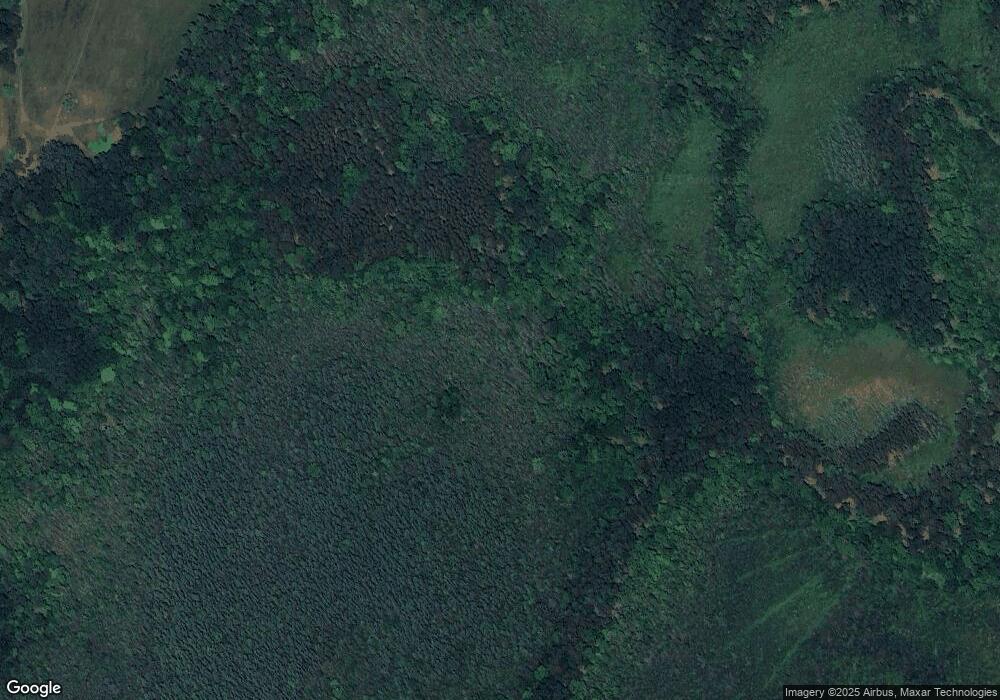
N2600 T 1 Dr Wallace, MI 49893
Estimated Value: $64,661 - $231,000
--
Bed
--
Bath
864
Sq Ft
$152/Sq Ft
Est. Value
About This Home
This home is located at N2600 T 1 Dr, Wallace, MI 49893 and is currently estimated at $131,665, approximately $152 per square foot. N2600 T 1 Dr is a home with nearby schools including Central Elementary School, Blesch Intermediate School, and Menominee High School.
Ownership History
Date
Name
Owned For
Owner Type
Purchase Details
Closed on
May 28, 2021
Sold by
Philibeck Melissa A
Bought by
Mellon Brandon L
Current Estimated Value
Purchase Details
Closed on
Feb 28, 2018
Sold by
Brian Havelka
Bought by
Philibeck Melissa A
Purchase Details
Closed on
Mar 26, 2013
Sold by
Havelka Brian and Havelka Glen
Bought by
Havelka Brian and Havelka Glen
Purchase Details
Closed on
Sep 2, 2005
Sold by
Doran Timothy and Doran Paula
Bought by
Havelka Brian and Havelka Glen
Purchase Details
Closed on
Sep 1, 2005
Purchase Details
Closed on
Oct 21, 1996
Sold by
Stuparitz Joseph and Stuparitz Edward
Bought by
Gokey Jame and Gokey Cynthia
Create a Home Valuation Report for This Property
The Home Valuation Report is an in-depth analysis detailing your home's value as well as a comparison with similar homes in the area
Home Values in the Area
Average Home Value in this Area
Purchase History
| Date | Buyer | Sale Price | Title Company |
|---|---|---|---|
| Mellon Brandon L | $105,000 | -- | |
| Philibeck Melissa A | $50,000 | -- | |
| Havelka Brian | -- | -- | |
| Havelka Brian | $18,000 | -- | |
| -- | $18,000 | -- | |
| Gokey Jame | $60,000 | -- |
Source: Public Records
Tax History Compared to Growth
Tax History
| Year | Tax Paid | Tax Assessment Tax Assessment Total Assessment is a certain percentage of the fair market value that is determined by local assessors to be the total taxable value of land and additions on the property. | Land | Improvement |
|---|---|---|---|---|
| 2025 | $637 | $30,400 | $3,900 | $26,500 |
| 2024 | $601 | $21,400 | $3,500 | $17,900 |
| 2023 | $131 | $17,300 | $17,300 | $0 |
| 2022 | $131 | $17,300 | $17,300 | $0 |
| 2021 | $131 | $14,000 | $2,400 | $11,600 |
| 2020 | $131 | $14,100 | $0 | $0 |
| 2019 | -- | $15,500 | $0 | $0 |
| 2018 | -- | $14,400 | $14,400 | $0 |
| 2017 | -- | $13,600 | $13,600 | $0 |
| 2016 | -- | $13,300 | $0 | $0 |
| 2015 | -- | $13,300 | $0 | $0 |
| 2014 | -- | $12,500 | $12,500 | $0 |
| 2013 | $131 | $13,100 | $0 | $0 |
Source: Public Records
Map
Nearby Homes
- N7330 Shady Lane Dr
- N6568 State Highway 180
- 0 State Hwy 180 Unit 50254736
- 0 State Hwy 180 Unit 50254740
- 0 State Hwy 180 Unit 50254737
- N6307 Old Highway C
- N7775 Rastall Rd
- 5 O4 Ln
- 0 Hwy 180 Unit 50254733
- 0 Sobieski 8 Rd
- N1476 River Dr
- W6496 Number 7 Ln
- N1337 River Dr
- W6939 3 5 Rd
- N5149 State Highway 180
- 0 Nettleton Rd Unit 50301985
- 0 Nettleton Rd Unit 50310614
- W2291 Nettleton Rd
- 0 2 5 Rd
- N8968 S Park Dr
