N264 Whispering Pines Loop Conrath, WI 54731
Estimated Value: $291,000 - $362,000
Studio
--
Bath
--
Sq Ft
0.56
Acres
About This Home
This home is located at N264 Whispering Pines Loop, Conrath, WI 54731 and is currently estimated at $330,098. N264 Whispering Pines Loop is a home located in Rusk County with nearby schools including Holcombe Elementary School and Holcombe High School.
Ownership History
Date
Name
Owned For
Owner Type
Purchase Details
Closed on
Sep 25, 2017
Sold by
Ryon Ronald R and Ryan Annamarie L
Bought by
Russo Nick P and Russo Anthony J
Current Estimated Value
Home Financials for this Owner
Home Financials are based on the most recent Mortgage that was taken out on this home.
Original Mortgage
$56,950
Outstanding Balance
$47,086
Interest Rate
3.89%
Mortgage Type
New Conventional
Estimated Equity
$283,012
Purchase Details
Closed on
Jun 13, 2017
Sold by
Ryan Annamarie L and Russo Annamarie L
Bought by
Ryan Ronald R and Ryan Annamarie L
Create a Home Valuation Report for This Property
The Home Valuation Report is an in-depth analysis detailing your home's value as well as a comparison with similar homes in the area
Purchase History
| Date | Buyer | Sale Price | Title Company |
|---|---|---|---|
| Russo Nick P | $30,000 | -- | |
| Ryan Ronald R | -- | None Available |
Source: Public Records
Mortgage History
| Date | Status | Borrower | Loan Amount |
|---|---|---|---|
| Open | Russo Nick P | $56,950 |
Source: Public Records
Tax History
| Year | Tax Paid | Tax Assessment Tax Assessment Total Assessment is a certain percentage of the fair market value that is determined by local assessors to be the total taxable value of land and additions on the property. | Land | Improvement |
|---|---|---|---|---|
| 2025 | $2,994 | $238,800 | $172,700 | $66,100 |
| 2024 | $2,822 | $238,800 | $172,700 | $66,100 |
| 2023 | $2,688 | $238,800 | $172,700 | $66,100 |
| 2022 | $2,305 | $123,700 | $89,000 | $34,700 |
| 2021 | $2,261 | $123,700 | $89,000 | $34,700 |
| 2020 | $2,250 | $123,700 | $89,000 | $34,700 |
| 2019 | $2,297 | $123,700 | $89,000 | $34,700 |
| 2018 | $2,241 | $123,700 | $89,000 | $34,700 |
| 2017 | $2,204 | $123,700 | $89,000 | $34,700 |
| 2016 | $2,172 | $123,700 | $89,000 | $34,700 |
| 2015 | $2,449 | $123,700 | $89,000 | $34,700 |
| 2014 | $2,044 | $123,700 | $89,000 | $34,700 |
| 2013 | $2,160 | $123,700 | $89,000 | $34,700 |
Source: Public Records
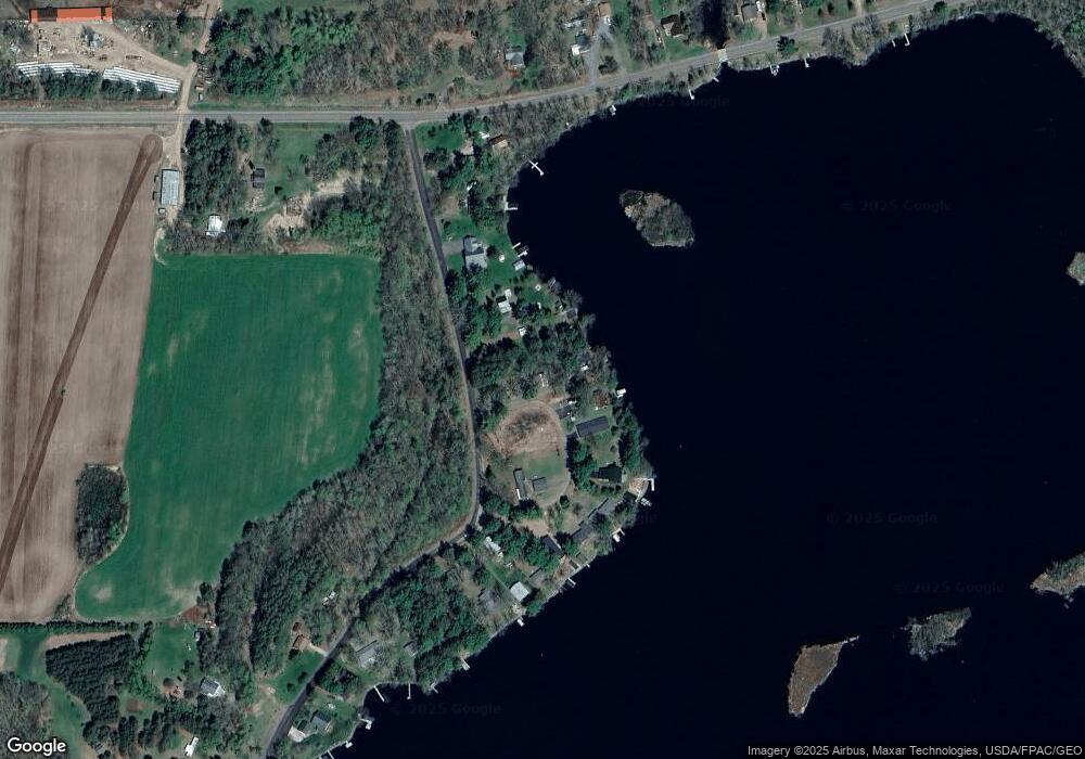
Map
Nearby Homes
- 30488 292nd St
- Lot 4 297th Ave
- 27269 305th Ave
- 28034 295th Ave
- 27735 295th Ave
- Lot 7, 1.83 +/- Acre 295th Ave
- W9346 Woodlawn Dr
- W9514 Stansbury Rd
- 9620 County Road D
- N1866 Rangeline Rd
- 00 310th Ave
- TBD Homestead Rd
- W74TBD Homestead Rd
- 27320 256th St
- 27185 250th St
- 27183 250th St Unit 27185
- 27175 250th St
- N2639 Vine St
- 29099 County Road Vv
- W10765 County Road D
- N268 Whispering Pines Dr
- N260 Whispering Pines Dr
- N270 Whispering Pines Dr
- N256 Whispering Pines Dr
- 256 Whispering Pines Dr
- N239 Whispering Pines Loop
- N278 Whispering Pines Dr
- N250 Whispering Pines Dr
- N246 Whispering Pines Dr
- N244 Whispering Pines Loop
- N234 Whispering Pines Dr
- N238 Whispering Pines Dr
- N284 Whispering Pines Dr
- N230 Whispering Pines Dr
- N226 Whispering Pines Dr
- N294 Whispering Pines Dr
- N218 Whispering Pines Dr
- 260 Whispering Pines Dr
- N204 Whispering Pines Dr
- W8010 County Road I
Your Personal Tour Guide
Ask me questions while you tour the home.