N3572 Katie Ln Montello, WI 53949
Estimated Value: $399,125 - $476,000
--
Bed
--
Bath
--
Sq Ft
0.81
Acres
About This Home
This home is located at N3572 Katie Ln, Montello, WI 53949 and is currently estimated at $447,375. N3572 Katie Ln is a home located in Marquette County with nearby schools including Forest Lane Community School and Montello Junior/Senior High School.
Ownership History
Date
Name
Owned For
Owner Type
Purchase Details
Closed on
May 23, 2023
Sold by
The Riley W Fulmer And Catherine F Ful
Bought by
Fulmer Laura A
Current Estimated Value
Purchase Details
Closed on
Apr 15, 2015
Sold by
Fulmer Riley W
Bought by
The Riley W Fulmer & Catherine F Fulmer
Purchase Details
Closed on
Oct 28, 2006
Sold by
Schoeneck Roy F and Schoeneck Heidi L
Bought by
Fulmer Riley W and Fulmer Catherine F
Create a Home Valuation Report for This Property
The Home Valuation Report is an in-depth analysis detailing your home's value as well as a comparison with similar homes in the area
Home Values in the Area
Average Home Value in this Area
Purchase History
| Date | Buyer | Sale Price | Title Company |
|---|---|---|---|
| Fulmer Laura A | $249,600 | Erik H. Guttormsen | |
| The Riley W Fulmer & Catherine F Fulmer | -- | -- | |
| Fulmer Riley W | $52,500 | -- |
Source: Public Records
Mortgage History
| Date | Status | Borrower | Loan Amount |
|---|---|---|---|
| Closed | Fulmer Riley W | $0 |
Source: Public Records
Tax History Compared to Growth
Tax History
| Year | Tax Paid | Tax Assessment Tax Assessment Total Assessment is a certain percentage of the fair market value that is determined by local assessors to be the total taxable value of land and additions on the property. | Land | Improvement |
|---|---|---|---|---|
| 2024 | $4,548 | $249,600 | $46,000 | $203,600 |
| 2023 | $4,314 | $249,600 | $46,000 | $203,600 |
| 2022 | $3,985 | $249,600 | $46,000 | $203,600 |
| 2021 | $3,829 | $249,600 | $46,000 | $203,600 |
| 2020 | $4,220 | $249,600 | $46,000 | $203,600 |
| 2019 | $4,320 | $249,600 | $46,000 | $203,600 |
| 2018 | $4,478 | $249,600 | $46,000 | $203,600 |
| 2017 | $4,483 | $249,600 | $46,000 | $203,600 |
| 2016 | $4,559 | $249,600 | $46,000 | $203,600 |
| 2015 | $477,036 | $249,600 | $46,000 | $203,600 |
| 2014 | -- | $249,600 | $46,000 | $203,600 |
| 2013 | -- | $249,600 | $46,000 | $203,600 |
| 2012 | -- | $267,500 | $46,000 | $221,500 |
Source: Public Records
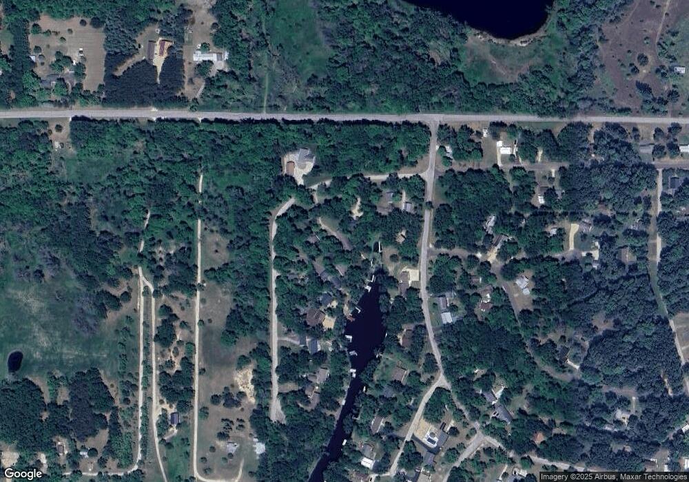
Map
Nearby Homes
- 0 Moccasin Trail
- W505 Huron Bay Dr
- N3571 E Tomahawk Trail
- N3531 Blue Gill Dr
- N3546 Myra Ln
- N3540 Myra Ln
- W913 W North Shore Dr
- W1010 Laurie Ln
- W6220 Lakeview Dr N
- W6260 Lakeview Dr N
- N3190 Oak Rd
- 111 Acres
- L17 Oak Rd
- L18 Oak Rd
- L14 Oak Rd
- L16 Oak Rd
- 320 W 2nd St
- W6726 Puckaway Rd
- 0.58 Ac 4th St
- W6191 Lueck Ln
- N3560 Katie Ln
- N3576 Katie Ln
- N3556 Katie Ln
- N3584 Katie Ln
- N3582 Katie Ln
- N3550 Katie Ln
- Lot 14 Katie Ln
- N3551 W Tomahawk Trail
- L15 N Katie Ln
- N3542 Katie Ln
- N3551 Katie Ln
- W443 Chippewa Pass
- 0 Katie Ln Unit 1558385
- L2 Katie Ln
- L14 Katie Ln
- 0 Katie Ln Unit 50057018
- N3534 Katie Ln
- N3531 W Tomahawk Trail
- N3544 W Tomahawk Trail
- L28-L30 W Tomahawk Tr