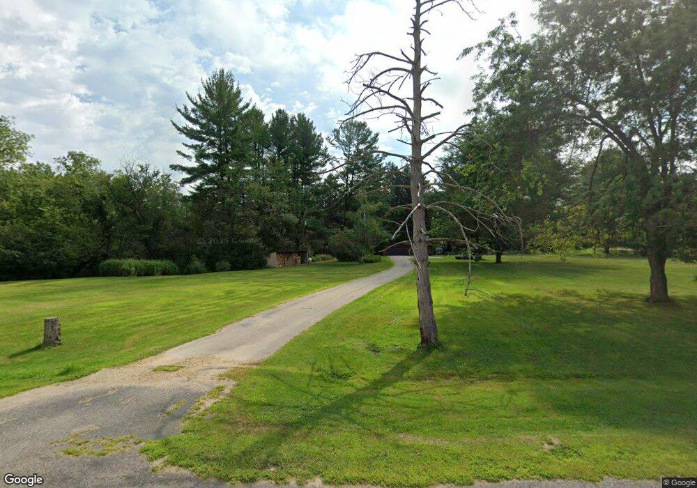
N3622 Elm Dr Stoddard, WI 54658
Estimated Value: $389,000 - $477,035
--
Bed
--
Bath
--
Sq Ft
8.5
Acres
About This Home
This home is located at N3622 Elm Dr, Stoddard, WI 54658 and is currently estimated at $439,009. N3622 Elm Dr is a home located in Vernon County with nearby schools including Southern Bluffs Elementary School, Longfellow Middle School, and Central High School.
Ownership History
Date
Name
Owned For
Owner Type
Purchase Details
Closed on
Nov 30, 2007
Sold by
Bryant Gary L and Bryant Loraine L
Bought by
Baldwin Todd and Baldwin Lois
Current Estimated Value
Home Financials for this Owner
Home Financials are based on the most recent Mortgage that was taken out on this home.
Original Mortgage
$187,200
Outstanding Balance
$119,527
Interest Rate
6.47%
Mortgage Type
New Conventional
Estimated Equity
$319,482
Create a Home Valuation Report for This Property
The Home Valuation Report is an in-depth analysis detailing your home's value as well as a comparison with similar homes in the area
Home Values in the Area
Average Home Value in this Area
Purchase History
| Date | Buyer | Sale Price | Title Company |
|---|---|---|---|
| Baldwin Todd | $234,000 | -- |
Source: Public Records
Mortgage History
| Date | Status | Borrower | Loan Amount |
|---|---|---|---|
| Open | Baldwin Todd | $187,200 |
Source: Public Records
Tax History Compared to Growth
Tax History
| Year | Tax Paid | Tax Assessment Tax Assessment Total Assessment is a certain percentage of the fair market value that is determined by local assessors to be the total taxable value of land and additions on the property. | Land | Improvement |
|---|---|---|---|---|
| 2024 | $4,364 | $233,200 | $52,000 | $181,200 |
| 2023 | $3,891 | $233,200 | $52,000 | $181,200 |
| 2022 | $3,587 | $233,200 | $52,000 | $181,200 |
| 2021 | $3,930 | $233,200 | $52,000 | $181,200 |
| 2020 | $3,811 | $233,200 | $52,000 | $181,200 |
| 2019 | $3,995 | $197,900 | $33,700 | $164,200 |
| 2018 | $3,905 | $197,900 | $33,700 | $164,200 |
| 2017 | $4,159 | $197,900 | $33,700 | $164,200 |
| 2016 | $4,354 | $197,900 | $33,700 | $164,200 |
| 2015 | $4,999 | $197,900 | $33,700 | $164,200 |
| 2014 | $4,208 | $197,900 | $33,700 | $164,200 |
| 2013 | $4,050 | $197,900 | $33,700 | $164,200 |
Source: Public Records
Map
Nearby Homes
- W842 County Road K
- W1080 Mohawk Valley Rd
- 78 Chipmunk Ridge Rd
- 5917 River Run Rd
- 5615 Meir Ct
- 5221 33rd St S
- N1110 Bloomer Mill Rd
- 4800 33rd St S
- W4934 Mill St
- W4945 Harvest Ln
- 0000 Korthals Ln
- 3532 Levy Ln
- 2956 S Marion Rd
- 3010 N Marion Rd
- 2919 Robin Hood Dr
- 000 Us Highway 14 61 -
- 0000 Mormon Coulee Rd
- 3013 Lakota Place
- 2729 Oak Dr
- N1394 Red Oaks Dr