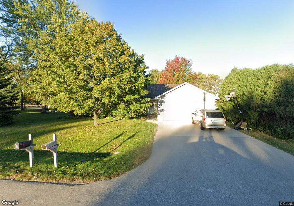
N369 Carols Ln Appleton, WI 54915
Estimated Value: $370,000 - $460,000
Studio
--
Bath
--
Sq Ft
13,504
Sq Ft Lot
About This Home
This home is located at N369 Carols Ln, Appleton, WI 54915 and is currently estimated at $412,786. N369 Carols Ln is a home with nearby schools including Westside Elementary School, J.R. Gerritts Middle School, and Mapleview Intermediate School.
Ownership History
Date
Name
Owned For
Owner Type
Purchase Details
Closed on
Oct 28, 2022
Sold by
Kline Timothy F
Bought by
Frank Andrew I and Frank Marie J
Current Estimated Value
Home Financials for this Owner
Home Financials are based on the most recent Mortgage that was taken out on this home.
Original Mortgage
$243,750
Outstanding Balance
$236,150
Interest Rate
6.92%
Mortgage Type
New Conventional
Estimated Equity
$176,636
Create a Home Valuation Report for This Property
The Home Valuation Report is an in-depth analysis detailing your home's value as well as a comparison with similar homes in the area
Home Values in the Area
Average Home Value in this Area
Purchase History
| Date | Buyer | Sale Price | Title Company |
|---|---|---|---|
| Frank Andrew I | $325,000 | Guaranty Title Services Inc |
Source: Public Records
Mortgage History
| Date | Status | Borrower | Loan Amount |
|---|---|---|---|
| Open | Frank Andrew I | $243,750 |
Source: Public Records
Tax History
| Year | Tax Paid | Tax Assessment Tax Assessment Total Assessment is a certain percentage of the fair market value that is determined by local assessors to be the total taxable value of land and additions on the property. | Land | Improvement |
|---|---|---|---|---|
| 2023 | $4,133 | $350,000 | $39,700 | $310,300 |
| 2022 | $4,411 | $353,000 | $42,700 | $310,300 |
| 2021 | $4,611 | $317,100 | $32,700 | $284,400 |
| 2020 | $4,722 | $288,700 | $32,700 | $256,000 |
| 2019 | $4,329 | $258,500 | $32,700 | $225,800 |
| 2018 | $4,000 | $237,800 | $32,700 | $205,100 |
| 2017 | $4,013 | $225,500 | $36,200 | $189,300 |
| 2016 | $4,250 | $225,500 | $36,200 | $189,300 |
| 2015 | $4,163 | $225,500 | $36,200 | $189,300 |
| 2014 | $4,243 | $225,500 | $36,200 | $189,300 |
| 2013 | $4,231 | $225,500 | $36,200 | $189,300 |
Source: Public Records
Map
Nearby Homes
- W3127 Glenbrooke Ct
- N262 Eastowne Ln
- 500 S Kensington Dr
- 3108 E Rail Rd
- 1601 S Sundown Ln
- 607 Homestead Trail
- 344 S Karlyn St
- N9254 Homestead Ln
- 708 N Fernmeadow Dr
- 814 Lang Way
- 417 W 3rd St
- 1035 E Kimberly Ave
- 533 N Canterbury Dr
- W6082 Hearthstone Dr
- 31 N Linden Ln
- 818 Rundquist Way
- 527 Applewood Dr
- 1017 N Bay Ridge Rd
- W5981 Woodsedge Ct
- N9639 Crystal Ct
- N379 Carols Ln
- W3232 Creekview Ln
- W3206 Creekview Ln
- N368 Carols Ln
- W3225 Creekview Ln
- W3205 Creekview Ln
- W3259 Heartland Ct
- W3256 Heartland Ct
- W3190 Creekview Ln
- W3197 Creekview Ln
- W3260 Heartland Ct
- W3265 Heartland Ct
- W3186 Creekview Ln
- W3268 Creekview Ln
- W3187 Creekview Ln
- W3198 Westowne Ct
- W3196 Westowne Ct
- W3173 Cornell Ct
- W3204 Westowne Ct
- W3264 Heartland Ct
Your Personal Tour Guide
Ask me questions while you tour the home.