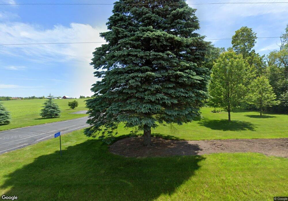
N3913 N Valley Rd Plymouth, WI 53073
Estimated Value: $396,889 - $720,000
--
Bed
--
Bath
--
Sq Ft
2.49
Acres
About This Home
This home is located at N3913 N Valley Rd, Plymouth, WI 53073 and is currently estimated at $499,972. N3913 N Valley Rd is a home located in Sheboygan County with nearby schools including Plymouth High School.
Ownership History
Date
Name
Owned For
Owner Type
Purchase Details
Closed on
Apr 9, 2020
Sold by
Marguerite M Fuller Distributing Trust
Bought by
Pezewski Dean K and Ellis Mary E
Current Estimated Value
Home Financials for this Owner
Home Financials are based on the most recent Mortgage that was taken out on this home.
Original Mortgage
$120,000
Outstanding Balance
$105,900
Interest Rate
3.2%
Mortgage Type
New Conventional
Estimated Equity
$394,072
Create a Home Valuation Report for This Property
The Home Valuation Report is an in-depth analysis detailing your home's value as well as a comparison with similar homes in the area
Home Values in the Area
Average Home Value in this Area
Purchase History
| Date | Buyer | Sale Price | Title Company |
|---|---|---|---|
| Pezewski Dean K | $240,000 | Andrews & Wirtz Law Office Llc |
Source: Public Records
Mortgage History
| Date | Status | Borrower | Loan Amount |
|---|---|---|---|
| Open | Pezewski Dean K | $120,000 |
Source: Public Records
Tax History Compared to Growth
Tax History
| Year | Tax Paid | Tax Assessment Tax Assessment Total Assessment is a certain percentage of the fair market value that is determined by local assessors to be the total taxable value of land and additions on the property. | Land | Improvement |
|---|---|---|---|---|
| 2024 | $3,817 | $311,800 | $44,100 | $267,700 |
| 2023 | $3,808 | $311,800 | $44,100 | $267,700 |
| 2022 | $2,764 | $173,000 | $30,600 | $142,400 |
| 2021 | $2,811 | $173,000 | $30,600 | $142,400 |
| 2020 | $2,485 | $154,700 | $30,600 | $124,100 |
| 2019 | $2,483 | $154,800 | $30,700 | $124,100 |
| 2018 | $2,394 | $154,700 | $30,600 | $124,100 |
| 2017 | $2,256 | $154,700 | $30,600 | $124,100 |
| 2016 | $2,223 | $154,800 | $30,700 | $124,100 |
| 2015 | $2,327 | $154,700 | $30,600 | $124,100 |
| 2014 | $2,271 | $154,800 | $30,700 | $124,100 |
Source: Public Records
Map
Nearby Homes
- W7435 County Road V
- W7571 County Rd N
- 612 Lake St
- 617 Lake St
- 543 Clark St
- Lt0 Clark St
- 627 Bobolink Ln
- Lt9 Bobolink Ln
- Lt0 County Road A W -
- W8518 County Road F
- Lt0 County Rd N
- W138 North St
- Lt54 Upper Greystone Dr
- Lt55 Upper Greystone Dr
- Lt53 Upper Greystone Dr
- Lt61 Upper Greystone Dr
- Elizabeth Plan at Greystone Settlement
- Springfield Plan at Greystone Settlement
- Simen Plan at Greystone Settlement
- Montrose Manor II Plan at Greystone Settlement
- N3897 N Valley Rd
- N3887 N Valley Rd
- N3896 County Rd S
- N3806 County Rd S
- N3871 County Rd S
- N4018 N Valley Rd
- W7509 County Rd N
- N4024 N Valley Rd
- W7503 County Rd N
- N4050 County Rd S
- N4080 County Rd S
- N3788 N Valley Rd
- W7347 County Rd N
- N3774 N Valley Rd
- W7325 County Rd N
- W7309 County Rd N
- W7389 County Road V
- W7382 County Road V
- W7392 County Road V
- W7370 County Road V
