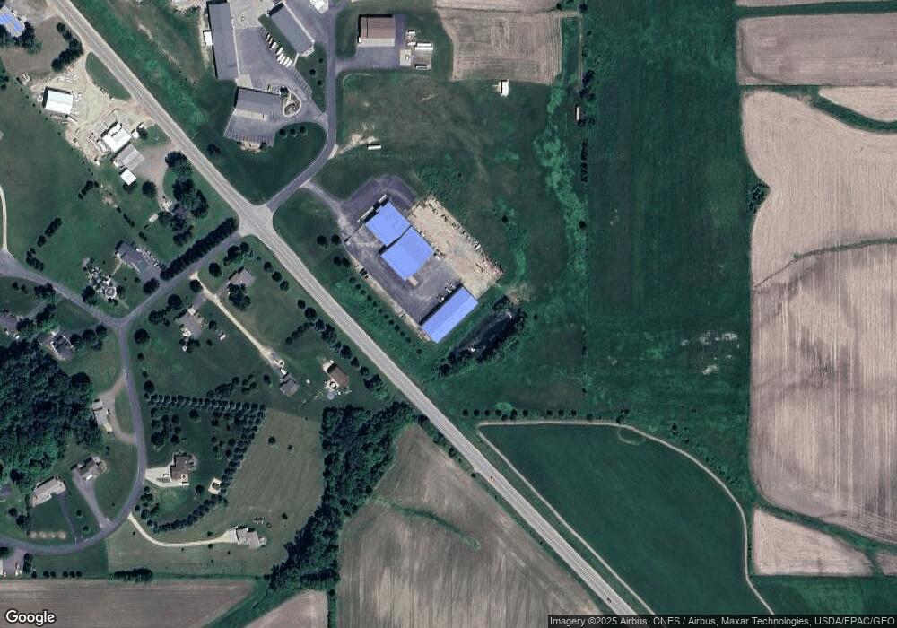
N5192 635th St Ellsworth, WI 54011
Estimated Value: $1,531,146
Studio
--
Bath
--
Sq Ft
382,370
Sq Ft Lot
About This Home
This home is located at N5192 635th St, Ellsworth, WI 54011 and is currently estimated at $1,531,146. N5192 635th St is a home located in Pierce County with nearby schools including Ellsworth High School.
Ownership History
Date
Name
Owned For
Owner Type
Purchase Details
Closed on
Mar 22, 2019
Sold by
Fullerton Llc
Bought by
H & H Land Co
Current Estimated Value
Home Financials for this Owner
Home Financials are based on the most recent Mortgage that was taken out on this home.
Original Mortgage
$483,500
Outstanding Balance
$420,704
Interest Rate
4.3%
Mortgage Type
New Conventional
Estimated Equity
$1,110,442
Purchase Details
Closed on
Feb 9, 2007
Sold by
Fullerton Lumber Co
Bought by
Fullerton Llc
Create a Home Valuation Report for This Property
The Home Valuation Report is an in-depth analysis detailing your home's value as well as a comparison with similar homes in the area
Home Values in the Area
Average Home Value in this Area
Purchase History
| Date | Buyer | Sale Price | Title Company |
|---|---|---|---|
| H & H Land Co | $950,000 | None Available | |
| Fullerton Llc | -- | None Available |
Source: Public Records
Mortgage History
| Date | Status | Borrower | Loan Amount |
|---|---|---|---|
| Open | H & H Land Co | $483,500 |
Source: Public Records
Tax History
| Year | Tax Paid | Tax Assessment Tax Assessment Total Assessment is a certain percentage of the fair market value that is determined by local assessors to be the total taxable value of land and additions on the property. | Land | Improvement |
|---|---|---|---|---|
| 2025 | $18,639 | $1,017,400 | $47,000 | $970,400 |
| 2024 | $18,306 | $1,017,400 | $47,000 | $970,400 |
| 2023 | $16,660 | $1,017,400 | $47,000 | $970,400 |
| 2022 | $13,867 | $1,017,400 | $47,000 | $970,400 |
| 2021 | $15,926 | $1,017,400 | $47,000 | $970,400 |
| 2020 | $24,104 | $1,042,900 | $37,300 | $1,005,600 |
| 2019 | $25,643 | $1,129,900 | $37,300 | $1,092,600 |
| 2018 | $24,708 | $1,129,900 | $37,300 | $1,092,600 |
| 2017 | $24,390 | $1,129,900 | $37,300 | $1,092,600 |
| 2016 | $25,304 | $1,129,900 | $37,300 | $1,092,600 |
| 2015 | $23,800 | $1,129,900 | $37,300 | $1,092,600 |
| 2014 | $22,557 | $1,129,900 | $37,300 | $1,092,600 |
| 2013 | $21,716 | $1,141,700 | $38,600 | $1,103,100 |
Source: Public Records
Map
Nearby Homes
- 663B E Main St
- 332 Pleasant Ave
- 166 E Main St
- 195 W Humble Ave
- 158 W Summit Ave
- 232 S Chestnut St
- 230 S Chestnut St
- 236 S Chestnut St
- 234 S Chestnut St
- 137 N Oak St
- 314 N Maple St
- 450 W Cairns St Unit D
- 873 Hills Ln
- 883 N Grant St
- 871 N Grant St
- 641 W Main St
- 485 Highland Dr
- N5200 732nd St
- N5170 732nd St
- N5190 732nd St
- N5192 635th St
- W6310 514th Ave
- W6305 514th Ave
- W6305 514th Ave
- w 6337 Us Highway 10
- W6337 U S 10
- W6337 Us Highway 10
- W6315 514th Ave
- 0 635th St
- N5163 635th St
- W6341 Us Highway 10
- W6341 Us Highway 10
- N5148 635th St
- n 5126 635th St
- N5126 635th St
- N5155 635th St
- n 5155 635th St
- N5165 635th St
- N5129 635th St
- N5169 635th St
Your Personal Tour Guide
Ask me questions while you tour the home.