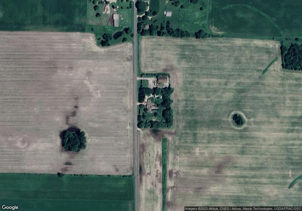
N5852 490th St Ellsworth, WI 54011
Estimated Value: $429,000 - $830,335
5
Beds
4
Baths
--
Sq Ft
3.4
Acres
About This Home
This home is located at N5852 490th St, Ellsworth, WI 54011 and is currently estimated at $629,668. N5852 490th St is a home located in Pierce County with nearby schools including Ellsworth High School.
Ownership History
Date
Name
Owned For
Owner Type
Purchase Details
Closed on
Sep 1, 2010
Sold by
Salewski Hans G
Bought by
Salewski Sheryclann M
Current Estimated Value
Purchase Details
Closed on
Jul 21, 2010
Sold by
Salewski Hans G
Bought by
Salewski Sheryelann M
Purchase Details
Closed on
May 2, 2007
Sold by
Salewski Hans G and Salewski Sheryel Ann M
Bought by
Salewski Hans G and Salewski Sheryel Ann M
Purchase Details
Closed on
Oct 27, 2006
Sold by
Rotdornstr Bettina Salewski
Bought by
Salewski Hans G
Create a Home Valuation Report for This Property
The Home Valuation Report is an in-depth analysis detailing your home's value as well as a comparison with similar homes in the area
Home Values in the Area
Average Home Value in this Area
Purchase History
| Date | Buyer | Sale Price | Title Company |
|---|---|---|---|
| Salewski Sheryclann M | -- | None Available | |
| Salewski Sheryelann M | -- | None Available | |
| Salewski Hans G | -- | None Available | |
| Salewski Hans G | -- | None Available |
Source: Public Records
Tax History Compared to Growth
Tax History
| Year | Tax Paid | Tax Assessment Tax Assessment Total Assessment is a certain percentage of the fair market value that is determined by local assessors to be the total taxable value of land and additions on the property. | Land | Improvement |
|---|---|---|---|---|
| 2024 | $13,387 | $702,200 | $41,600 | $660,600 |
| 2023 | $12,423 | $702,200 | $41,600 | $660,600 |
| 2022 | $10,433 | $702,200 | $41,600 | $660,600 |
| 2021 | $11,181 | $497,800 | $28,600 | $469,200 |
| 2020 | $11,187 | $497,800 | $28,600 | $469,200 |
| 2019 | $11,137 | $497,800 | $28,600 | $469,200 |
| 2018 | $11,613 | $529,000 | $28,600 | $500,400 |
| 2017 | $11,899 | $529,000 | $28,600 | $500,400 |
| 2016 | $11,944 | $529,000 | $28,600 | $500,400 |
| 2015 | $11,131 | $529,000 | $28,600 | $500,400 |
| 2014 | $10,712 | $529,000 | $28,600 | $500,400 |
| 2013 | $11,911 | $605,600 | $34,600 | $571,000 |
Source: Public Records
Map
Nearby Homes
- N5044 430th St
- W3223 690th Ave
- W6347 710th Ave
- 332 Pleasant Ave
- 166 E Main St
- 146 E Main St
- 829 N Grant St
- 893 N Grant St
- 883 N Grant St
- 871 N Grant St
- 841 N Grant St
- 227 S Piety St
- 944 S Kelly Rd
- 195 W Humble Ave
- W5373 801st Ave
- 230 S Chestnut St
- 232 S Chestnut St
- 269 S Chestnut St
- 314 N Maple St
- 000 Debra St
- N5912 490th St
- N5918 490th St
- n 5918 490th St
- N5923 490th St
- W5001 570th Ave
- W4699 County Road G
- W4881 County Road G
- W4881 County Road G
- W4881 County Road G
- W4881 County Road G
- W4881 County Road G
- W4881 County Road G
- W4881 Hwy G
- W4939 County Road G
- W5504 Hwy G
- W4731 County Road G
- W5615 Hwy G
- N5902 530th St
- 4683 County Road G
- W4768 County Road G