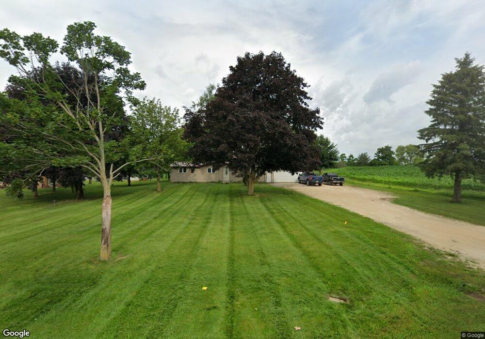
N6531 Mine Rd Iron Ridge, WI 53035
Estimated Value: $297,685 - $406,000
--
Bed
--
Bath
--
Sq Ft
0.8
Acres
About This Home
This home is located at N6531 Mine Rd, Iron Ridge, WI 53035 and is currently estimated at $343,671. N6531 Mine Rd is a home located in Dodge County with nearby schools including Parkview Elementary School, Mayville Elementary School, and Mayville Junior/Senior High School.
Ownership History
Date
Name
Owned For
Owner Type
Purchase Details
Closed on
Aug 21, 2006
Sold by
Sereno Joseph B
Bought by
Persha Nathan J and Persha Kelly L
Current Estimated Value
Home Financials for this Owner
Home Financials are based on the most recent Mortgage that was taken out on this home.
Original Mortgage
$145,300
Outstanding Balance
$87,803
Interest Rate
6.88%
Mortgage Type
Purchase Money Mortgage
Estimated Equity
$255,868
Create a Home Valuation Report for This Property
The Home Valuation Report is an in-depth analysis detailing your home's value as well as a comparison with similar homes in the area
Home Values in the Area
Average Home Value in this Area
Purchase History
| Date | Buyer | Sale Price | Title Company |
|---|---|---|---|
| Persha Nathan J | $155,000 | -- |
Source: Public Records
Mortgage History
| Date | Status | Borrower | Loan Amount |
|---|---|---|---|
| Open | Persha Nathan J | $145,300 |
Source: Public Records
Tax History Compared to Growth
Tax History
| Year | Tax Paid | Tax Assessment Tax Assessment Total Assessment is a certain percentage of the fair market value that is determined by local assessors to be the total taxable value of land and additions on the property. | Land | Improvement |
|---|---|---|---|---|
| 2024 | $2,774 | $165,600 | $34,300 | $131,300 |
| 2023 | $2,458 | $165,600 | $34,300 | $131,300 |
| 2022 | $2,363 | $165,600 | $34,300 | $131,300 |
| 2021 | $2,560 | $165,600 | $34,300 | $131,300 |
| 2020 | $2,516 | $165,600 | $34,300 | $131,300 |
| 2019 | $2,442 | $165,600 | $34,300 | $131,300 |
| 2018 | $2,439 | $165,600 | $34,300 | $131,300 |
| 2017 | $2,660 | $165,600 | $34,300 | $131,300 |
| 2016 | $2,328 | $165,600 | $34,300 | $131,300 |
| 2015 | $2,557 | $165,600 | $34,300 | $131,300 |
| 2014 | $2,535 | $165,600 | $34,300 | $131,300 |
Source: Public Records
Map
Nearby Homes
- Lt0 E Neda Rd
- 234 Watertower Cir
- 202 East Ave
- 0 Burkwald Ave
- N5413 County Rd S
- N6436 County Road Tw
- W4069 Raasch Hill Rd
- 725 Green Bay Dr
- Lt1 Hi View Ct
- 502 Janssen Ave
- 274 S Walnut St
- Lt2 S Clark St
- 300 Birchcrest Rd
- 329 Grove St
- N4973 Lake Dr
- 401 N Hubbard St
- 406 N Hubbard St
- 402 E Maple St
- 318 Brookside Dr Unit 1
- 117 Taylor St
- N6517 Mine Rd
- N6530 Mine Rd
- W2794 Graylog Rd
- W2840 Graylog Rd
- W2808 Graylog Rd
- N6510 Mine Rd
- N6552 Mine Rd
- W2830 Graylog Rd
- W2805 Graylog Rd
- N6479 Mine Rd
- N6569 Mine Rd
- N6588 Mine Rd
- N6593 Mine Rd
- N6604 Mine Rd
- W2875 Graylog Rd
- N6564 State Road 67
- N6488 State Road 67
- N6640 Mine Rd
- N6639 Mine Rd
- N6396 Mine Rd