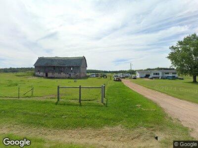
N7185 River Rd Wittenberg, WI 54499
Estimated Value: $215,000 - $332,000
--
Bed
--
Bath
--
Sq Ft
5
Acres
About This Home
This home is located at N7185 River Rd, Wittenberg, WI 54499 and is currently estimated at $270,333. N7185 River Rd is a home located in Shawano County with nearby schools including Bowler Elementary School and Bowler High School.
Ownership History
Date
Name
Owned For
Owner Type
Purchase Details
Closed on
Oct 16, 2017
Sold by
Rosenow C E & A A Trust
Bought by
Levandoski Thomas
Current Estimated Value
Purchase Details
Closed on
Jun 27, 2014
Sold by
Alice A Alice A
Bought by
Joint Jeff M and Joint Rene
Purchase Details
Closed on
Mar 15, 2007
Sold by
Clifford E Rosonow and Clifford Jt
Bought by
Rosenow Ryan
Purchase Details
Closed on
Jun 22, 2006
Sold by
Rosenow Clifford E and Rosenow Alice
Bought by
The Clifford E & Allice A Losenow Jt Rev
Create a Home Valuation Report for This Property
The Home Valuation Report is an in-depth analysis detailing your home's value as well as a comparison with similar homes in the area
Home Values in the Area
Average Home Value in this Area
Purchase History
| Date | Buyer | Sale Price | Title Company |
|---|---|---|---|
| Levandoski Thomas | $105,000 | -- | |
| Joint Jeff M | -- | -- | |
| Rosenow Ryan | -- | -- | |
| The Clifford E & Allice A Losenow Jt Rev | -- | -- |
Source: Public Records
Mortgage History
| Date | Status | Borrower | Loan Amount |
|---|---|---|---|
| Previous Owner | Strassburg Jeffrey K | $517,955 | |
| Closed | The Clifford E & Allice A Losenow Jt Rev | $0 |
Source: Public Records
Tax History Compared to Growth
Tax History
| Year | Tax Paid | Tax Assessment Tax Assessment Total Assessment is a certain percentage of the fair market value that is determined by local assessors to be the total taxable value of land and additions on the property. | Land | Improvement |
|---|---|---|---|---|
| 2024 | $2,042 | $165,700 | $24,500 | $141,200 |
| 2023 | $1,894 | $165,700 | $24,500 | $141,200 |
| 2022 | $1,885 | $118,200 | $16,200 | $102,000 |
| 2021 | $1,812 | $118,200 | $16,200 | $102,000 |
| 2020 | $1,969 | $118,200 | $16,200 | $102,000 |
| 2019 | $2,064 | $117,800 | $15,800 | $102,000 |
| 2018 | $2,028 | $117,800 | $15,800 | $102,000 |
| 2017 | $1,787 | $117,800 | $15,800 | $102,000 |
| 2016 | $1,846 | $117,800 | $15,800 | $102,000 |
| 2015 | $1,750 | $118,200 | $16,200 | $102,000 |
Source: Public Records
Map
Nearby Homes
- 0 Thorn Apple Dr Unit 50287665
- Lot 6 Thorn Apple Dr
- Lot 6 Sue Alan Dr
- Lot 5 Sue Alan Dr
- Lot 7 Sue Alan Dr
- Lot 8 Sue Alan Dr
- W16788 Balsam Rd
- Lot 4 Sue Alan Dr
- Lot 2 Sue Alan Dr
- W17698 County Road Q
- Lot 9 Sue Alan Dr
- Lot 3 Sue Alan Dr
- 0 Liberty Dr
- Lot 2 Freedom Way
- 17810 Eland Rd
- Lot 1 Freedom Way
- 0 Silver Creek Rd Unit 50301811
- N9677 Lake Dr
- 509 E Westgor Ave
- Lot 10 State Highway 45