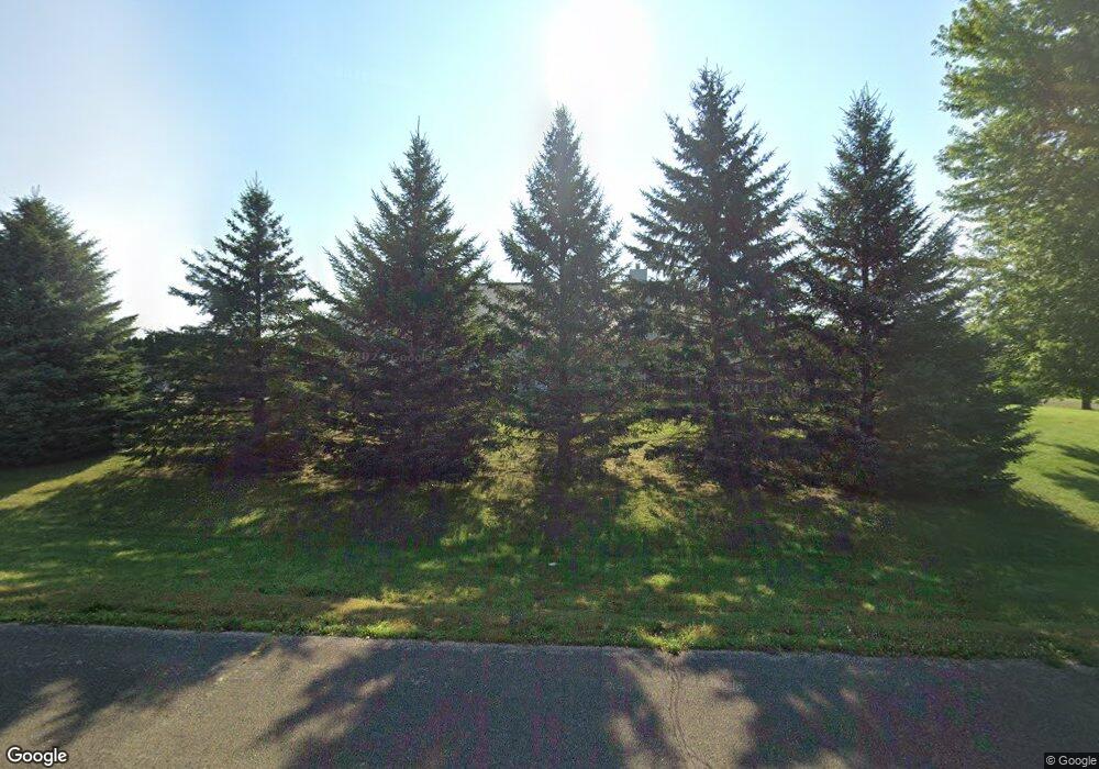
N7600 Burns Rd Beaver Dam, WI 53916
Estimated Value: $479,525 - $602,000
--
Bed
--
Bath
--
Sq Ft
1.04
Acres
About This Home
This home is located at N7600 Burns Rd, Beaver Dam, WI 53916 and is currently estimated at $522,881. N7600 Burns Rd is a home located in Dodge County with nearby schools including Beaver Dam High School, St. Katharine Drexel School, and St. Stephen's Lutheran School.
Ownership History
Date
Name
Owned For
Owner Type
Purchase Details
Closed on
Oct 21, 2021
Sold by
Mullin John W and Mullin Elaine C
Bought by
Mullin John W and Mullin Elaine C
Current Estimated Value
Create a Home Valuation Report for This Property
The Home Valuation Report is an in-depth analysis detailing your home's value as well as a comparison with similar homes in the area
Home Values in the Area
Average Home Value in this Area
Purchase History
| Date | Buyer | Sale Price | Title Company |
|---|---|---|---|
| Mullin John W | -- | None Listed On Document |
Source: Public Records
Tax History Compared to Growth
Tax History
| Year | Tax Paid | Tax Assessment Tax Assessment Total Assessment is a certain percentage of the fair market value that is determined by local assessors to be the total taxable value of land and additions on the property. | Land | Improvement |
|---|---|---|---|---|
| 2024 | $4,794 | $388,200 | $37,300 | $350,900 |
| 2023 | $4,785 | $388,200 | $37,300 | $350,900 |
| 2022 | $4,803 | $388,200 | $37,300 | $350,900 |
| 2021 | $4,059 | $251,200 | $35,200 | $216,000 |
| 2020 | $4,501 | $251,200 | $35,200 | $216,000 |
| 2019 | $4,115 | $251,200 | $35,200 | $216,000 |
| 2018 | $4,232 | $251,200 | $35,200 | $216,000 |
| 2017 | $4,225 | $251,200 | $35,200 | $216,000 |
| 2016 | $3,787 | $251,200 | $35,200 | $216,000 |
| 2015 | $3,541 | $251,200 | $35,200 | $216,000 |
| 2014 | $3,805 | $251,200 | $35,200 | $216,000 |
Source: Public Records
Map
Nearby Homes
- N7427 Hillendale Pkwy
- W7170 E Fir Rd
- 8246 N Crystal Lake Rd
- 116 Prairie View Dr
- The Harrington Plan at Stoney Ridge
- The Dover Plan at Stoney Ridge
- The Bridgeport Plan at Stoney Ridge
- The Caspian Plan at Stoney Ridge
- The Conway Plan at Stoney Ridge
- The Saybrook Plan at Stoney Ridge
- The Charleston Plan at Stoney Ridge
- The Wingra Plan at Stoney Ridge
- The Catalina Plan at Stoney Ridge
- 102 Mary Belle Ln
- 107 Reuben Ct
- 121 Prairie View Dr
- 305 Morgan Ln
- 102 Reuben Ct
- Lot 2 Hidden Valley Dr
- N7245 County Road I
- W7538 Country Dr
- N7616 Burns Rd
- W7545 Country Dr
- W7526 Country Dr
- W7527 Country Dr
- N7626 Burns Rd
- N7558 Burns Rd
- W7503 Country Dr
- N7648 Burns Rd
- N7546 Burns Rd
- W7486 Country Dr
- N7534 Burns Rd
- W7497 Country Dr
- N7526 Burns Rd
- W7536 County Road E
- W7489 Country Dr
- W7500 County Road E
- N7516 Burns Rd
- N7670 County A Rd
- W7498 County Road E