N9285 Benson Rd Brooklyn, WI 53521
Estimated Value: $451,282 - $536,000
--
Bed
--
Bath
--
Sq Ft
3
Acres
About This Home
This home is located at N9285 Benson Rd, Brooklyn, WI 53521 and is currently estimated at $500,821. N9285 Benson Rd is a home located in Green County with nearby schools including Oregon Middle School, Rome Corners Intermediate School, and Oregon High School.
Ownership History
Date
Name
Owned For
Owner Type
Purchase Details
Closed on
Oct 15, 2007
Sold by
Plachetta Konard W and Plachetta Corinne A
Bought by
Ellis Richard A and Eichmann Shawna M
Current Estimated Value
Home Financials for this Owner
Home Financials are based on the most recent Mortgage that was taken out on this home.
Original Mortgage
$256,000
Outstanding Balance
$160,818
Interest Rate
6.33%
Mortgage Type
New Conventional
Estimated Equity
$340,003
Create a Home Valuation Report for This Property
The Home Valuation Report is an in-depth analysis detailing your home's value as well as a comparison with similar homes in the area
Home Values in the Area
Average Home Value in this Area
Purchase History
| Date | Buyer | Sale Price | Title Company |
|---|---|---|---|
| Ellis Richard A | $271,000 | None Available |
Source: Public Records
Mortgage History
| Date | Status | Borrower | Loan Amount |
|---|---|---|---|
| Open | Ellis Richard A | $256,000 |
Source: Public Records
Tax History Compared to Growth
Tax History
| Year | Tax Paid | Tax Assessment Tax Assessment Total Assessment is a certain percentage of the fair market value that is determined by local assessors to be the total taxable value of land and additions on the property. | Land | Improvement |
|---|---|---|---|---|
| 2024 | $5,849 | $395,500 | $143,000 | $252,500 |
| 2023 | $5,681 | $246,600 | $77,000 | $169,600 |
| 2022 | $5,454 | $246,600 | $77,000 | $169,600 |
| 2021 | $5,447 | $244,200 | $77,000 | $167,200 |
| 2020 | $5,555 | $244,200 | $77,000 | $167,200 |
| 2019 | $5,251 | $244,200 | $77,000 | $167,200 |
| 2018 | $4,887 | $244,200 | $77,000 | $167,200 |
| 2017 | $4,746 | $244,200 | $77,000 | $167,200 |
| 2016 | $4,777 | $244,200 | $77,000 | $167,200 |
| 2014 | $4,657 | $244,200 | $77,000 | $167,200 |
Source: Public Records
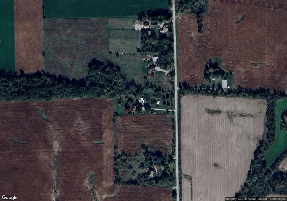
Map
Nearby Homes
- Lot 30 2nd St
- 212 Church St
- 216 Hotel St
- 118 Douglas Dr
- 200 S Kerch St
- 203 S Kerch St
- 328 N Rutland Ave
- 408 Juniper St
- 308 County Road Mm
- Lt1 King Rd
- Lot 1 King Rd
- 161 Glenway Rd
- N8383 Smith Rd
- 0 Biglow Rd
- 4432 Old Stage Rd
- 596 Hillcrest Ln
- 10303 N Harold Dr
- 4631 County Road A
- 1085 Autumn Blaze Ct
- 938 Johnson Ave
- N9317 Benson Rd
- N9251 Benson Rd
- N9353 Benson Rd
- N7993 State Road 104
- N9390 Benson Rd
- W1459 Hwy 92
- 00 Sandy Hook Rd (~37 Ac)
- 00 Sandy Hook Rd (34+ -Ac)
- 16.4 Ac County Rd E
- Lot 1 Horan (See Comments Below)
- W1054 Highway 92
- 30 Acres Sandy Hook (South) Rd
- 30 Acres Sandy Hook (North) Rd
- W585 State Road 92
- 40 AC Yarwood Rd
- W1882 Hwy 92
- W1137 Hwy 92
- W420 Hwy 92
- W580 State Road 92