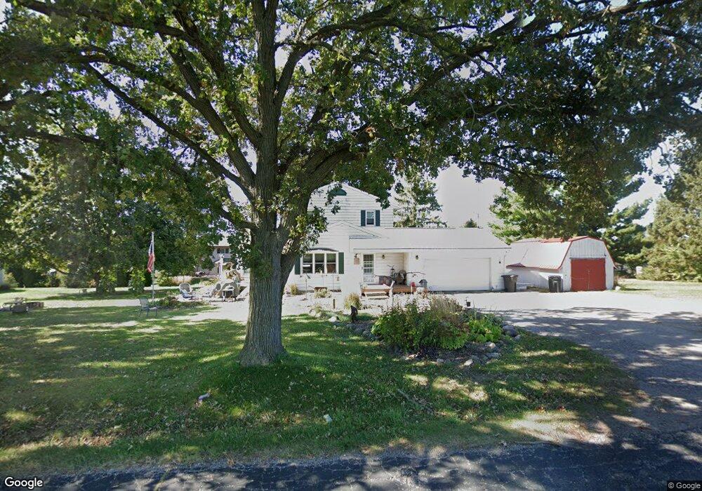
N9371 Howard Rd Whitewater, WI 53190
Estimated Value: $319,668 - $432,000
--
Bed
--
Bath
--
Sq Ft
0.88
Acres
About This Home
This home is located at N9371 Howard Rd, Whitewater, WI 53190 and is currently estimated at $384,667. N9371 Howard Rd is a home located in Walworth County with nearby schools including Whitewater High School, Jedi Virtual K-12, and Kettle Moraine Baptist Academy.
Ownership History
Date
Name
Owned For
Owner Type
Purchase Details
Closed on
Oct 20, 2020
Sold by
Morse David L and Morse Susan R
Bought by
Morse Daniel L and Morse Cory L
Current Estimated Value
Home Financials for this Owner
Home Financials are based on the most recent Mortgage that was taken out on this home.
Original Mortgage
$251,322
Outstanding Balance
$223,130
Interest Rate
2.8%
Mortgage Type
FHA
Estimated Equity
$161,537
Create a Home Valuation Report for This Property
The Home Valuation Report is an in-depth analysis detailing your home's value as well as a comparison with similar homes in the area
Home Values in the Area
Average Home Value in this Area
Purchase History
| Date | Buyer | Sale Price | Title Company |
|---|---|---|---|
| Morse Daniel L | $260,000 | None Available |
Source: Public Records
Mortgage History
| Date | Status | Borrower | Loan Amount |
|---|---|---|---|
| Open | Morse Daniel L | $251,322 |
Source: Public Records
Tax History Compared to Growth
Tax History
| Year | Tax Paid | Tax Assessment Tax Assessment Total Assessment is a certain percentage of the fair market value that is determined by local assessors to be the total taxable value of land and additions on the property. | Land | Improvement |
|---|---|---|---|---|
| 2024 | $2,784 | $286,800 | $66,700 | $220,100 |
| 2023 | $3,158 | $197,500 | $43,900 | $153,600 |
| 2022 | $2,944 | $197,500 | $43,900 | $153,600 |
| 2021 | $3,263 | $197,500 | $43,900 | $153,600 |
| 2020 | $3,247 | $197,500 | $43,900 | $153,600 |
| 2019 | $3,171 | $197,500 | $43,900 | $153,600 |
| 2018 | $3,227 | $197,500 | $43,900 | $153,600 |
| 2017 | $3,194 | $197,500 | $43,900 | $153,600 |
| 2016 | $3,138 | $197,500 | $43,900 | $153,600 |
| 2015 | $3,274 | $197,500 | $43,900 | $153,600 |
| 2014 | $3,227 | $212,700 | $59,100 | $153,600 |
| 2013 | $3,227 | $212,700 | $59,100 | $153,600 |
Source: Public Records
Map
Nearby Homes
- 161 S Maple Ln
- Lt3 Bluff Rd
- Lt2 Bluff Rd
- 224 S Maple Ln
- 225 S Maple Ln
- Lt1 Bluff Rd
- 196 S Ash Ln
- 1277 E Bluff Rd
- 1270 E Jakes Way Unit 6
- 1127 Bluff Rd
- Lt2T Howard Rd
- Lt1T Innovation Dr
- 312 Elkhorn Rd
- 929 E Clay St
- Lt1B Universal Blvd
- 803 E Milwaukee St
- 848 E Commercial Ave
- 455 Howard Rd
- 728 E Main St
- 127 N Newcomb St
- 169 S Maple Ln
- 175 S Maple Ln
- 155 S Maple Ln
- 143 S Maple Ln
- 187 S Maple Ln
- 168 S Maple Ln
- N9391 Howard Rd
- 160 S Maple Ln
- 176 S Maple Ln
- 137 S Maple Ln
- 152 S Maple Ln
- 201 S Maple Ln
- 184 S Maple Ln
- 144 S Maple Ln
- 127 S Maple Ln
- 192 S Maple Ln
- 136 S Maple Ln
- 167 S Locust Ln
- 153 S Locust Ln
- 177 S Locust Ln