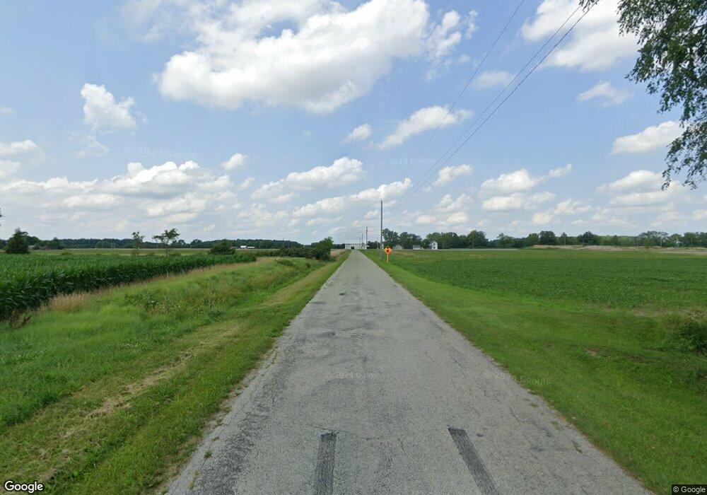
P561 County Road 18 Napoleon, OH 43545
Estimated Value: $182,000 - $377,000
4
Beds
1
Bath
1,591
Sq Ft
$173/Sq Ft
Est. Value
About This Home
This home is located at P561 County Road 18, Napoleon, OH 43545 and is currently estimated at $274,548, approximately $172 per square foot. P561 County Road 18 is a home located in Henry County with nearby schools including Napoleon Elementary School and Napoleon Junior/Senior High School.
Ownership History
Date
Name
Owned For
Owner Type
Purchase Details
Closed on
Mar 4, 2022
Sold by
James R Panning Trust
Bought by
Mcmahon Patricia A
Current Estimated Value
Purchase Details
Closed on
Jul 10, 2009
Sold by
Panning James R
Bought by
Panning James R and James R Panning Trust
Purchase Details
Closed on
May 26, 2007
Sold by
Panning James R
Bought by
Panning James R
Purchase Details
Closed on
May 12, 2003
Sold by
Panning Thomas J
Bought by
Panning Thomas J and Thomas J Panning Living Trust
Create a Home Valuation Report for This Property
The Home Valuation Report is an in-depth analysis detailing your home's value as well as a comparison with similar homes in the area
Home Values in the Area
Average Home Value in this Area
Purchase History
| Date | Buyer | Sale Price | Title Company |
|---|---|---|---|
| Mcmahon Patricia A | -- | Bohmer Robert W | |
| Panning James R | -- | None Available | |
| Panning James R | -- | Attorney | |
| Panning Thomas J | -- | -- |
Source: Public Records
Tax History Compared to Growth
Tax History
| Year | Tax Paid | Tax Assessment Tax Assessment Total Assessment is a certain percentage of the fair market value that is determined by local assessors to be the total taxable value of land and additions on the property. | Land | Improvement |
|---|---|---|---|---|
| 2024 | $3,208 | $73,920 | $14,390 | $59,530 |
| 2023 | $3,208 | $74,130 | $14,390 | $59,740 |
| 2022 | $3,145 | $133,340 | $27,880 | $105,460 |
| 2021 | $3,145 | $66,670 | $13,940 | $52,730 |
| 2020 | $3,302 | $66,670 | $13,940 | $52,730 |
| 2019 | $2,878 | $56,900 | $12,790 | $44,110 |
| 2018 | $2,918 | $56,900 | $12,790 | $44,110 |
| 2017 | $2,857 | $56,900 | $12,790 | $44,110 |
| 2016 | $2,472 | $47,960 | $12,500 | $35,460 |
| 2015 | $2,432 | $47,960 | $12,500 | $35,460 |
| 2014 | $2,792 | $51,120 | $12,500 | $38,620 |
| 2013 | $2,792 | $53,390 | $12,500 | $40,890 |
Source: Public Records
Map
Nearby Homes
- 29232 Coressel Rd
- 75 Capri Dr
- 0 Westmoreland Ave
- 00 Westmoreland Ave
- 1374 Clairmont Ave
- 1113 Clairmont Ave
- 1314 Clairmont Ave
- 1214 Clairmont Ave
- 1354 Clairmont Ave
- 900 Welsted St
- 1050 Indiana Ave
- 20401 U S 6
- 1309 Lagrange St
- 725 Sheffield Ave
- 825 Old School Dr
- 1109 Highland Ave
- 19972 County Road X
- 1124 Highland Ave
- 1122 Ohio St
- 19913 County Road X
- P407 County Road 18
- P482 County Road 18
- P851 County Road 18
- P630 County Road 18
- P854 County Road 18
- P281 County Road 18
- P259 County Road 18
- 18130 County Road P
- 18270 County Road P
- 18378 County Road P
- 17861 County Road P
- 18606 County Road P
- 18357 County Road P
- 17658 County Road P
- 17629 County Road P
- 17394 County Road P
- O769 County Road 18
- 18812 County Road P
- 18195 County Road Q1
- Q480 County Road 18
