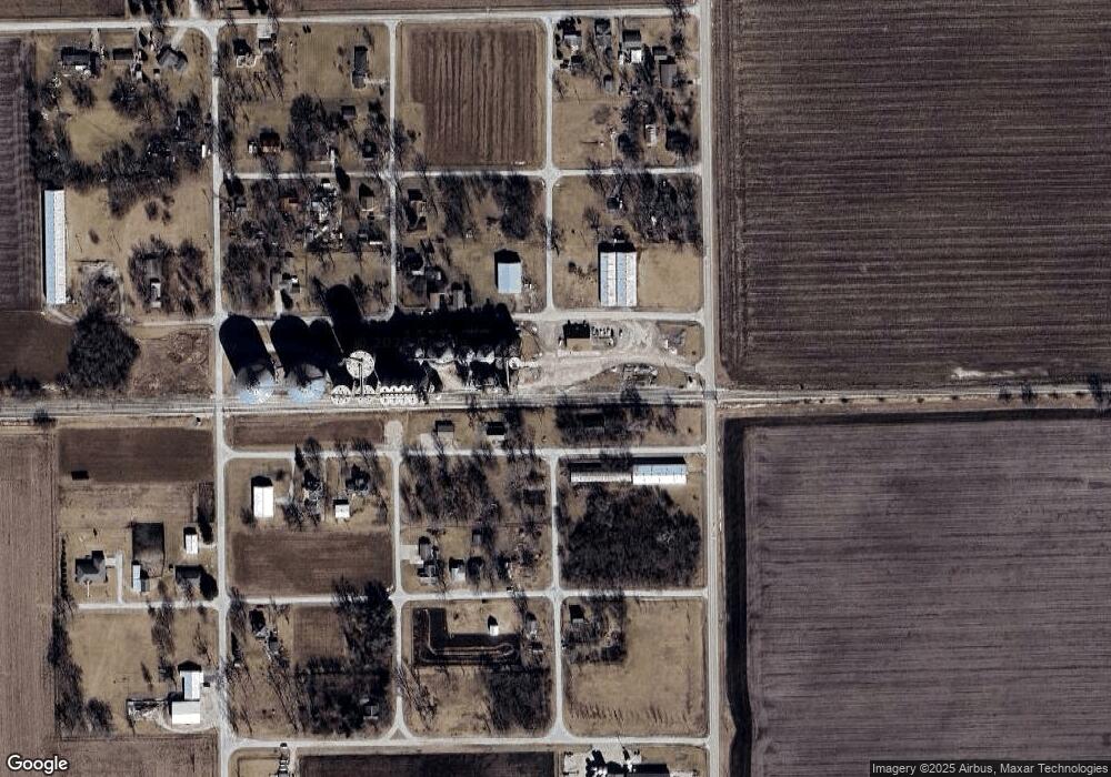
Rr 1 Chenoa, IL 61726
Estimated Value: $128,000 - $163,000
Studio
1
Bath
1,311
Sq Ft
$114/Sq Ft
Est. Value
About This Home
This home is located at Rr 1, Chenoa, IL 61726 and is currently estimated at $149,667, approximately $114 per square foot. Rr 1 is a home located in McLean County with nearby schools including Prairie Central High School.
Create a Home Valuation Report for This Property
The Home Valuation Report is an in-depth analysis detailing your home's value as well as a comparison with similar homes in the area
Tax History Compared to Growth
Tax History
| Year | Tax Paid | Tax Assessment Tax Assessment Total Assessment is a certain percentage of the fair market value that is determined by local assessors to be the total taxable value of land and additions on the property. | Land | Improvement |
|---|---|---|---|---|
| 2024 | $2,708 | $29,815 | $6,959 | $22,856 |
| 2022 | $2,495 | $28,517 | $5,987 | $22,530 |
| 2021 | $2,403 | $27,865 | $5,850 | $22,015 |
| 2020 | $2,241 | $25,909 | $5,439 | $20,470 |
| 2019 | $2,288 | $25,909 | $5,439 | $20,470 |
| 2018 | $2,450 | $25,655 | $5,386 | $20,269 |
| 2017 | $1,241 | $25,655 | $5,386 | $20,269 |
| 2016 | $1,172 | $25,655 | $5,386 | $20,269 |
| 2015 | $1,177 | $26,323 | $5,526 | $20,797 |
| 2014 | $1,179 | $26,323 | $5,526 | $20,797 |
| 2013 | -- | $26,610 | $5,586 | $21,024 |
Source: Public Records
Map
Nearby Homes
- 517 Sunrise Dr
- 605 Morningside Dr
- 503 N Commercial St
- 301 N 2nd Ave
- 117 Clark St
- 602 N 4th Ave
- 29758 N 2850 East Rd
- 10788 N 1000 Rd E
- 9898 E 1200 North Rd
- 31439 2nd St
- 706 W Wall St
- 14373 N 1700 Rd E
- 208 E 8th St
- 8735 N 2000 East Rd
- 108 E Gridley Rd
- 10735 E 1700 Rd N
- 1702 S Plum St
- 21671 Clarksville Rd
- 1204 W Reynolds St
- 105 Carol Ct Unit C-1
