Rr 1 Chenoa, IL 61726
Estimated Value: $661,238
Studio
2
Baths
1,640
Sq Ft
$403/Sq Ft
Est. Value
About This Home
This home is located at Rr 1, Chenoa, IL 61726 and is currently estimated at $661,238, approximately $403 per square foot. Rr 1 is a home located in McLean County with nearby schools including Prairie Central High School.
Create a Home Valuation Report for This Property
The Home Valuation Report is an in-depth analysis detailing your home's value as well as a comparison with similar homes in the area
Tax History
| Year | Tax Paid | Tax Assessment Tax Assessment Total Assessment is a certain percentage of the fair market value that is determined by local assessors to be the total taxable value of land and additions on the property. | Land | Improvement |
|---|---|---|---|---|
| 2024 | $8,680 | $145,503 | $49,637 | $95,866 |
| 2022 | $8,680 | $129,070 | $42,137 | $86,933 |
| 2021 | $8,495 | $124,313 | $39,097 | $85,216 |
| 2020 | $8,336 | $120,886 | $36,411 | $84,475 |
| 2019 | $8,182 | $118,512 | $34,037 | $84,475 |
| 2018 | $8,814 | $118,512 | $34,037 | $84,475 |
| 2017 | $7,784 | $115,750 | $31,826 | $83,924 |
| 2016 | $8,052 | $113,787 | $29,863 | $83,924 |
| 2015 | $7,173 | $110,949 | $27,985 | $82,964 |
| 2014 | $7,247 | $109,327 | $26,363 | $82,964 |
| 2013 | -- | $106,345 | $23,381 | $82,964 |
Source: Public Records
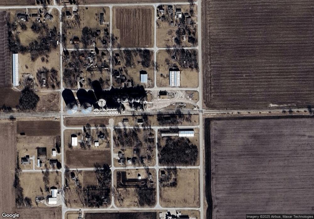
Map
Nearby Homes
- 605 Morningside Dr
- 1017 Florence Ave
- 503 N Commercial St
- 310 N 1st Ave
- 117 Clark St
- Lot 7 Block 11 S Morehead St
- 602 N 4th Ave
- 429 W Owsley St
- 106 Champion Dr
- 10788 N 1000 East Rd
- 9898 E 1200 North Rd
- 31439 2nd St
- 33574 Oak St
- 14373 N 1700 Rd E
- 208 E 8th St
- 8735 N 2000 East Rd
- 108 E Gridley Rd
- 10735 E 1700 Rd N
- 1702 S Plum St
- 25179 N 2175 East Rd
Your Personal Tour Guide
Ask me questions while you tour the home.