Rr 1 Chenoa, IL 61726
Estimated Value: $176,000 - $298,481
Studio
1
Bath
896
Sq Ft
$242/Sq Ft
Est. Value
About This Home
This home is located at Rr 1, Chenoa, IL 61726 and is currently estimated at $217,160, approximately $242 per square foot. Rr 1 is a home located in McLean County with nearby schools including Prairie Central High School.
Create a Home Valuation Report for This Property
The Home Valuation Report is an in-depth analysis detailing your home's value as well as a comparison with similar homes in the area
Tax History
| Year | Tax Paid | Tax Assessment Tax Assessment Total Assessment is a certain percentage of the fair market value that is determined by local assessors to be the total taxable value of land and additions on the property. | Land | Improvement |
|---|---|---|---|---|
| 2024 | $3,250 | $59,285 | $21,446 | $37,839 |
| 2022 | $3,250 | $49,237 | $17,755 | $31,482 |
| 2021 | $3,047 | $47,426 | $16,334 | $31,092 |
| 2020 | $2,882 | $44,785 | $14,864 | $29,921 |
| 2019 | $2,306 | $36,715 | $13,761 | $22,954 |
| 2018 | $2,379 | $36,530 | $13,728 | $22,802 |
| 2017 | $2,461 | $35,527 | $12,725 | $22,802 |
| 2016 | $2,190 | $34,613 | $11,811 | $22,802 |
| 2015 | $2,099 | $34,270 | $11,068 | $23,202 |
| 2014 | $2,106 | $29,515 | $10,313 | $19,202 |
| 2013 | -- | $28,578 | $9,248 | $19,330 |
Source: Public Records
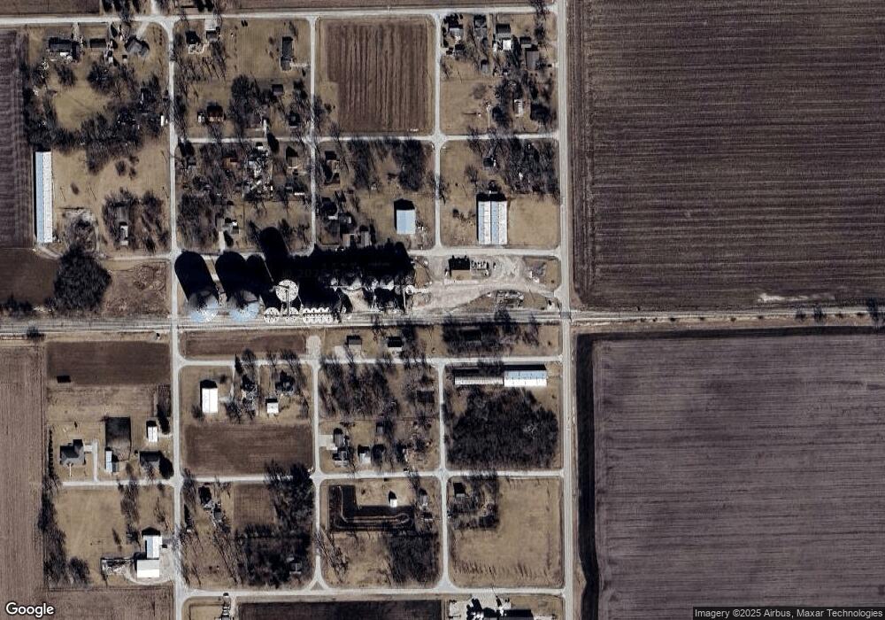
Map
Nearby Homes
- 605 Morningside Dr
- 1017 Florence Ave
- 301 N 2nd Ave
- 310 N 1st Ave
- 117 Clark St
- Lot 7 Block 11 S Morehead St
- 602 N 4th Ave
- 429 W Owsley St
- 106 Champion Dr
- 10788 N 1000 East Rd
- 9898 E 1200 North Rd
- 31439 2nd St
- 33574 Oak St
- 208 E 8th St
- 8735 N 2000 East Rd
- 108 E Gridley Rd
- 10735 E 1700 Rd N
- 1702 S Plum St
- 25179 N 2175 East Rd
- 21671 Clarksville Rd
Your Personal Tour Guide
Ask me questions while you tour the home.