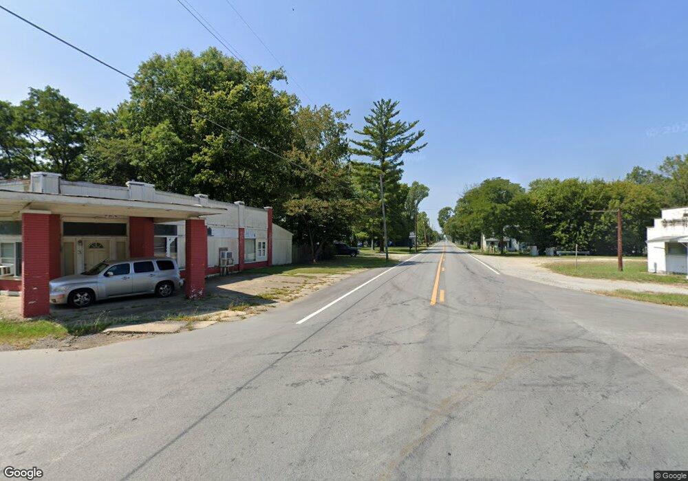
Rr 1 Fountaintown, IN 46130
Estimated Value: $62,000 - $145,000
2
Beds
1
Bath
704
Sq Ft
$154/Sq Ft
Est. Value
About This Home
This home is located at Rr 1, Fountaintown, IN 46130 and is currently estimated at $108,129, approximately $153 per square foot. Rr 1 is a home located in Shelby County with nearby schools including Morristown Elementary School and Morristown Junior/Senior High School.
Ownership History
Date
Name
Owned For
Owner Type
Purchase Details
Closed on
May 24, 2022
Sold by
Huesman Matthew J and Huesman Tina R
Bought by
Moore Andrew
Current Estimated Value
Home Financials for this Owner
Home Financials are based on the most recent Mortgage that was taken out on this home.
Original Mortgage
$3,850
Outstanding Balance
$3,663
Interest Rate
5.27%
Mortgage Type
New Conventional
Estimated Equity
$104,466
Create a Home Valuation Report for This Property
The Home Valuation Report is an in-depth analysis detailing your home's value as well as a comparison with similar homes in the area
Home Values in the Area
Average Home Value in this Area
Purchase History
| Date | Buyer | Sale Price | Title Company |
|---|---|---|---|
| Moore Andrew | $55,000 | Hall Render Killian Heath & Ly |
Source: Public Records
Mortgage History
| Date | Status | Borrower | Loan Amount |
|---|---|---|---|
| Open | Moore Andrew | $3,850 | |
| Open | Moore Andrew | $52,050 |
Source: Public Records
Tax History Compared to Growth
Tax History
| Year | Tax Paid | Tax Assessment Tax Assessment Total Assessment is a certain percentage of the fair market value that is determined by local assessors to be the total taxable value of land and additions on the property. | Land | Improvement |
|---|---|---|---|---|
| 2024 | $260 | $67,800 | $8,900 | $58,900 |
| 2023 | $831 | $59,600 | $7,800 | $51,800 |
| 2022 | $182 | $59,600 | $7,800 | $51,800 |
| 2021 | $690 | $49,400 | $7,800 | $41,600 |
| 2020 | $670 | $48,500 | $7,800 | $40,700 |
| 2019 | $629 | $44,500 | $7,600 | $36,900 |
| 2018 | $566 | $40,800 | $7,600 | $33,200 |
| 2017 | $541 | $39,300 | $7,600 | $31,700 |
| 2016 | $478 | $37,300 | $7,500 | $29,800 |
| 2014 | $452 | $38,400 | $7,500 | $30,900 |
| 2013 | $452 | $40,000 | $7,500 | $32,500 |
Source: Public Records
Map
Nearby Homes
- 11546 N Shelby 300 W
- 5465 S Greenfield St
- 1069 W Railroad St
- 5477 S Main St
- 5 U S 52
- 6 U S 52
- 661 W 500 S
- 10686 N Division Rd
- 83 E Walnut St
- 11497 N State Road 9
- 256 E 1000 N
- 11131 N State Road 9
- 4500 S 50 W
- 11600 N 100 E
- 4673 S 400 W
- 3720 W 600 S
- Approx 5500 W 1200 N
- 5555 S 200 E
- 1546 E Osprey Dr
- 31 E Mill St
- 737 E 1000 N
- 2785 W 1100 N
- 10947 N 200 W
- 10879 N 200 W
- 10975 N 200 W
- 10905 N 200 W
- 10993 N 200 W
- 11055 N 200 W
- 2435 W 1050 N
- 2232 W 1050 N
- 11311 N County Road 200 W
- 11311 N 200 W
- 11313 N 200 W
- 11471 N 250 W
- 11246 N 200 W
- 0 W 1100 N Unit MBR2521674
- 10575 N 200 W
- 1905 W 1100 N
- 10634 N 200 W
- 11901 N 250 W
