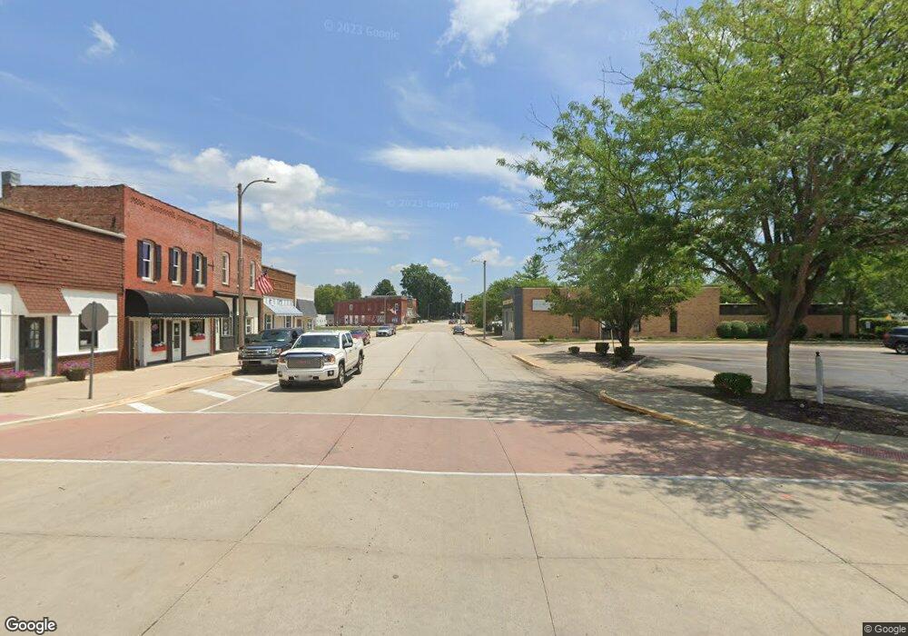
Rr 1 Heyworth, IL 61745
Estimated Value: $98,865 - $222,000
--
Bed
1
Bath
288
Sq Ft
$608/Sq Ft
Est. Value
About This Home
This home is located at Rr 1, Heyworth, IL 61745 and is currently estimated at $174,966, approximately $607 per square foot. Rr 1 is a home located in McLean County with nearby schools including Heyworth Elementary School and Heyworth Junior/Senior High School.
Ownership History
Date
Name
Owned For
Owner Type
Purchase Details
Closed on
Jul 31, 2024
Sold by
Cameron David R and Cameron Rebecca L
Bought by
Cameron Family Trust and Cameron
Current Estimated Value
Purchase Details
Closed on
Nov 24, 2009
Sold by
Midwest Health Ministries
Bought by
Cameron David and Cameron Rebecca L
Home Financials for this Owner
Home Financials are based on the most recent Mortgage that was taken out on this home.
Original Mortgage
$125,000
Interest Rate
5.05%
Create a Home Valuation Report for This Property
The Home Valuation Report is an in-depth analysis detailing your home's value as well as a comparison with similar homes in the area
Home Values in the Area
Average Home Value in this Area
Purchase History
| Date | Buyer | Sale Price | Title Company |
|---|---|---|---|
| Cameron Family Trust | -- | None Listed On Document | |
| Cameron David | $225,000 | Mclean County Title |
Source: Public Records
Mortgage History
| Date | Status | Borrower | Loan Amount |
|---|---|---|---|
| Previous Owner | Cameron David | $125,000 |
Source: Public Records
Tax History Compared to Growth
Tax History
| Year | Tax Paid | Tax Assessment Tax Assessment Total Assessment is a certain percentage of the fair market value that is determined by local assessors to be the total taxable value of land and additions on the property. | Land | Improvement |
|---|---|---|---|---|
| 2024 | $1,802 | $25,870 | $8,879 | $16,991 |
| 2022 | $1,802 | $21,671 | $7,438 | $14,233 |
| 2021 | $1,767 | $20,788 | $7,135 | $13,653 |
| 2020 | $1,763 | $20,507 | $7,039 | $13,468 |
| 2019 | $1,749 | $20,361 | $6,989 | $13,372 |
| 2018 | $1,753 | $20,361 | $6,989 | $13,372 |
| 2017 | $1,724 | $20,201 | $6,934 | $13,267 |
| 2016 | $1,714 | $20,201 | $6,934 | $13,267 |
| 2015 | $1,675 | $19,575 | $6,719 | $12,856 |
| 2014 | $1,425 | $16,857 | $4,001 | $12,856 |
| 2013 | -- | $16,857 | $4,001 | $12,856 |
Source: Public Records
Map
Nearby Homes
- 810 Tomahawk
- 702 Arrowhead
- LOT 63 and 78 Cobble Creek Ln
- 210 N Buchanan St
- 408 W Randolph St
- 512 E Pease St
- 704 Russell Ct
- 613 E Vorey St
- 2nd Addition Whitetail S
- 111 S Karr St
- 701 Thomas Dr
- 205 E Cole St
- 4216 Anderson Dr
- 506 Prairie Meadows Dr
- 518 Prairie Meadows Dr
- 608 Prairie Meadows Dr
- 14607 Knob Hill Dr
- 14477 Us Highway 51
- Lot 32 - 15875 Belfry Dr
- Lot 13 - 15850 Palmer Way
