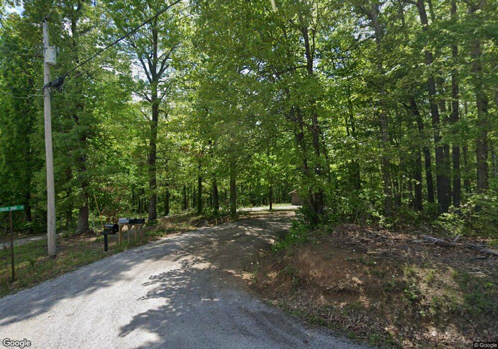
S Wind Ln Jamestown, TN 38556
Estimated Value: $100,000 - $168,000
--
Bed
--
Bath
672
Sq Ft
$203/Sq Ft
Est. Value
About This Home
This home is located at S Wind Ln, Jamestown, TN 38556 and is currently estimated at $136,333, approximately $202 per square foot. S Wind Ln is a home located in Fentress County with nearby schools including Cumberland Christian School.
Ownership History
Date
Name
Owned For
Owner Type
Purchase Details
Closed on
Dec 3, 2007
Bought by
Brown Rick
Current Estimated Value
Home Financials for this Owner
Home Financials are based on the most recent Mortgage that was taken out on this home.
Original Mortgage
$35,000
Outstanding Balance
$22,062
Interest Rate
6.22%
Mortgage Type
Cash
Estimated Equity
$114,271
Purchase Details
Closed on
Jul 24, 2007
Bought by
Stephens Todd
Purchase Details
Closed on
May 17, 2005
Sold by
Not Provided
Bought by
Rains Kenneth
Purchase Details
Closed on
Oct 11, 1988
Bought by
Stewart Dwight
Create a Home Valuation Report for This Property
The Home Valuation Report is an in-depth analysis detailing your home's value as well as a comparison with similar homes in the area
Home Values in the Area
Average Home Value in this Area
Purchase History
| Date | Buyer | Sale Price | Title Company |
|---|---|---|---|
| Brown Rick | $6,200 | -- | |
| Stephens Todd | $11,800 | -- | |
| Rains Kenneth | -- | -- | |
| Stewart Dwight | $3,000 | -- |
Source: Public Records
Mortgage History
| Date | Status | Borrower | Loan Amount |
|---|---|---|---|
| Open | Stewart Dwight | $35,000 |
Source: Public Records
Tax History Compared to Growth
Tax History
| Year | Tax Paid | Tax Assessment Tax Assessment Total Assessment is a certain percentage of the fair market value that is determined by local assessors to be the total taxable value of land and additions on the property. | Land | Improvement |
|---|---|---|---|---|
| 2024 | $344 | $25,450 | $1,125 | $24,325 |
| 2023 | $344 | $25,450 | $1,125 | $24,325 |
| 2022 | $292 | $15,300 | $1,000 | $14,300 |
| 2021 | $292 | $15,300 | $1,000 | $14,300 |
| 2020 | $292 | $15,300 | $1,000 | $14,300 |
| 2019 | $292 | $15,300 | $1,000 | $14,300 |
| 2018 | $292 | $15,300 | $1,000 | $14,300 |
| 2017 | $269 | $13,550 | $1,000 | $12,550 |
| 2016 | $269 | $13,550 | $1,000 | $12,550 |
| 2015 | $269 | $13,558 | $0 | $0 |
| 2014 | $269 | $13,558 | $0 | $0 |
Source: Public Records
Map
Nearby Homes
- 0 Withheld Unit A10223402
- 244/ac Wilson Ridge Rd
- 299 Ac Glenobey Rd
- 72.71AC Hinds Chapel Rd
- 5.30ac Glenobey Rd
- 177 Ar Lost Cane Creek Rd
- L 12-13 Cheyenne Dr
- ---- Delk Ln
- 18.80 ac Delk Ln
- 0 Delk Ln
- 320 Delk Ln
- 1414 Old Allardt Rd
- 1358 Old Allardt Rd
- 1348 Old Allardt Rd
- 325 Delk Ln
- 00 Delk Ln
- 1330 Old Allardt Rd
- 4534 Double Top Rd
- 3023 Pickett
- Lot # 12 Eagle Bluff
