S11911 Warner Rd Augusta, WI 54722
Estimated Value: $113,000 - $485,000
--
Bed
--
Bath
--
Sq Ft
1.66
Acres
About This Home
This home is located at S11911 Warner Rd, Augusta, WI 54722 and is currently estimated at $302,291. S11911 Warner Rd is a home with nearby schools including Augusta Elementary School, Augusta Middle School, and Augusta High School.
Ownership History
Date
Name
Owned For
Owner Type
Purchase Details
Closed on
Aug 14, 2015
Sold by
Lynch First Frankling Mtg Loan
Bought by
Luedtke Daniel
Current Estimated Value
Purchase Details
Closed on
Oct 14, 2014
Sold by
Eau Claire County Sheriff
Bought by
Merrill Lynch First Franklin M
Purchase Details
Closed on
Oct 26, 2006
Sold by
Dickensen Kevin J
Bought by
Warner Dusty and Warner Joyce A
Home Financials for this Owner
Home Financials are based on the most recent Mortgage that was taken out on this home.
Original Mortgage
$175,000
Interest Rate
8.55%
Mortgage Type
Adjustable Rate Mortgage/ARM
Purchase Details
Closed on
Mar 23, 2006
Sold by
Warner Dusty and Warner Joyce A
Bought by
Warner Dusty and Warner Joyce A
Home Financials for this Owner
Home Financials are based on the most recent Mortgage that was taken out on this home.
Original Mortgage
$168,000
Interest Rate
6.37%
Mortgage Type
Construction
Create a Home Valuation Report for This Property
The Home Valuation Report is an in-depth analysis detailing your home's value as well as a comparison with similar homes in the area
Home Values in the Area
Average Home Value in this Area
Purchase History
| Date | Buyer | Sale Price | Title Company |
|---|---|---|---|
| Luedtke Daniel | -- | 1St Sevice Tite & Closing | |
| Merrill Lynch First Franklin M | $275,263 | -- | |
| Warner Dusty | -- | None Available | |
| Warner Dusty | -- | Associated Title Co Llc |
Source: Public Records
Mortgage History
| Date | Status | Borrower | Loan Amount |
|---|---|---|---|
| Previous Owner | Warner Dusty | $175,000 | |
| Previous Owner | Warner Dusty | $168,000 |
Source: Public Records
Tax History Compared to Growth
Tax History
| Year | Tax Paid | Tax Assessment Tax Assessment Total Assessment is a certain percentage of the fair market value that is determined by local assessors to be the total taxable value of land and additions on the property. | Land | Improvement |
|---|---|---|---|---|
| 2024 | $4,570 | $272,600 | $8,300 | $264,300 |
| 2023 | $4,072 | $272,600 | $8,300 | $264,300 |
| 2022 | $4,239 | $272,600 | $8,300 | $264,300 |
| 2021 | $3,753 | $272,600 | $8,300 | $264,300 |
| 2020 | $2,754 | $159,600 | $8,000 | $151,600 |
| 2019 | $2,748 | $159,600 | $8,000 | $151,600 |
| 2018 | $2,762 | $159,600 | $8,000 | $151,600 |
| 2017 | $2,846 | $159,600 | $8,000 | $151,600 |
| 2016 | $2,914 | $241,300 | $8,000 | $233,300 |
| 2014 | -- | $241,300 | $8,000 | $233,300 |
| 2013 | -- | $238,300 | $5,000 | $233,300 |
Source: Public Records
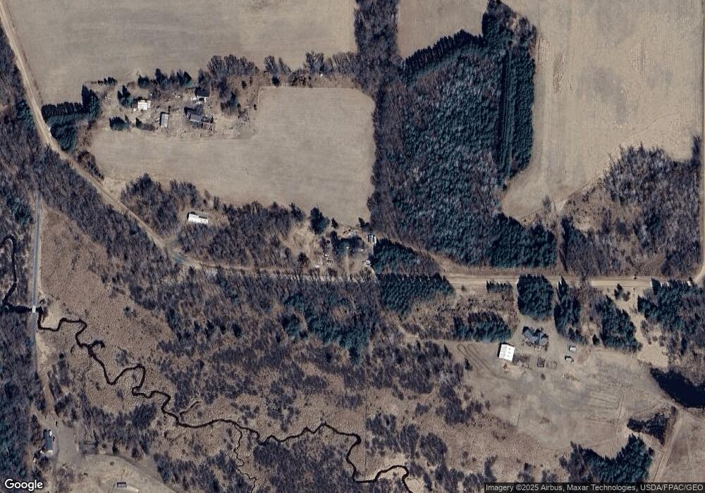
Map
Nearby Homes
- 724 E Lincoln St
- E21504 Karow Rd
- TBD N Center Rd
- TBD State Highway 12 27
- Tbd Hwy 12 27
- 806 Pease St
- S6298 Wisconsin 27
- Tbd Crossover Rd
- 519 W Buckman St
- 812 W Lincoln St Unit 1&2
- 819 W Lincoln St
- S10460 Black Creek Rd
- 000 Oak Dr
- Lot 4 Moe Rd
- N14253 McGower Rd
- W14702 Old Highway 10
- 000 Us Highway 10
- Lot #9 Ladybug Trail
- Lot #8 Ladybug Trail
- Lot #7 Ladybug Trail