S91W22490 Henneberry Ave Big Bend, WI 53103
Estimated Value: $373,000 - $425,000
3
Beds
1
Bath
--
Sq Ft
0.75
Acres
About This Home
This home is located at S91W22490 Henneberry Ave, Big Bend, WI 53103 and is currently estimated at $390,009. S91W22490 Henneberry Ave is a home located in Waukesha County with nearby schools including Big Bend Elementary School, Park View Middle School, and Mukwonago High School.
Ownership History
Date
Name
Owned For
Owner Type
Purchase Details
Closed on
Dec 2, 2022
Sold by
Kurth Deanna and Kurth Randy
Bought by
Kristbaum Sara and Kristbaum Kory
Current Estimated Value
Home Financials for this Owner
Home Financials are based on the most recent Mortgage that was taken out on this home.
Original Mortgage
$170,000
Outstanding Balance
$165,019
Interest Rate
7.08%
Mortgage Type
New Conventional
Estimated Equity
$224,990
Purchase Details
Closed on
Mar 18, 2022
Sold by
Bourdo Dean F
Bought by
Deanna Kurth
Create a Home Valuation Report for This Property
The Home Valuation Report is an in-depth analysis detailing your home's value as well as a comparison with similar homes in the area
Home Values in the Area
Average Home Value in this Area
Purchase History
| Date | Buyer | Sale Price | Title Company |
|---|---|---|---|
| Kristbaum Sara | $140,000 | None Listed On Document | |
| Deanna Kurth | $223,500 | Attorney John C. Schober |
Source: Public Records
Mortgage History
| Date | Status | Borrower | Loan Amount |
|---|---|---|---|
| Open | Kristbaum Sara | $170,000 |
Source: Public Records
Tax History Compared to Growth
Tax History
| Year | Tax Paid | Tax Assessment Tax Assessment Total Assessment is a certain percentage of the fair market value that is determined by local assessors to be the total taxable value of land and additions on the property. | Land | Improvement |
|---|---|---|---|---|
| 2024 | $3,692 | $311,800 | $66,600 | $245,200 |
| 2023 | $3,596 | $311,800 | $66,600 | $245,200 |
| 2022 | $3,105 | $190,800 | $52,500 | $138,300 |
| 2021 | $3,168 | $190,800 | $52,500 | $138,300 |
| 2020 | $3,250 | $190,800 | $52,500 | $138,300 |
| 2019 | $3,118 | $190,800 | $52,500 | $138,300 |
| 2018 | $3,266 | $190,800 | $52,500 | $138,300 |
| 2017 | $3,675 | $190,800 | $52,500 | $138,300 |
| 2016 | $3,083 | $190,800 | $52,500 | $138,300 |
| 2015 | $2,889 | $190,800 | $52,500 | $138,300 |
| 2014 | $3,121 | $190,800 | $52,500 | $138,300 |
| 2013 | $3,121 | $190,800 | $52,500 | $138,300 |
Source: Public Records
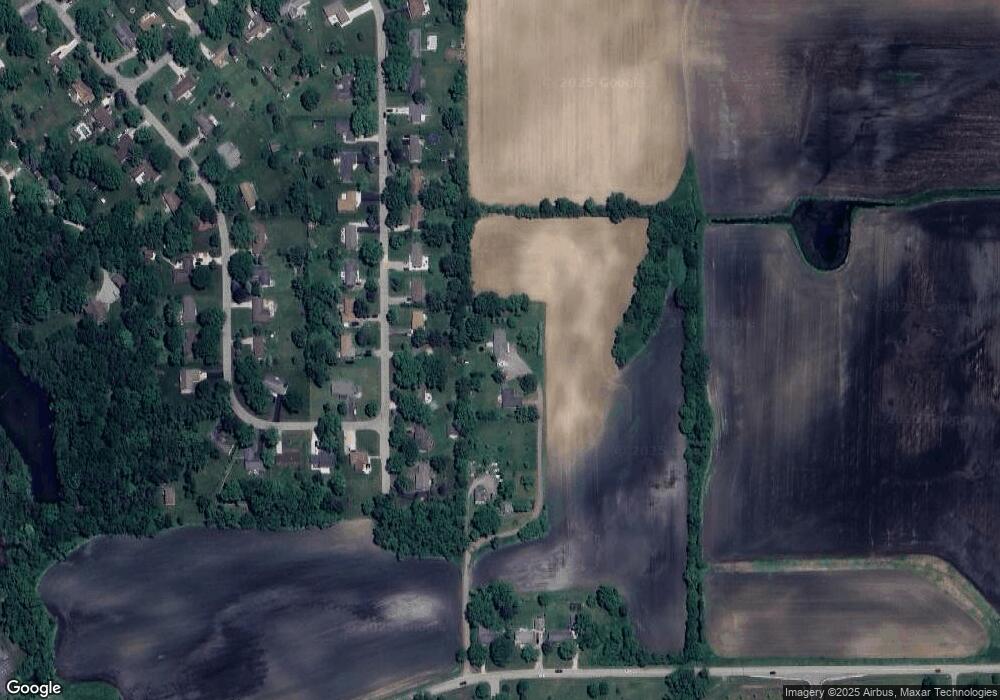
Map
Nearby Homes
- Lt11 Leo Ln
- Lt12 Leo Ln
- Lt7 Leo Ln
- Lt8 Leo Ln
- Lt9 Leo Ln
- Lt10 Leo Ln
- Lt13 Leo Ln
- Lt14 Leo Ln
- Lt15 Leo Ln
- Lt16 Leo Ln
- Lt2 Marianne Ave
- Pcl0 Clark St
- S95W23000 River Oaks Dr
- S95W22835 Bywater Ln
- S96W22870 River Oaks Dr
- S94W23620 Kunzendorf Ct
- S83W23145 Artesian Ave
- W232S8430 Rosemary Dr
- Lt2 Baseler Ct
- Lt3 Madyson Ct
- S92W22480 Henneberry Ave
- W225S9170 Mount Carmel Rd
- W225S9150 Mount Carmel Rd
- W225S9190 Mount Carmel Rd
- W225S9130 Mount Carmel Rd
- S92W22490 Henneberry Ave
- W225S9200 Mount Carmel Rd
- W225S9110 Mount Carmel Rd
- W225S9100 Mount Carmel Rd
- W225S9155 Mount Carmel Rd
- W225S9135 Mount Carmel Rd
- W225S9220 Mount Carmel Rd
- W225S9125 Mount Carmel Rd
- W225S9205 Mount Carmel Rd
- W225S9080 Mount Carmel Rd
- W225S9105 Mount Carmel Rd
- W225S9085 Mount Carmel Rd
- S92W22575 Fatima Dr
- W225S9070 Mount Carmel Rd
- S91W22600 Fatima Dr