SEC 19 Twp 35 N Rng 69e West Wendover, NV 89883
--
Bed
--
Bath
--
Sq Ft
40
Acres
About This Home
This home is located at SEC 19 Twp 35 N Rng 69e, West Wendover, NV 89883. SEC 19 Twp 35 N Rng 69e is a home located in Elko County with nearby schools including West Wendover Elementary School, West Wendover Junior High School, and West Wendover High School.
Ownership History
Date
Name
Owned For
Owner Type
Purchase Details
Closed on
Jan 14, 2022
Sold by
Pablo Delvalle Francisco
Bought by
Johnson Timothy
Purchase Details
Closed on
Jul 21, 2021
Sold by
Lee Miller Katerra
Bought by
Johnson Timothy
Purchase Details
Closed on
Nov 14, 2006
Sold by
Az Land Research Llc
Bought by
Only Land Llc
Purchase Details
Closed on
Apr 6, 2006
Sold by
Zeising Robert C and Zeising Pauline R
Bought by
Zeising Pauline R
Purchase Details
Closed on
Mar 20, 2006
Sold by
Zeising Pauline R
Bought by
Az Land Research Llc
Create a Home Valuation Report for This Property
The Home Valuation Report is an in-depth analysis detailing your home's value as well as a comparison with similar homes in the area
Home Values in the Area
Average Home Value in this Area
Purchase History
| Date | Buyer | Sale Price | Title Company |
|---|---|---|---|
| Johnson Timothy | $20,000 | First American Title | |
| Johnson Timothy | -- | First American Title | |
| Only Land Llc | -- | None Available | |
| Az Land Research Llc | $9,500 | First American Title |
Source: Public Records
Tax History Compared to Growth
Tax History
| Year | Tax Paid | Tax Assessment Tax Assessment Total Assessment is a certain percentage of the fair market value that is determined by local assessors to be the total taxable value of land and additions on the property. | Land | Improvement |
|---|---|---|---|---|
| 2024 | $58 | $2,100 | $2,100 | $0 |
| 2023 | $69 | $2,100 | $2,100 | $0 |
| 2022 | $69 | $2,100 | $2,100 | $0 |
| 2021 | $58 | $2,100 | $2,100 | $0 |
| 2020 | $58 | $2,100 | $2,100 | $0 |
| 2019 | $58 | $2,100 | $2,100 | $0 |
| 2018 | $58 | $2,100 | $2,100 | $0 |
| 2017 | $53 | $2,100 | $2,100 | $0 |
| 2016 | $53 | $2,100 | $2,100 | $0 |
| 2015 | $53 | $2,100 | $2,100 | $0 |
| 2014 | $53 | $2,100 | $2,100 | $0 |
Source: Public Records
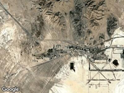
Map
Nearby Homes
- 0 Unit 3626136
- 0 Blm 1578 Rd Unit 3626010
- SEC 11b Twp 35n Rge 69e Mdb&m
- 401 Quaking Aspen Rd
- 0 Pine Cone Dr Unit 1 220015980
- 10 Acres Pilot Rd
- 0 Pilot Rd Unit 3625069
- 0 0 Sec 5 Twp 35n Rge 67e Mdb&m Unit 3626242
- 0 0 Sec 5 Twp 35n Rge 67e Mdb&m Unit 3626243
- 0 0 Sec 5 Twp 35n Rge 67e Mdb&m Unit 3626241
- 0 0 Sec 5 Twp 35n Rge 67e Mdb&m Unit 3626239
- 0 0 Sec 5 Twp 35n Rge 67e Mdb&m Unit 3626240
- 0 0 Sec 5 Twp 35n Rge 67e Mdb&m Unit 3626238
- 0 Sec 17 Twp 33n Rge 70e Mdb&m Unit 3625478
- 0 N Butte St
- 0 Pueblo Blvd Unit 11071957
- 1890 Pueblo Blvd
- 2051 Butte St
- 0 12th St Unit 3624879
- 2947 Sawgrass Ct