TBD 255th Ave McGregor, MN 55760
Estimated Value: $193,000 - $276,000
Studio
--
Bath
--
Sq Ft
1,742,400
Sq Ft Lot
About This Home
This home is located at TBD 255th Ave, McGregor, MN 55760 and is currently estimated at $236,219. TBD 255th Ave is a home located in Aitkin County with nearby schools including McGregor Elementary School and McGregor Secondary School.
Ownership History
Date
Name
Owned For
Owner Type
Purchase Details
Closed on
Jun 20, 2014
Sold by
Christian Shannon Shannon
Bought by
Schmitz Lonn and Schmitz Michele
Current Estimated Value
Home Financials for this Owner
Home Financials are based on the most recent Mortgage that was taken out on this home.
Original Mortgage
$61,500
Outstanding Balance
$46,743
Interest Rate
4.18%
Estimated Equity
$189,476
Purchase Details
Closed on
Nov 1, 2010
Bought by
Schmitz Lonn and Schmitz Michele
Create a Home Valuation Report for This Property
The Home Valuation Report is an in-depth analysis detailing your home's value as well as a comparison with similar homes in the area
Purchase History
| Date | Buyer | Sale Price | Title Company |
|---|---|---|---|
| Schmitz Lonn | $62,000 | -- | |
| Christian Shannon | $60,000 | -- | |
| Schmitz Lonn | $60,000 | -- |
Source: Public Records
Mortgage History
| Date | Status | Borrower | Loan Amount |
|---|---|---|---|
| Open | Schmitz Lonn | $61,500 |
Source: Public Records
Tax History
| Year | Tax Paid | Tax Assessment Tax Assessment Total Assessment is a certain percentage of the fair market value that is determined by local assessors to be the total taxable value of land and additions on the property. | Land | Improvement |
|---|---|---|---|---|
| 2025 | $670 | $132,500 | $118,000 | $14,500 |
| 2024 | $548 | $136,800 | $122,700 | $14,100 |
| 2023 | $446 | $111,800 | $97,700 | $14,100 |
| 2022 | $428 | $82,300 | $73,900 | $8,400 |
| 2021 | $440 | $63,000 | $55,700 | $7,300 |
| 2020 | $468 | $64,000 | $57,400 | $6,600 |
| 2019 | $472 | $64,300 | $57,800 | $6,500 |
| 2018 | $438 | $62,000 | $56,400 | $5,600 |
| 2017 | $458 | $59,400 | $59,400 | $0 |
| 2016 | $438 | $59,600 | $59,600 | $0 |
| 2014 | $402 | $54,000 | $54,000 | $0 |
| 2012 | $3 | $50,400 | $50,400 | $0 |
Source: Public Records
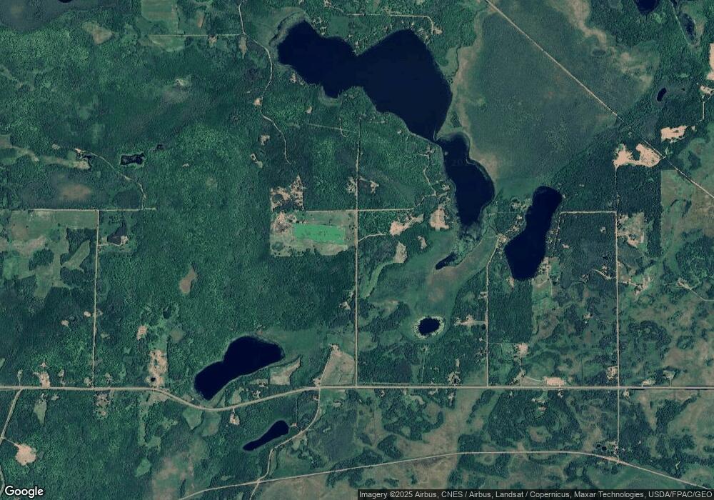
Map
Nearby Homes
- 23201 Grouse St
- TBD 217th Ave
- 50340 217th Ave
- TBD 235th Place
- TBD Frog Island
- 51639 209th Place
- 20523 493rd Ln
- 49760 202nd Place
- 49734 202nd Place
- 51992 209th Place
- 48228 207th Ave
- TBDxx Lake Ave
- 50796 202nd Place
- 51325 Great River Rd
- 47190
- XxXx Fairway View Ln
- 51156 189th Ave
- 48525 194th Place
- 19409 529th Ln
- 48411 196th Place
- 0 255th Ave Unit 4172272
- TBD 225th Ave
- 50513 225th Ave
- 50582 State Highway 65
- 50754 225th Ave
- 50203 State Highway 65
- 50586 State Highway 65
- 50620 State Highway 65
- 49920 225th Ave
- 50590 State Highway 65
- 50624 State Highway 65
- TBD Grouse St
- 49999 225th Ave
- 22663 Grouse St
- 50160 State Highway 65
- 50115 Long Point Place
- 50119 Long Point Place
- 50013 State Highway 65
- 50013 State Highway 65
- 22871 Grouse St
Your Personal Tour Guide
Ask me questions while you tour the home.