TBD Aspen Ct Nisswa, MN 56468
Estimated Value: $724,000 - $1,255,975
--
Bed
--
Bath
2,334
Sq Ft
$445/Sq Ft
Est. Value
About This Home
This home is located at TBD Aspen Ct, Nisswa, MN 56468 and is currently estimated at $1,039,244, approximately $445 per square foot. TBD Aspen Ct is a home located in Crow Wing County with nearby schools including Nisswa Elementary School, Forestview Middle School, and Brainerd Senior High School.
Ownership History
Date
Name
Owned For
Owner Type
Purchase Details
Closed on
Aug 22, 2014
Sold by
Mady Michael Michael
Bought by
Turner Louis and Turner Barbara
Current Estimated Value
Purchase Details
Closed on
Aug 1, 2014
Sold by
Mady Michael and Mady Christine
Bought by
Turner Louis and Turner Barbara
Purchase Details
Closed on
Nov 1, 2010
Sold by
Mady Michael and Mady Christine
Bought by
Olson Derrick D and Olson Deborah J
Purchase Details
Closed on
Jun 1, 1999
Bought by
Mady Michael and Mady Christine
Create a Home Valuation Report for This Property
The Home Valuation Report is an in-depth analysis detailing your home's value as well as a comparison with similar homes in the area
Home Values in the Area
Average Home Value in this Area
Purchase History
| Date | Buyer | Sale Price | Title Company |
|---|---|---|---|
| Turner Louis | $126,000 | -- | |
| Turner Louis | $126,000 | -- | |
| Olson Derrick D | $135,000 | -- | |
| Mady Michael | $45,000 | -- |
Source: Public Records
Tax History Compared to Growth
Tax History
| Year | Tax Paid | Tax Assessment Tax Assessment Total Assessment is a certain percentage of the fair market value that is determined by local assessors to be the total taxable value of land and additions on the property. | Land | Improvement |
|---|---|---|---|---|
| 2025 | $9,728 | $1,198,600 | $298,700 | $899,900 |
| 2024 | $9,728 | $1,084,700 | $237,200 | $847,500 |
| 2023 | $6,976 | $889,400 | $217,500 | $671,900 |
| 2022 | $6,252 | $767,300 | $167,200 | $600,100 |
| 2021 | $6,768 | $570,300 | $124,900 | $445,400 |
| 2020 | $6,732 | $591,500 | $141,800 | $449,700 |
| 2019 | $6,490 | $582,800 | $131,200 | $451,600 |
| 2018 | $5,774 | $552,500 | $130,600 | $421,900 |
| 2017 | $5,886 | $529,000 | $130,700 | $398,300 |
| 2016 | $1,136 | $110,900 | $110,900 | $0 |
| 2015 | $968 | $94,400 | $94,400 | $0 |
| 2014 | $487 | $94,400 | $94,400 | $0 |
Source: Public Records
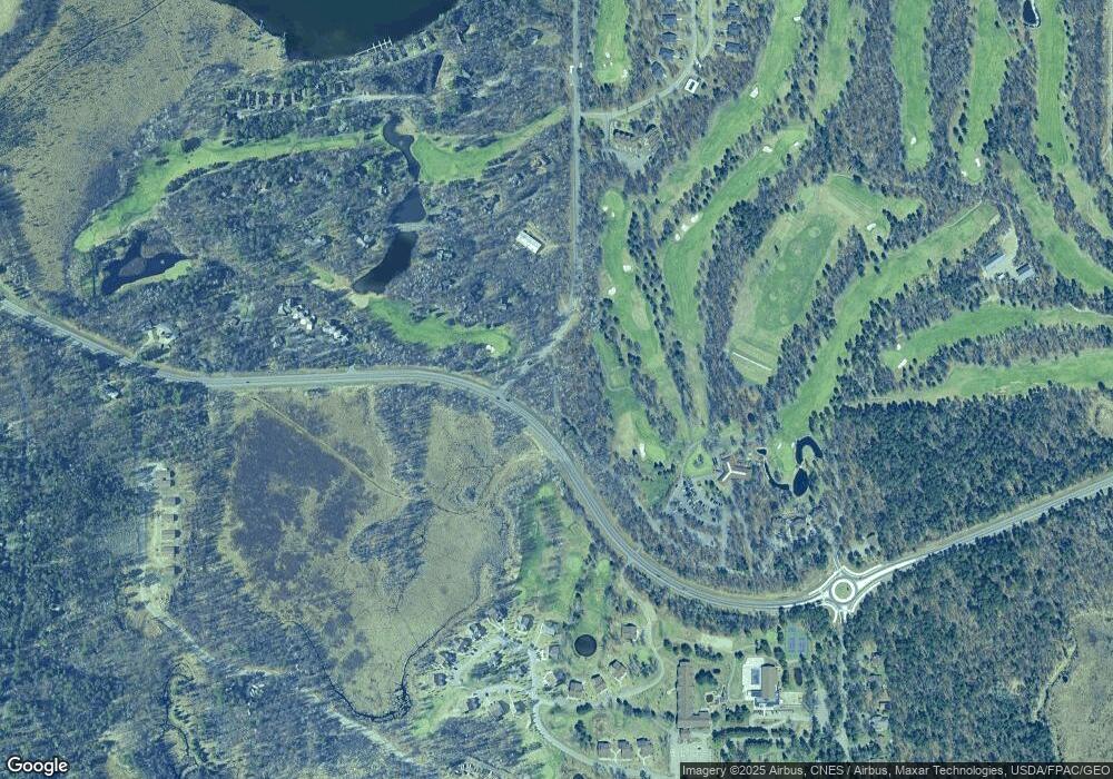
Map
Nearby Homes
- 24228 Aspen Dr
- 24197 Willow Cir
- 7714 Interlachen Rd
- 24523 Brownie Way
- 23740 Nokomis Ave Unit 179
- 8566 Waseya Woods Dr
- 7996 Bass Lake Trail
- 8038 Lost Lake Rd
- 8038 Lost Lake Rd
- 8038 Lost Lake Rd Unit 220
- 7984 Bass Lake Trail
- 8298 Gullwood Rd
- 7966 Lost Lake Rd
- TBD Roy Lake Dr
- 4117 Roy Lake Dr
- 4334 Roy Lake Dr
- 948 Bass Lake Rd
- 5152 Crossroads Unit 16
- 8098 Channel View Unit 2
- 24719 Cove Trail
- 24200 Aspen Dr
- 24190 Aspen Dr
- 24084 Spruce Ct
- 24216 Aspen Dr
- 24078 Schaeffers Point Rd
- 24078 24078 Spruce Ct
- 24078 W Pine Ct
- 24078 W Pine Ct Unit 687
- 24180 Aspen Dr
- 24074 Spruce Ct
- 24088 Spruce Ct
- 24066 Schaeffers Point Rd
- 24066 W Pine Ct
- 24062 Spruce Ct
- 24058 24058 Spruce-Court-
- 24058 W Pine Ct
- 24048 Spruce Ct
- 24044 Spruce Ct
- TBD W Pine Ct
- 24222 Aspen Dr