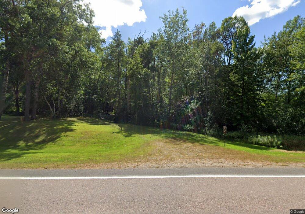
TBD Co Rd 118 Merrifield, MN 56465
Estimated Value: $596,000
--
Bed
--
Bath
--
Sq Ft
48.81
Acres
About This Home
This home is located at TBD Co Rd 118, Merrifield, MN 56465 and is currently estimated at $596,000. TBD Co Rd 118 is a home located in Crow Wing County with nearby schools including Cuyuna Range Elementary School and Crosby-Ironton Secondary School.
Ownership History
Date
Name
Owned For
Owner Type
Purchase Details
Closed on
Jul 31, 2025
Sold by
Scheffler Troy Kenneth
Bought by
Scheffler Troy Kenneth
Current Estimated Value
Purchase Details
Closed on
May 30, 2017
Sold by
Johnson Robin Robin
Bought by
Kirchner Steven and Kirchner Diane
Purchase Details
Closed on
Mar 28, 2016
Sold by
Gratz William James and Gratz Shelby
Bought by
Johnson Robin and Roberta Ann
Home Financials for this Owner
Home Financials are based on the most recent Mortgage that was taken out on this home.
Original Mortgage
$70,000
Interest Rate
3.65%
Create a Home Valuation Report for This Property
The Home Valuation Report is an in-depth analysis detailing your home's value as well as a comparison with similar homes in the area
Home Values in the Area
Average Home Value in this Area
Purchase History
| Date | Buyer | Sale Price | Title Company |
|---|---|---|---|
| Scheffler Troy Kenneth | $500 | None Listed On Document | |
| Kirchner Steven | $10,000 | -- | |
| Johnson Robin | $80,000 | -- | |
| Johnson Robin | $70,000 | -- |
Source: Public Records
Mortgage History
| Date | Status | Borrower | Loan Amount |
|---|---|---|---|
| Previous Owner | Johnson Robin | $70,000 |
Source: Public Records
Tax History Compared to Growth
Tax History
| Year | Tax Paid | Tax Assessment Tax Assessment Total Assessment is a certain percentage of the fair market value that is determined by local assessors to be the total taxable value of land and additions on the property. | Land | Improvement |
|---|---|---|---|---|
| 2025 | $526 | $99,300 | $99,300 | $0 |
| 2024 | $526 | $90,300 | $90,300 | $0 |
| 2023 | $1,902 | $96,900 | $96,900 | $0 |
| 2022 | $562 | $96,900 | $96,900 | $0 |
| 2021 | $582 | $68,900 | $68,900 | $0 |
| 2020 | $552 | $68,900 | $68,900 | $0 |
| 2019 | $552 | $61,000 | $61,000 | $0 |
| 2018 | $330 | $61,100 | $61,100 | $0 |
| 2017 | $572 | $54,000 | $54,000 | $0 |
| 2016 | $582 | $65,800 | $65,800 | $0 |
| 2015 | $394 | $65,800 | $65,800 | $0 |
| 2014 | $205 | $67,600 | $67,600 | $0 |
Source: Public Records
Map
Nearby Homes
- 26363 County Road 3
- 13309 Ossipee Rd
- 13893 County Road 116
- Lot 2 County Road 4
- 13632 Piney Ln
- 24126 County Road 19
- 23829 Bulrush Dr
- 14713 Lazur Ln
- TBD Gunpowder Rd
- TBD Tract D Gunpowder Rd
- TBD Lot C Gunpowder Rd
- 23442 Rebel Rd
- 23235 Anderson Blvd
- 13084 Mission Park Dr
- 27181 Ridgewood Dr
- 11292 Half Moon Dr
- 9197 Morrison Ln
- 27354 County Road 4
- Parcel F SW Horseshoe Lake Rd
- 26190 Valentines Way
- XXX County Road 118
- 12167 Eagle View Trail
- 12133 Eagle View Trail
- 12145 Eagle View Trail
- 12175 Eagle View Trail
- 12215 Eagle View Trail
- 12195 Eagle View Trail
- 12195 Eagle View Trail
- 12103 Eagle View Trail
- 12097 Eagle View Trail
- 12079 Eagle View Trail
- 12249 Eagle View Trail
- 12255 Eagle View Trail
- 26359 Shandy Trail
- 12049 Eagle View Trail
- XXX County Rd 118
- 12011 Eagle View Trail
- 12261 Eagle View Trail
- TBD Eagle View Trail
- xxx Eagle View Trail