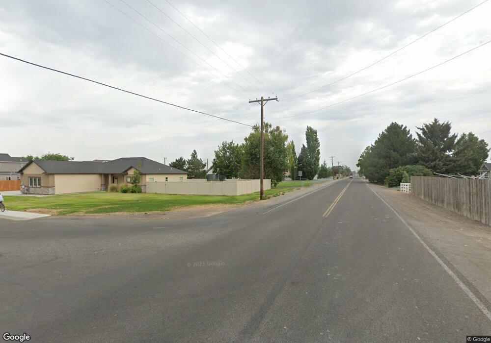
TBD Gem Dr. Lot 14 Block 6 Kimberly, ID 83341
Estimated Value: $389,000 - $433,000
5
Beds
4
Baths
1,746
Sq Ft
$240/Sq Ft
Est. Value
About This Home
This home is located at TBD Gem Dr. Lot 14 Block 6, Kimberly, ID 83341 and is currently estimated at $418,477, approximately $239 per square foot. TBD Gem Dr. Lot 14 Block 6 is a home located in Twin Falls County with nearby schools including Kimberly Elementary School, STRICKER ELEMENTARY SCHOOL, and Kimberly Middle School.
Ownership History
Date
Name
Owned For
Owner Type
Purchase Details
Closed on
Sep 13, 2022
Sold by
Fife and Wendy
Bought by
Weshinskey Michael and Weshinskey Tiffany
Current Estimated Value
Home Financials for this Owner
Home Financials are based on the most recent Mortgage that was taken out on this home.
Original Mortgage
$307,500
Outstanding Balance
$293,295
Interest Rate
5.22%
Mortgage Type
New Conventional
Estimated Equity
$125,182
Purchase Details
Closed on
Sep 6, 2018
Sold by
Tko Homes Llc
Bought by
Fife Jeremy
Home Financials for this Owner
Home Financials are based on the most recent Mortgage that was taken out on this home.
Original Mortgage
$223,207
Interest Rate
4.5%
Mortgage Type
New Conventional
Purchase Details
Closed on
Apr 18, 2018
Sold by
Ledbetter Gary R and Ledbetter Ann M
Bought by
Tko Homes Llc
Create a Home Valuation Report for This Property
The Home Valuation Report is an in-depth analysis detailing your home's value as well as a comparison with similar homes in the area
Home Values in the Area
Average Home Value in this Area
Purchase History
| Date | Buyer | Sale Price | Title Company |
|---|---|---|---|
| Weshinskey Michael | -- | First American Title | |
| Fife Jeremy | -- | First American Title | |
| Tko Homes Llc | -- | First American Title |
Source: Public Records
Mortgage History
| Date | Status | Borrower | Loan Amount |
|---|---|---|---|
| Open | Weshinskey Michael | $307,500 | |
| Previous Owner | Fife Jeremy | $223,207 |
Source: Public Records
Tax History Compared to Growth
Tax History
| Year | Tax Paid | Tax Assessment Tax Assessment Total Assessment is a certain percentage of the fair market value that is determined by local assessors to be the total taxable value of land and additions on the property. | Land | Improvement |
|---|---|---|---|---|
| 2025 | $2,546 | $393,360 | $84,524 | $308,836 |
| 2024 | $2,546 | $396,868 | $84,524 | $312,344 |
| 2023 | $2,595 | $424,949 | $84,524 | $340,425 |
| 2022 | $3,316 | $396,843 | $63,493 | $333,350 |
| 2021 | $2,566 | $278,611 | $45,931 | $232,680 |
| 2020 | $2,259 | $233,101 | $45,931 | $187,170 |
| 2019 | $127 | $222,968 | $38,168 | $184,800 |
| 2018 | $606 | $31,709 | $31,709 | $0 |
| 2017 | $624 | $31,709 | $31,709 | $0 |
| 2016 | $649 | $31,709 | $0 | $0 |
| 2015 | $652 | $31,709 | $31,709 | $0 |
| 2012 | -- | $33,378 | $0 | $0 |
Source: Public Records
Map
Nearby Homes
- 905 Main St S
- 924 Main St S
- 3613 N 3480 E
- Lot 12
- 160 Maxine Ln
- Plan 4 at Patterson Farms
- Plan 3 at Patterson Farms
- Plan 2 at Patterson Farms
- Plan 1 at Patterson Farms
- 178 Maxine Ln
- 4035 N 3510 E
- 214 Maxine Ln
- 4022 N 3536 E
- 258 Maxine Ln
- 276 Maxine Ln
- 1111 Cole St
- 277 Maxine Ln
- 1131 Cole St
- 209 Brentwood Dr
- 1220 Cole St