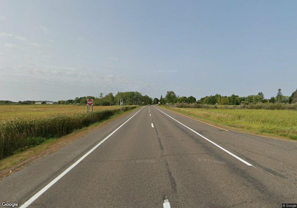
TBD Highway 210 McGregor, MN 55760
Estimated Value: $509,964
Studio
--
Bath
8,418
Sq Ft
$61/Sq Ft
Est. Value
About This Home
This home is located at TBD Highway 210, McGregor, MN 55760 and is currently estimated at $509,964, approximately $60 per square foot. TBD Highway 210 is a home located in Aitkin County with nearby schools including McGregor Elementary School and McGregor Secondary School.
Ownership History
Date
Name
Owned For
Owner Type
Purchase Details
Closed on
Apr 30, 2013
Current Estimated Value
Home Financials for this Owner
Home Financials are based on the most recent Mortgage that was taken out on this home.
Original Mortgage
$237,500
Outstanding Balance
$169,198
Interest Rate
3.6%
Estimated Equity
$340,766
Purchase Details
Closed on
Apr 1, 2013
Bought by
Unity Investment Group Llc
Home Financials for this Owner
Home Financials are based on the most recent Mortgage that was taken out on this home.
Original Mortgage
$237,500
Outstanding Balance
$169,198
Interest Rate
3.6%
Estimated Equity
$340,766
Create a Home Valuation Report for This Property
The Home Valuation Report is an in-depth analysis detailing your home's value as well as a comparison with similar homes in the area
Purchase History
| Date | Buyer | Sale Price | Title Company |
|---|---|---|---|
| -- | $237,500 | -- | |
| Unity Investment Group Llc | $237,500 | -- |
Source: Public Records
Mortgage History
| Date | Status | Borrower | Loan Amount |
|---|---|---|---|
| Open | -- | $237,500 |
Source: Public Records
Tax History
| Year | Tax Paid | Tax Assessment Tax Assessment Total Assessment is a certain percentage of the fair market value that is determined by local assessors to be the total taxable value of land and additions on the property. | Land | Improvement |
|---|---|---|---|---|
| 2025 | $6,016 | $249,300 | $29,900 | $219,400 |
| 2024 | $5,712 | $230,200 | $29,900 | $200,300 |
| 2023 | $6,108 | $221,400 | $27,000 | $194,400 |
| 2022 | $8,342 | $221,400 | $27,000 | $194,400 |
| 2021 | $7,838 | $220,400 | $26,000 | $194,400 |
| 2020 | $7,980 | $220,400 | $26,000 | $194,400 |
| 2019 | $8,786 | $220,400 | $26,000 | $194,400 |
| 2018 | $8,824 | $230,600 | $26,000 | $204,600 |
| 2017 | $8,972 | $230,600 | $26,000 | $204,600 |
| 2016 | $9,276 | $230,600 | $26,000 | $204,600 |
| 2014 | $8,220 | $235,500 | $30,900 | $204,600 |
| 2012 | $82 | $248,000 | $32,600 | $215,400 |
Source: Public Records
Map
Nearby Homes
- 255 N Maddy St
- 20 S Main St
- 41844 255th Ave
- 41988 251st Place
- 43950 200th Ave
- 47190
- XxXx Fairway View Ln
- 47011 185th Ave
- 47114 188th Ave
- 184th 184th St
- 48228 207th Ave
- 48411 196th Place
- 39769 Kestrel Ave
- 47458 182nd Ave
- 18043 476th Ln
- 40884 Nature Ave
- TBD 484th St
- 48525 194th Place
- 29706 Kestrel Ave
- 1xxx 460th Ln
- 243 W Highway 210
- 243 Minnesota 210
- 241 Minnesota 210
- 237 Minnesota 210
- 230 N Maddy St
- 242 W Highway 210
- 242 W 210 Hwy
- 249 N Maddy St
- 229 N Maddy St
- 211 N Maddy St
- 253 N Maddy St
- 255 N Maddy St
- 00 State Hwy 210
- 259 N Maddy St
- 201 N Maddy St
- 11 Hesper St
- 13 Hesper St
- 174 N Maddy St
- 11 11 Hesper St
- xxx State Highway 210
Your Personal Tour Guide
Ask me questions while you tour the home.
