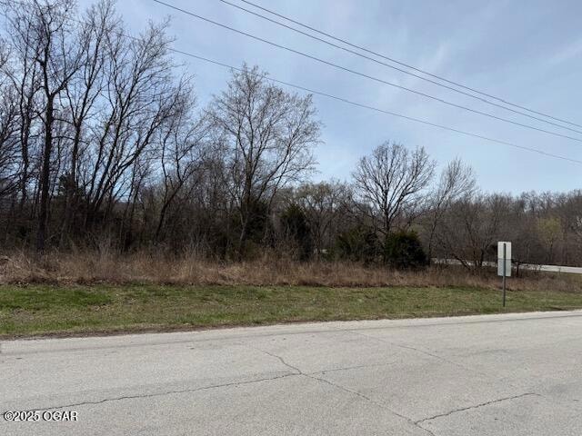
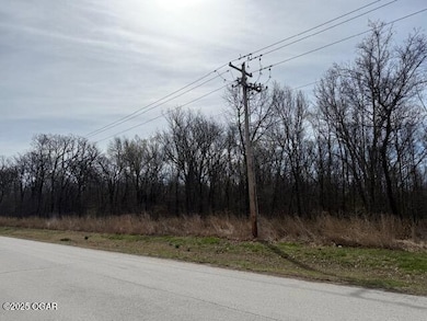
TBD Hwy 171 and Gum Rd Carl Junction, MO 64834
Estimated payment $6,409/month
About This Lot
Let your imagination go wild with 32.33 acres for multiple opportunities and needs! Easy access on both sides.
Property Details
Property Type
- Land
Est. Annual Taxes
- $21
Lot Details
- 32 Acre Lot
Listing and Financial Details
- Assessor Parcel Number 16501520004003000
Map
Home Values in the Area
Average Home Value in this Area
Tax History
| Year | Tax Paid | Tax Assessment Tax Assessment Total Assessment is a certain percentage of the fair market value that is determined by local assessors to be the total taxable value of land and additions on the property. | Land | Improvement |
|---|---|---|---|---|
| 2023 | $21 | $420 | $420 | $0 |
| 2022 | $21 | $420 | $420 | $0 |
| 2021 | $21 | $420 | $420 | $0 |
| 2020 | $21 | $420 | $420 | $0 |
| 2019 | $20 | $420 | $420 | $0 |
| 2018 | $22 | $450 | $0 | $0 |
| 2017 | $22 | $450 | $0 | $0 |
| 2016 | $21 | $450 | $0 | $0 |
| 2015 | $20 | $450 | $0 | $0 |
| 2014 | $20 | $430 | $0 | $0 |
Property History
| Date | Event | Price | Change | Sq Ft Price |
|---|---|---|---|---|
| 05/23/2025 05/23/25 | Pending | -- | -- | -- |
| 03/21/2025 03/21/25 | For Sale | $1,150,000 | -- | -- |
Source: Ozark Gateway Association of REALTORS®
MLS Number: 251406
APN: 16-5.0-15-20-004-003.000
Disclaimer: Certain information contained herein is derived from information provided by parties other than Homes.com. All information provided is deemed reliable, but is not guaranteed to be accurate and should be independently verified.
![]() IDX information is provided exclusively for personal, non-commercial use, and may not be used for any purpose other than to identify prospective properties consumers may be interested in purchasing. Information is deemed reliable but not guaranteed.
IDX information is provided exclusively for personal, non-commercial use, and may not be used for any purpose other than to identify prospective properties consumers may be interested in purchasing. Information is deemed reliable but not guaranteed.
- 305 Dogwood Trails Loop
- 409 Dogwood Trail Loop
- 303 Metalwood Cir
- 109 Bogey Cir
- 721 Kara Ln
- 716 Kara Ln
- 113 Anita Dr
- 101 Van Dusen Dr
- 104 Van Dusen Dr
- XXX Lone Elm
- 107 Foursome Ln
- 204 Bair Dr
- 307 Anita Dr
- 104 Randolph Dr
- 25122 Gum Rd
- 111 Zachary Ln
- 105 Zachary Ln
- 103 Zachary Ln
- 25479 Tabor Main Rd
- 102 Zachary Ln
