TBD Lawson Rd Fort Ripley Township, MN 56449
Estimated Value: $580,000 - $600,362
3
Beds
3
Baths
2,997
Sq Ft
$197/Sq Ft
Est. Value
About This Home
This home is located at TBD Lawson Rd, Fort Ripley Township, MN 56449 and is currently estimated at $591,454, approximately $197 per square foot. TBD Lawson Rd is a home located in Crow Wing County with nearby schools including Riverside Elementary School, Forestview Middle School, and Brainerd Senior High School.
Ownership History
Date
Name
Owned For
Owner Type
Purchase Details
Closed on
May 19, 2023
Sold by
Derosier Sandy and Laree L Pickar Trust
Bought by
Pickar Timothy R
Current Estimated Value
Purchase Details
Closed on
May 1, 2013
Sold by
Denny Tania
Bought by
Dircks Nicolas and Dircks Amy
Purchase Details
Closed on
Jan 1, 2013
Sold by
Gilson Thomas and Gilson Cheryl
Bought by
Denny Tania
Purchase Details
Closed on
Aug 1, 2005
Sold by
Gangestad Felix and Gangestad Tammy
Bought by
Gilson Thomas and Gilson Cheryl
Create a Home Valuation Report for This Property
The Home Valuation Report is an in-depth analysis detailing your home's value as well as a comparison with similar homes in the area
Home Values in the Area
Average Home Value in this Area
Purchase History
| Date | Buyer | Sale Price | Title Company |
|---|---|---|---|
| Pickar Timothy R | $500 | None Listed On Document | |
| Dircks Nicolas | $50,000 | -- | |
| Denny Tania | $46,500 | -- | |
| Gilson Thomas | $71,700 | -- |
Source: Public Records
Tax History Compared to Growth
Tax History
| Year | Tax Paid | Tax Assessment Tax Assessment Total Assessment is a certain percentage of the fair market value that is determined by local assessors to be the total taxable value of land and additions on the property. | Land | Improvement |
|---|---|---|---|---|
| 2025 | $3,018 | $568,700 | $133,400 | $435,300 |
| 2024 | $3,018 | $481,400 | $122,100 | $359,300 |
| 2023 | $3,204 | $515,400 | $91,200 | $424,200 |
| 2022 | $3,128 | $492,900 | $83,500 | $409,400 |
| 2021 | $3,070 | $372,600 | $66,800 | $305,800 |
| 2020 | $2,664 | $351,200 | $69,000 | $282,200 |
| 2019 | $2,572 | $314,900 | $64,800 | $250,100 |
| 2018 | $2,176 | $301,600 | $64,700 | $236,900 |
| 2017 | $2,118 | $277,388 | $62,597 | $214,791 |
| 2016 | $2,366 | $273,500 | $61,000 | $212,500 |
| 2015 | $1,530 | $170,400 | $58,100 | $112,300 |
| 2014 | $172 | $44,400 | $44,400 | $0 |
Source: Public Records
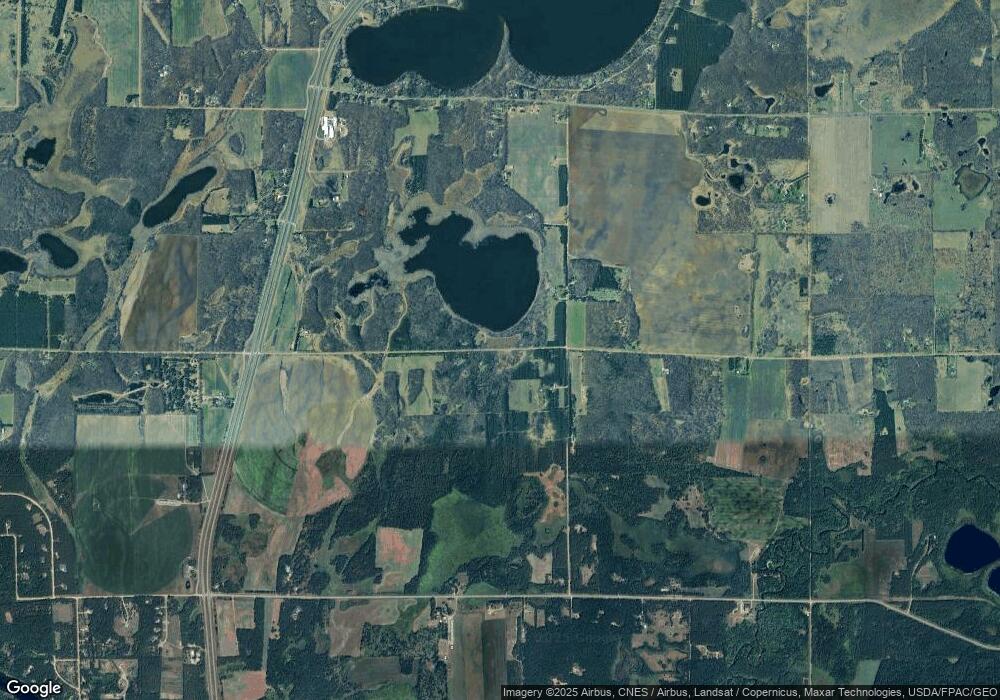
Map
Nearby Homes
- 5471 Crow Wing Lake Rd
- 2761 Mississippi Shores Rd
- TBD 263rd St
- 15576 263rd St
- 8624 50th Ave
- TBD State Highway 371
- TBD 4.38 Acres 13th Ave SW
- 13946 Hardy Lake Rd SW
- TBD Timber Ridge Dr
- 13869 Hardy Lake Rd SW
- 6740 Saint Mathias Rd
- 25988 185th Ave
- 5688 Erin Rd
- Tract B Richfield Rd
- Tract C Richfield Rd
- Tract A Richfield Rd
- 6440 Estate Dr
- 6207 Brandon Way
- 8695 Dosh Ln
- 20176 263rd St
- 2555 Lawson Rd
- 2573 Lawson Rd
- 2897 Lawson Rd
- 3845 Meyer Rd
- SENE Meyer Rd
- 3159 Lawson Rd
- 3680 Meyer Rd
- 4288 Meyer Rd
- 3246 Leonard Ln
- 4505 Meyer Rd
- 3270 Meyer Rd
- 3387 Lawson Rd
- 2722 County Road 2
- 2745 Sleepy Hollow Rd
- 4544 State Highway 371
- 2522 County Road 2
- 3057 Meyer Rd
- 2731 County Road 2
- 4761 Meyer Rd
- 2938 Pebble Ln