


Estimated payment $455/month
Total Views
4,448
79
Acres
$879
Price per Acre
3,445,160
Sq Ft Lot
About This Lot
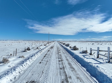
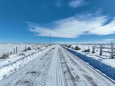
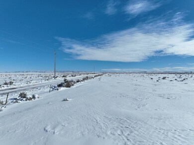
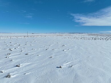
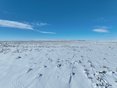
This Eastern Oregon acreage is located along county maintained Ruh-Red Road between Highway 205 & Highway 78. Power runs along the northern property line & the acreage is partially fenced to the north & west. With the ideal location along a county road this would make a great getaway or potential homesite. LEGAL DESC.: T25s R32e W.M. Sec 27 TL 1300; ACREAGE: 79.09 +/- Acres; TAXES: $28.71 (Farm Deferral); UTILITIES: Power (Harney Electric); FINANCING: Cash or bank
Property Details
Property Type
- Land
Lot Details
- 79.09 Acre Lot
Map
Create a Home Valuation Report for This Property
The Home Valuation Report is an in-depth analysis detailing your home's value as well as a comparison with similar homes in the area
Home Values in the Area
Average Home Value in this Area
Property History
| Date | Event | Price | Change | Sq Ft Price |
|---|---|---|---|---|
| 02/06/2025 02/06/25 | For Sale | $69,500 | -- | -- |
Source: NY State MLS
Similar Property in Burns, OR
Source: NY State MLS
MLS Number: 11429368
Disclaimer: Certain information contained herein is derived from information provided by parties other than Homes.com. All information provided is deemed reliable, but is not guaranteed to be accurate and should be independently verified.
![]() IDX information is provided exclusively for personal, non-commercial use, and may not be used for any purpose other than to identify prospective properties consumers may be interested in purchasing. Information is deemed reliable but not guaranteed.
IDX information is provided exclusively for personal, non-commercial use, and may not be used for any purpose other than to identify prospective properties consumers may be interested in purchasing. Information is deemed reliable but not guaranteed.
Nearby Homes
- TL 1300 Ruh-Red Rd S
- 0 Ruh-Red Rd S
- TBD Weaver Springs Rd
- 61687 Lawen Rd
- 15 miles S Oregon 205
- TBD Oregon 205
- TL 2700 L5 Ln
- 31597 Dog Mountain Ln
- 31454 Weaver Springs Ln
- 29975 Sunset Valley Ln
- TBD Sunset Valley Rd
- TL 6200 Weaver Springs Rd
- TL 2900 Weaver Springs Rd
- Off Weaver Springs Rd
- 30040 Weaver Springs Rd
- TBA Embree Bridge Rd
- TL1500 McCanna Rd
- 1500 McCanna Rd
- 0 McCanna Rd Unit 1500 220196448
- TL 3000 Oil Well Rd