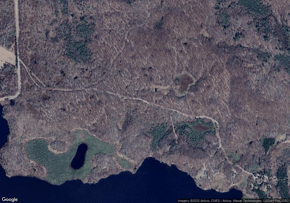
Tract B 637th Ln Jacobson, MN 55752
Estimated Value: $54,103
1
Bed
--
Bath
--
Sq Ft
4.3
Acres
About This Home
This home is located at Tract B 637th Ln, Jacobson, MN 55752 and is currently estimated at $54,103. Tract B 637th Ln is a home located in Aitkin County with nearby schools including McGregor Elementary School and McGregor Secondary School.
Ownership History
Date
Name
Owned For
Owner Type
Purchase Details
Closed on
Dec 15, 2021
Bought by
Darlow Ernest Ernest
Current Estimated Value
Home Financials for this Owner
Home Financials are based on the most recent Mortgage that was taken out on this home.
Interest Rate
3.1%
Purchase Details
Closed on
Oct 25, 2021
Home Financials for this Owner
Home Financials are based on the most recent Mortgage that was taken out on this home.
Interest Rate
3.1%
Purchase Details
Closed on
Oct 1, 1993
Bought by
Flynn Timothy G and Flynn Renee J
Create a Home Valuation Report for This Property
The Home Valuation Report is an in-depth analysis detailing your home's value as well as a comparison with similar homes in the area
Home Values in the Area
Average Home Value in this Area
Purchase History
| Date | Buyer | Sale Price | Title Company |
|---|---|---|---|
| Darlow Ernest Ernest | $40,000 | -- | |
| -- | $20,000 | -- | |
| Flynn Timothy G | $15,500 | -- |
Source: Public Records
Mortgage History
| Date | Status | Borrower | Loan Amount |
|---|---|---|---|
| Closed | Darlow Ernest Ernest | -- | |
| Previous Owner | -- | -- |
Source: Public Records
Tax History Compared to Growth
Tax History
| Year | Tax Paid | Tax Assessment Tax Assessment Total Assessment is a certain percentage of the fair market value that is determined by local assessors to be the total taxable value of land and additions on the property. | Land | Improvement |
|---|---|---|---|---|
| 2025 | $200 | $46,100 | $43,700 | $2,400 |
| 2024 | $184 | $45,400 | $43,000 | $2,400 |
| 2023 | $164 | $41,600 | $40,400 | $1,200 |
| 2022 | $224 | $33,500 | $32,300 | $1,200 |
| 2021 | $244 | $31,800 | $30,900 | $900 |
| 2020 | $250 | $34,100 | $33,200 | $900 |
| 2019 | $258 | $33,500 | $32,700 | $800 |
| 2018 | $288 | $33,400 | $32,600 | $800 |
| 2017 | $270 | $35,300 | $34,500 | $800 |
| 2016 | $284 | $36,800 | $36,000 | $800 |
| 2014 | $312 | $38,100 | $37,300 | $800 |
| 2012 | $8 | $96,100 | $94,400 | $1,700 |
Source: Public Records
Map
Nearby Homes
- TBD 640th Ln
- 20389 640th Ln
- TBD Minnesota 65
- 18300 672nd Ln
- 63219 Great River Rd
- 65997 Great River Rd
- 22781 579th St
- 25464 560th St
- Tbd Sago 5
- TBD Sago 5
- 17801 County Road 433
- 18100 526th St
- 12637 Township Road A
- 51879 186th Place
- 51992 209th Place
- TBD, xxx Lake Ave
- 51639 209th Place
- 22325 519th Ln
- 51256 207th Place
- 51122 Long Point Place
- Tract A 183rd Place
- 63636 183rd Place
- 18211 637th Ln
- 63601 183rd Place
- TBD 183rd Place
- 18187 637th Ln
- 18473 637th Ln
- 63058 Loon Ave
- 55752 Minnesota 200
- TBD Loon Ave
- 62907 Loon Ave
- 63291 Loon Ave
- tbd Cr 448
- TBD 640 Th Ln
- 0 Unassigned Address Unit 3978235
- 0 Unassigned Address Unit 4041272
- 0 Unassigned Address Unit 4124367
- xxx Xxx Loon-Avenue-
- xxxxx Xxxxx Loon Ave
- TBD Tbd Loon Ave Unit TBD Loon Avenue
