
Seller's Agent in 2019
David Childress
Howard Hanna
(330) 620-8460
6 Total Sales


Estimated Value: $310,000 - $485,000
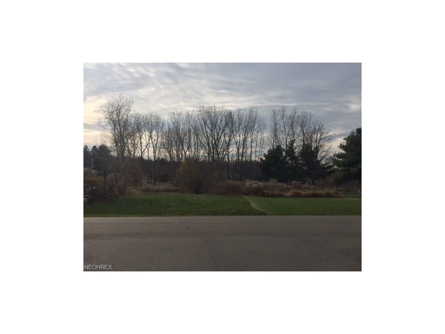
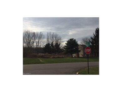
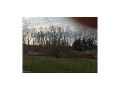
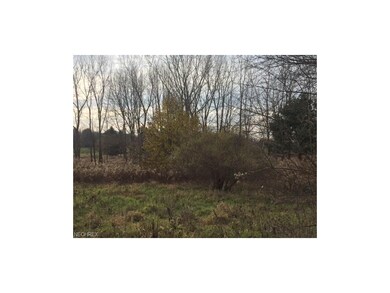
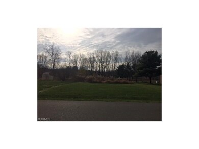
Last buildable lot on Melanie Dr. in Green. Over 1/2 acre in this great community. Walk to the new Green Park and playground. Close to I77 and all nearby amenities. Shopping at Market District, Acme, Walmart, Lowes, Home Depot, restaurants, movies and more.
Last Agent to Sell the Property
Howard Hanna License #2003018349 Listed on: 12/04/2017
| Date | Buyer | Sale Price | Title Company |
|---|---|---|---|
| Mitrevski Ace | $40,000 | Title One |
| Date | Status | Borrower | Loan Amount |
|---|---|---|---|
| Open | Adkins Matthew B | $279,000 | |
| Closed | Adkins Matthew | $255,000 |
| Date | Event | Price | Change | Sq Ft Price |
|---|---|---|---|---|
| 03/27/2019 03/27/19 | Sold | $45,000 | -18.2% | -- |
| 03/19/2019 03/19/19 | Pending | -- | -- | -- |
| 02/19/2019 02/19/19 | Price Changed | $55,000 | -3.5% | -- |
| 12/04/2018 12/04/18 | Price Changed | $57,000 | -3.4% | -- |
| 11/15/2018 11/15/18 | Price Changed | $59,000 | -11.9% | -- |
| 05/10/2018 05/10/18 | Price Changed | $67,000 | -11.3% | -- |
| 12/04/2017 12/04/17 | For Sale | $75,500 | -- | -- |
| Year | Tax Paid | Tax Assessment Tax Assessment Total Assessment is a certain percentage of the fair market value that is determined by local assessors to be the total taxable value of land and additions on the property. | Land | Improvement |
|---|---|---|---|---|
| 2025 | $6,635 | $140,319 | $18,883 | $121,436 |
| 2024 | $6,635 | $140,319 | $18,883 | $121,436 |
| 2023 | $6,635 | $140,319 | $18,883 | $121,436 |
| 2022 | $5,286 | $100,227 | $13,486 | $86,741 |
| 2021 | $4,957 | $100,227 | $13,486 | $86,741 |
| 2020 | $735 | $13,490 | $13,490 | $0 |
| 2019 | $737 | $12,680 | $12,680 | $0 |
| 2018 | $752 | $12,680 | $12,680 | $0 |
| 2017 | $797 | $12,680 | $12,680 | $0 |
| 2016 | $793 | $12,680 | $12,680 | $0 |
| 2015 | $797 | $12,680 | $12,680 | $0 |
| 2014 | $792 | $12,680 | $12,680 | $0 |
| 2013 | $801 | $12,680 | $12,680 | $0 |
Seller's Agent in 2019
David Childress
Howard Hanna
(330) 620-8460
6 Total Sales
Buyer's Agent in 2019
Tiffany Bracken
DeHOFF REALTORS
(330) 412-2245
190 Total Sales
Source: MLS Now
MLS Number: 3960121
APN: 28-07967
Disclaimer: Certain information contained herein is derived from information provided by parties other than Homes.com. All information provided is deemed reliable, but is not guaranteed to be accurate and should be independently verified.
![]() IDX information is provided exclusively for personal, non-commercial use, and may not be used for any purpose other than to identify prospective properties consumers may be interested in purchasing. Information is deemed reliable but not guaranteed.
IDX information is provided exclusively for personal, non-commercial use, and may not be used for any purpose other than to identify prospective properties consumers may be interested in purchasing. Information is deemed reliable but not guaranteed.