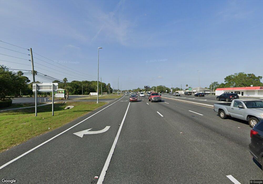
VIEW MAP Highway 19 Briar #C-75 Hwy Hudson, FL 34667
--
Bed
--
Bath
--
Sq Ft
3.56
Acres
About This Home
This home is located at VIEW MAP Highway 19 Briar #C-75 Hwy, Hudson, FL 34667. VIEW MAP Highway 19 Briar #C-75 Hwy is a home located in Pasco County with nearby schools including Shady Hills Elementary School, Crews Lake Middle School, and Hudson High School.
Ownership History
Date
Name
Owned For
Owner Type
Purchase Details
Closed on
Sep 12, 2023
Sold by
Huet John R and Huet Shannon L
Bought by
Nsr Realty Llc
Home Financials for this Owner
Home Financials are based on the most recent Mortgage that was taken out on this home.
Original Mortgage
$350,000
Outstanding Balance
$264,362
Interest Rate
6.5%
Mortgage Type
Seller Take Back
Purchase Details
Closed on
Apr 6, 2004
Sold by
Katsourakis Michael N and Katsourakis Antony N
Bought by
Huet John R and Huet Shannon L
Create a Home Valuation Report for This Property
The Home Valuation Report is an in-depth analysis detailing your home's value as well as a comparison with similar homes in the area
Home Values in the Area
Average Home Value in this Area
Purchase History
| Date | Buyer | Sale Price | Title Company |
|---|---|---|---|
| Nsr Realty Llc | $450,000 | Sunset Title Services | |
| Huet John R | $260,000 | First American Title |
Source: Public Records
Mortgage History
| Date | Status | Borrower | Loan Amount |
|---|---|---|---|
| Open | Nsr Realty Llc | $350,000 |
Source: Public Records
Tax History Compared to Growth
Tax History
| Year | Tax Paid | Tax Assessment Tax Assessment Total Assessment is a certain percentage of the fair market value that is determined by local assessors to be the total taxable value of land and additions on the property. | Land | Improvement |
|---|---|---|---|---|
| 2025 | $5,588 | $293,176 | $293,176 | -- |
| 2024 | $5,588 | $329,806 | $329,806 | -- |
| 2023 | $3,708 | $202,110 | $0 | $0 |
| 2022 | $2,901 | $187,151 | $187,151 | $0 |
| 2021 | $2,662 | $167,036 | $0 | $0 |
| 2020 | $2,430 | $152,285 | $0 | $0 |
| 2019 | $2,456 | $152,285 | $152,285 | $0 |
| 2018 | $2,465 | $152,285 | $152,285 | $0 |
| 2017 | $2,513 | $152,285 | $152,285 | $0 |
| 2016 | $2,550 | $152,285 | $152,285 | $0 |
| 2015 | $3,743 | $218,880 | $218,880 | $0 |
| 2014 | $3,681 | $218,880 | $218,880 | $0 |
Source: Public Records
Map
Nearby Homes
- 18118 Arbor Crest Dr
- 18035 Arbor Crest Dr
- 18311 Arbor Crest Dr
- 18314 Waydale Loop
- 18353 Briar Oaks Dr
- 10106 Tolman Dr
- 18905 Aripeka Rd
- 0 Aripeka Rd Unit MFRTB8312249
- 10143 Tolman Dr
- 18527 Waydale Loop
- 10094 Bankston Dr
- 17852 Fancy Ln
- 18148 Aripeka Rd
- 18639 White Pine Cir
- 18710 Dobson Dr
- 10228 Yellow Pine Way
- 18657 White Pine Cir
- 10221 Landmark Dr
- 17433 Walking Dr
- 10149 Briar Cir
- 10100 Ives Loop
- 10054 Ives Loop
- 10048 Ives Loop
- 10104 Ives Loop
- 10042 Ives Loop
- 10036 Ives Loop
- 10108 Ives Loop
- 10032 Ives Loop
- 10114 Ives Loop
- 10028 Ives Loop
- 10120 Ives Loop
- 18112 Arbor Crest Dr
- 18106 Arbor Crest Dr
- 18124 Arbor Crest Dr
- 18130 Arbor Crest Dr
- 10022 Ives Loop
- 10126 Ives Loop
- 18136 Arbor Crest Dr
- 18038 Arbor Crest Dr
- 18142 Arbor Crest Dr
