W10221 521st Ave Prescott, WI 54021
Estimated Value: $534,984 - $613,000
3
Beds
3
Baths
--
Sq Ft
5.89
Acres
About This Home
This home is located at W10221 521st Ave, Prescott, WI 54021 and is currently estimated at $578,746. W10221 521st Ave is a home located in Pierce County with nearby schools including Malone Elementary School, Prescott Middle School, and Prescott High School.
Ownership History
Date
Name
Owned For
Owner Type
Purchase Details
Closed on
Aug 1, 2017
Sold by
Johnson Chad A
Bought by
Smith Brad Allen and Smith Kristin Lynn
Current Estimated Value
Home Financials for this Owner
Home Financials are based on the most recent Mortgage that was taken out on this home.
Original Mortgage
$324,183
Outstanding Balance
$270,506
Interest Rate
3.96%
Mortgage Type
VA
Estimated Equity
$308,240
Create a Home Valuation Report for This Property
The Home Valuation Report is an in-depth analysis detailing your home's value as well as a comparison with similar homes in the area
Home Values in the Area
Average Home Value in this Area
Purchase History
| Date | Buyer | Sale Price | Title Company |
|---|---|---|---|
| Smith Brad Allen | $325,000 | Ancona Title |
Source: Public Records
Mortgage History
| Date | Status | Borrower | Loan Amount |
|---|---|---|---|
| Open | Smith Brad Allen | $324,183 |
Source: Public Records
Tax History Compared to Growth
Tax History
| Year | Tax Paid | Tax Assessment Tax Assessment Total Assessment is a certain percentage of the fair market value that is determined by local assessors to be the total taxable value of land and additions on the property. | Land | Improvement |
|---|---|---|---|---|
| 2024 | $6,480 | $424,400 | $75,000 | $349,400 |
| 2023 | $5,578 | $394,400 | $75,000 | $319,400 |
| 2022 | $4,728 | $394,400 | $75,000 | $319,400 |
| 2021 | $5,064 | $264,700 | $72,500 | $192,200 |
| 2020 | $5,590 | $264,700 | $72,500 | $192,200 |
| 2019 | $5,244 | $264,700 | $72,500 | $192,200 |
| 2018 | $5,061 | $264,700 | $72,500 | $192,200 |
| 2017 | $5,450 | $264,700 | $72,500 | $192,200 |
| 2016 | $5,159 | $264,700 | $72,500 | $192,200 |
| 2015 | $5,155 | $264,700 | $72,500 | $192,200 |
| 2014 | $5,123 | $264,700 | $72,500 | $192,200 |
| 2013 | $4,789 | $264,700 | $72,500 | $192,200 |
Source: Public Records
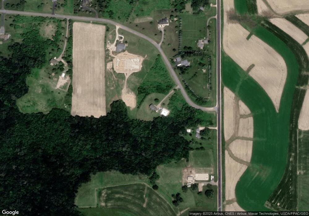
Map
Nearby Homes
- W10415 521st Ave
- N5449 County Rd E
- W10664 566th Ave
- xxxxx 566th Ave
- N5620 1090th St
- W10780 468th Ave
- W11011 470th Ave
- N4848 1110th St
- N5887 1110th St
- N4387 1115th St
- W11540 504th Ave
- W11980 565th Ave
- W9050 372nd Ave
- N5687 1210th St
- W10005 710th Ave
- W9746 State Road 35
- W8236 County Road Kk
- Lot 2 1098th St
- 490 Sea Wing Blvd
- Lot 16 817 Ave
- N5199 County Rd E
- W10234 521st Ave
- Lot 32 Crossroads
- Lot 32 Crossroads
- W10271 521st Ave
- N5275 County Rd E
- W10260 521st Ave
- LOT 3 Hwy E
- 5547 N Hwy E
- N5161 County Rd E
- N5283 County Rd E
- N5291 County Rd E
- N5291 Hwy E
- W10292 521st Ave
- W10320 521st Ave
- W10345 521st Ave
- W10350 521st Ave
- W10365 521st Ave
- W10391 521st Ave
- W10405 521st Ave