Estimated Value: $105,348 - $454,000
--
Bed
--
Bath
--
Sq Ft
1.02
Acres
About This Home
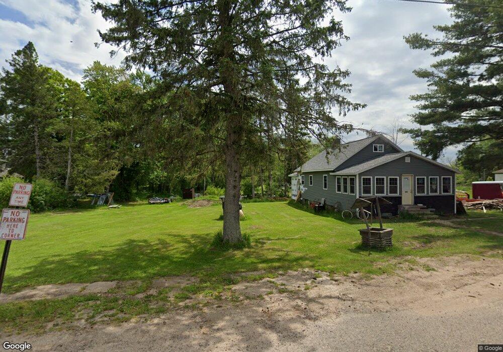
This home is located at W10705 Owano St, Elcho, WI 54428 and is currently estimated at $250,783. W10705 Owano St is a home.
Ownership History
Date
Name
Owned For
Owner Type
Purchase Details
Closed on
Mar 15, 2022
Sold by
Carole Mccabe
Bought by
Stephen Mccabe
Current Estimated Value
Purchase Details
Closed on
Nov 29, 2021
Sold by
Elijah Mccabe
Bought by
Carole Mccabe
Purchase Details
Closed on
Aug 25, 2005
Sold by
Elijah Elijah
Bought by
Mccabe Elijah and Mccabe Carole
Purchase Details
Closed on
Aug 2, 2004
Sold by
Mccabe Juanita
Bought by
Mccabe Elijah
Create a Home Valuation Report for This Property
The Home Valuation Report is an in-depth analysis detailing your home's value as well as a comparison with similar homes in the area
Home Values in the Area
Average Home Value in this Area
Purchase History
| Date | Buyer | Sale Price | Title Company |
|---|---|---|---|
| Stephen Mccabe | $49,000 | Michael B. Winter | |
| Carole Mccabe | $45,200 | Attorney Lawrence G. Vesely | |
| Mccabe Elijah | -- | -- | |
| Mccabe Elijah | $45,400 | -- |
Source: Public Records
Mortgage History
| Date | Status | Borrower | Loan Amount |
|---|---|---|---|
| Closed | Mccabe Elijah | $0 |
Source: Public Records
Tax History Compared to Growth
Tax History
| Year | Tax Paid | Tax Assessment Tax Assessment Total Assessment is a certain percentage of the fair market value that is determined by local assessors to be the total taxable value of land and additions on the property. | Land | Improvement |
|---|---|---|---|---|
| 2024 | $662 | $66,300 | $5,200 | $61,100 |
| 2023 | $636 | $43,800 | $5,200 | $38,600 |
| 2022 | $493 | $45,200 | $6,600 | $38,600 |
| 2021 | $1,436 | $45,200 | $6,600 | $38,600 |
| 2020 | $1,458 | $45,200 | $6,600 | $38,600 |
| 2019 | $1,833 | $45,200 | $6,600 | $38,600 |
| 2018 | $1,770 | $45,200 | $6,600 | $38,600 |
| 2017 | $1,981 | $45,200 | $6,600 | $38,600 |
| 2016 | $2,189 | $45,200 | $6,600 | $38,600 |
| 2015 | $1,931 | $45,200 | $6,600 | $38,600 |
| 2014 | $2,153 | $45,200 | $6,600 | $38,600 |
| 2013 | $2,219 | $45,200 | $6,600 | $38,600 |
Source: Public Records
Map
Nearby Homes
- N11347 Flower Ln
- W10604 Sunset Rd
- 28acres Sunset Rd
- 28 acres Sunset Rd
- ON County Highway B Unit 2 Acres
- W10402 Sunset Rd
- 261 U S 45
- W11751 Outlet Dr
- N10311 Hemlock Rd
- Near Brady Ln Unit LotWP001
- 1881 County Highway B
- 1879 Cth B
- 1875 County Highway B
- 701 U S 45
- N10074 Airhole Lake Ln
- W10774 Summit Lake Rd
- 10774 Summit Lake Rd
- Lot 1 Plantation Rd
- Lot 2 Plantation Rd
- Lot 4 Plantation Rd
- w 10705 Enterprise Lake Rd
- W10699 Enterprise Lake Rd
- W10704 Enterprise Lake Rd
- W10695 Enterprise Lake Rd
- W10700 Enterprise Lake Rd
- W10696 Enterprise Lake Rd
- W10679 Enterprise Lake Rd
- W10716 Enterprise Lake Rd
- W10687 Enterprise Lake Rd
- N11274 Riordan St
- W10728 Enterprise Lake Rd
- W10678 Enterprise Lake Rd
- W10683 Enterprise Lake Rd
- W10708 Bluebird Ln
- N11252 Woodland Ln
- w 10686 Enterprise Lake Rd
- W10694 Bluebird Ln
- W10698 Bluebird Ln
- W10695 Cole St
- W10736 Enterprise Lake Rd