W13805 Us Highway 10 Fairchild, WI 54741
Estimated Value: $236,000 - $482,679
--
Bed
--
Bath
--
Sq Ft
40
Acres
About This Home
This home is located at W13805 Us Highway 10, Fairchild, WI 54741 and is currently estimated at $361,226. W13805 Us Highway 10 is a home with nearby schools including Osseo-Fairchild Elementary School, Osseo-Fairchild Middle School, and Osseo-Fairchild High School.
Ownership History
Date
Name
Owned For
Owner Type
Purchase Details
Closed on
Sep 30, 2021
Sold by
Rut Knob Llc
Bought by
Rut Knob Game Farm Llc
Current Estimated Value
Purchase Details
Closed on
May 22, 2006
Sold by
Kell Michael P and Pierce Brady
Bought by
Rut Knob Llc
Purchase Details
Closed on
Feb 28, 2006
Sold by
Pierce Kirby and Pierce Troy
Bought by
Kell Michael P
Create a Home Valuation Report for This Property
The Home Valuation Report is an in-depth analysis detailing your home's value as well as a comparison with similar homes in the area
Home Values in the Area
Average Home Value in this Area
Purchase History
| Date | Buyer | Sale Price | Title Company |
|---|---|---|---|
| Rut Knob Game Farm Llc | -- | None Available | |
| Rut Knob Llc | -- | None Available | |
| Kell Michael P | $105,000 | None Available |
Source: Public Records
Tax History Compared to Growth
Tax History
| Year | Tax Paid | Tax Assessment Tax Assessment Total Assessment is a certain percentage of the fair market value that is determined by local assessors to be the total taxable value of land and additions on the property. | Land | Improvement |
|---|---|---|---|---|
| 2024 | $3,472 | $192,000 | $57,100 | $134,900 |
| 2023 | $3,280 | $192,000 | $57,100 | $134,900 |
| 2022 | $3,371 | $192,000 | $57,100 | $134,900 |
| 2021 | $3,496 | $192,000 | $57,100 | $134,900 |
| 2020 | $3,448 | $192,000 | $57,100 | $134,900 |
| 2019 | $3,387 | $146,400 | $43,200 | $103,200 |
| 2018 | $3,363 | $146,400 | $43,200 | $103,200 |
| 2017 | $3,341 | $146,400 | $43,200 | $103,200 |
| 2016 | $3,395 | $146,400 | $43,200 | $103,200 |
| 2015 | $3,706 | $146,400 | $43,200 | $103,200 |
| 2013 | $1,068 | $50,900 | $43,200 | $7,700 |
Source: Public Records
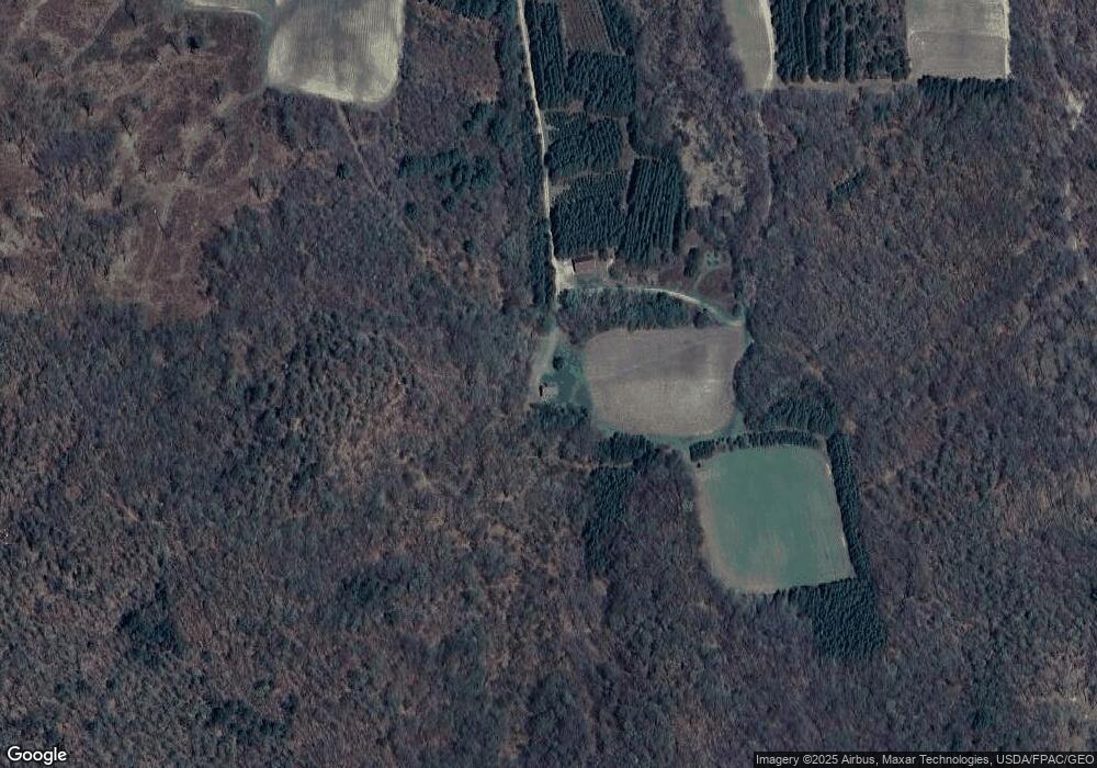
Map
Nearby Homes
- 000 Us Highway 10
- N14253 McGower Rd
- 002 Old Highway 10
- 000 Old Highway 10
- 001 Old Highway 10
- W14702 Old Highway 10
- 14707 Old Highway 10
- +/- 13 Acres County B Monthei Rd
- 218 E Main St
- E23745 Gerth Rd
- 0 N Sand Ln
- Tbd Crossover Rd
- 000 Oak Dr
- Lot 4 Moe Rd
- Tbd Hwy 12 27
- TBD State Highway 12 27
- 12172 Hixton Levis Rd
- TBD N Center Rd
- N12757 Rindahl Valley Rd
- W11421 Alderman St
- W13803 Us Highway 10
- N13762 Buck Knoll Trail
- N13302 Mccune Rd
- W13833 Us Highway 10
- N13566 Buck Knoll Trail
- N13617 Town Hall Rd
- N13690 Mccune Rd
- 13478 Mccune Rd
- W13782 Us Highway 10
- N13584 Mccune Rd
- W13639 E Bramer Rd
- N13556 Mccune Rd
- W13959 Us Highway 10
- W13959 U S 10
- N13429 Mccune Rd
- N13441 Mccune Rd
- W13597 E Bramer Rd
- N13451 Mccune Rd
- N13451 Mccune Rd
- 13453 Mccune Rd