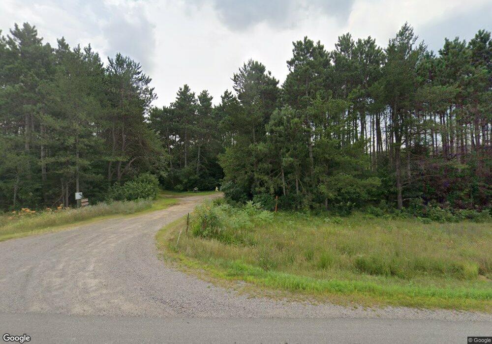
W15719 Us Highway 10 Fairchild, WI 54741
Estimated Value: $130,000 - $322,000
--
Bed
--
Bath
--
Sq Ft
7.97
Acres
About This Home
This home is located at W15719 Us Highway 10, Fairchild, WI 54741 and is currently estimated at $224,410. W15719 Us Highway 10 is a home with nearby schools including Osseo-Fairchild Elementary School, Osseo-Fairchild Middle School, and Osseo-Fairchild High School.
Ownership History
Date
Name
Owned For
Owner Type
Purchase Details
Closed on
Mar 1, 2006
Sold by
Card Norma J and Walker Norma J
Bought by
Larson Randy S and Larson Bonita K
Current Estimated Value
Home Financials for this Owner
Home Financials are based on the most recent Mortgage that was taken out on this home.
Original Mortgage
$33,300
Outstanding Balance
$18,875
Interest Rate
6.22%
Mortgage Type
Purchase Money Mortgage
Estimated Equity
$205,535
Create a Home Valuation Report for This Property
The Home Valuation Report is an in-depth analysis detailing your home's value as well as a comparison with similar homes in the area
Home Values in the Area
Average Home Value in this Area
Purchase History
| Date | Buyer | Sale Price | Title Company |
|---|---|---|---|
| Larson Randy S | -- | None Available |
Source: Public Records
Mortgage History
| Date | Status | Borrower | Loan Amount |
|---|---|---|---|
| Open | Larson Randy S | $33,300 |
Source: Public Records
Tax History Compared to Growth
Tax History
| Year | Tax Paid | Tax Assessment Tax Assessment Total Assessment is a certain percentage of the fair market value that is determined by local assessors to be the total taxable value of land and additions on the property. | Land | Improvement |
|---|---|---|---|---|
| 2024 | $2,535 | $171,800 | $23,500 | $148,300 |
| 2023 | $2,353 | $171,800 | $23,500 | $148,300 |
| 2022 | $2,449 | $171,800 | $23,500 | $148,300 |
| 2021 | $2,257 | $117,100 | $10,800 | $106,300 |
| 2020 | $2,218 | $117,100 | $10,800 | $106,300 |
| 2019 | $2,183 | $117,100 | $10,800 | $106,300 |
| 2018 | $2,194 | $117,100 | $10,800 | $106,300 |
| 2017 | $2,339 | $117,100 | $10,800 | $106,300 |
| 2016 | $2,309 | $119,100 | $10,800 | $108,300 |
| 2015 | $2,842 | $119,100 | $10,800 | $108,300 |
| 2013 | $2,364 | $119,100 | $10,800 | $108,300 |
Source: Public Records
Map
Nearby Homes
- Lot 4 Moe Rd
- 0 N Sand Ln
- 14707 Old Highway 10
- W14702 Old Highway 10
- 000 Old Highway 10
- E23745 Gerth Rd
- 001 Old Highway 10
- 002 Old Highway 10
- N48025 County Hwy B
- N14253 McGower Rd
- 000 Us Highway 10
- N12757 Rindahl Valley Rd
- 12135 Norway Rd
- 12133 Norway Rd
- 12139 Norway Rd
- 12153 Norway Rd
- 51093 Oak Ridge Rd
- 51025 Ridge View Rd
- 12825 Thomas St
- +/- 13 Acres County B Monthei Rd
- W15759 Us Highway 10
- W15759 Us Highway 10
- W15709 Us Highway 10
- 15795 Vietnam War Veterans Memorial Hwy
- W15795 U S 10
- W15795 Us Highway 10
- 15850 Vietnam War Veterans Memorial Hwy
- W15850 U S 10
- W15678 Moe Rd
- W15851 Us Highway 10
- W15850 Us Highway 10
- N14073 Sand Ln
- W15854 Us Highway 10
- 15854 Vietnam War Veterans Memorial Hwy
- N13986 N Sand Ln
- 15525 Vietnam War Veterans Memorial Hwy
- W15754 Kay Rd
- W15565 Us Highway 10
- W15664 Kay Rd
- W15646 Kay Rd