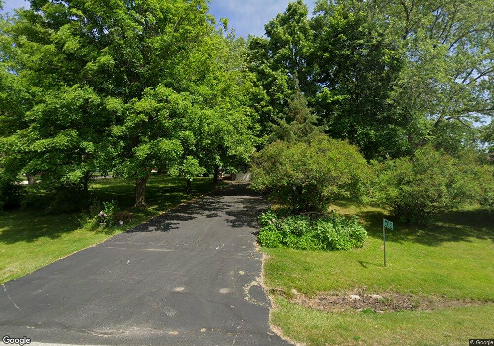
W242S10260 Meadow Cir Big Bend, WI 53103
Estimated Value: $456,000 - $575,000
--
Bed
--
Bath
--
Sq Ft
1
Acres
About This Home
This home is located at W242S10260 Meadow Cir, Big Bend, WI 53103 and is currently estimated at $522,305. W242S10260 Meadow Cir is a home located in Waukesha County with nearby schools including Big Bend Elementary School, Park View Middle School, and Mukwonago High School.
Ownership History
Date
Name
Owned For
Owner Type
Purchase Details
Closed on
Jun 20, 1997
Sold by
Kasper Linda S
Bought by
Stachowiak John W and Stachowiak Susan R
Current Estimated Value
Home Financials for this Owner
Home Financials are based on the most recent Mortgage that was taken out on this home.
Original Mortgage
$140,000
Outstanding Balance
$19,741
Interest Rate
7.81%
Estimated Equity
$502,564
Create a Home Valuation Report for This Property
The Home Valuation Report is an in-depth analysis detailing your home's value as well as a comparison with similar homes in the area
Home Values in the Area
Average Home Value in this Area
Purchase History
| Date | Buyer | Sale Price | Title Company |
|---|---|---|---|
| Stachowiak John W | $180,000 | United Title Services |
Source: Public Records
Mortgage History
| Date | Status | Borrower | Loan Amount |
|---|---|---|---|
| Open | Stachowiak John W | $140,000 |
Source: Public Records
Tax History Compared to Growth
Tax History
| Year | Tax Paid | Tax Assessment Tax Assessment Total Assessment is a certain percentage of the fair market value that is determined by local assessors to be the total taxable value of land and additions on the property. | Land | Improvement |
|---|---|---|---|---|
| 2024 | $3,746 | $461,900 | $112,700 | $349,200 |
| 2023 | $3,639 | $461,900 | $112,700 | $349,200 |
| 2022 | $3,766 | $341,800 | $73,600 | $268,200 |
| 2021 | $3,719 | $341,800 | $73,600 | $268,200 |
| 2020 | $3,777 | $341,800 | $73,600 | $268,200 |
| 2019 | $3,548 | $287,800 | $64,000 | $223,800 |
| 2018 | $3,571 | $287,800 | $64,000 | $223,800 |
| 2017 | $3,539 | $287,800 | $64,000 | $223,800 |
| 2016 | $3,532 | $287,800 | $64,000 | $223,800 |
| 2015 | $3,466 | $287,800 | $64,000 | $223,800 |
| 2014 | $3,758 | $0 | $0 | $0 |
| 2013 | $3,758 | $291,200 | $65,000 | $226,200 |
Source: Public Records
Map
Nearby Homes
- W240S10240 Castle Rd
- S94W23620 Kunzendorf Ct
- 8428 Fox River Rd
- S96W22870 River Oaks Dr
- S95W23000 River Oaks Dr
- Pcl0 Clark St
- 7908 Fox River Rd
- 7820 Fox River Rd
- W232S8755 Edgewood Ct
- Lt2 Marianne Ave
- 28645 Sunflower Ln
- 28747 N Lake Dr
- 28679 Driftwood Ct
- W255S8545 Hi lo Dr
- W232S8430 Rosemary Dr
- S83W23145 Artesian Ave
- 7134 N Tichigan Rd
- 7110 N Tichigan Rd
- Lt3 Madyson Ct
- Lt2 Madyson Ct
- W242S10240 Meadow Cir
- W242S10255 Meadow Cir
- W242S10220 Meadow Cir
- W242S10275 Meadow Cir
- W242S10225 Meadow Cir
- W243S10285 Meadow Cir
- W242S10195 Meadow Cir
- W241S10185 Clover Ct
- W242S10185 Meadow Cir
- W241S10180 Clover Ct
- W242S10175 Meadow Cir
- W241S10155 Meadow Cir
- W241S10150 Meadow Cir
- W243S10130 Lea Dr
- W243S10110 Lea Dr
- W240S10275 Castle Rd
- W243S10090 Lea Dr
- W240S10265 Castle Rd
- W241S10130 Meadow Cir
- W241S10135 Meadow Cir
